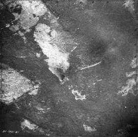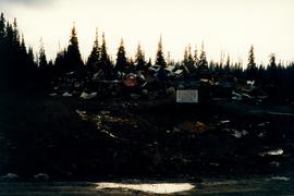
2007.1.30.2.060
·
Pièce
·
[9 July 1966]
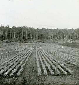
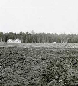
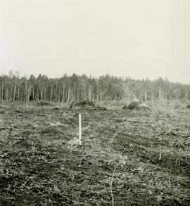
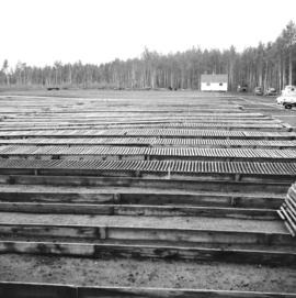
Fait partie de Aleza Lake Research Forest fonds
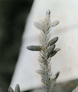
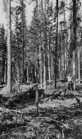
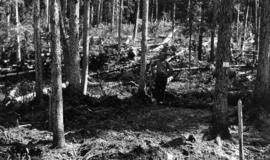
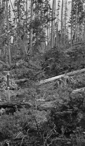
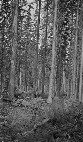
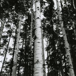
Caption describing photograph: "Bark habit at mid-bole."