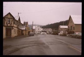
Image depicts a street in Wells, B.C. The Wells Hotel is present in the image.
Item is an original 1862 map depicting various gold regions of British Columbia published by Britton & Company, San Francisco.
Item is an original 1879 map depicting northern British Columbia and the Peace River Country, created by G.M. Dawson and published in Geological Survey of Canada Report B 1879-80.
Item is a photocopy of a map depicting the central section of British Columbia showing the area served by the Grand Trunk Pacific Railway published by the Poole Brothers in Chicago.
Item is a photocopied 1915 pre-emptor's map of Fort George, published by the British Columbia Department of Lands.
Item is a photocopied 1915 map depicting the Fort Fraser Division, published by the British Columbia Department of Lands.
Item is a photocopy of Plan No. 1268 showing a subdivision of part of Indian Reserve no. 1 Lot 343 in the Cariboo District of British Columbia.
Item is a photocopy of Plan No. 1268 showing a subdivision of part of Indian Reserve no. 1 Lot 343 in the Cariboo District of British Columbia.
Topographic map depicting regions, communities, unexplored areas, bodies of water, transport routes, and glaciers.
Item is an original 1919 pre-emptor's map of Tete Jaune, published by the British Columbia Department of Lands.
Item is a photocopied map depicting the Cariboo district of British Columbia, in the vicinity of Summit Lake and the Salmon River.
Item is a photocopied 1923 pre-emptor's map of Fort George, published by the British Columbia Department of Lands.
Item is a photocopied 1925 fire insurance plan depicting the Eagle Lake Spruce Mills Ltd. in Giscome, British Columbia published by the British Columbia Fire Underwriters Association.
Item is a photocopied 1930 pre-emptor's map of Fort George, published by the British Columbia Department of Lands.
Item is a photocopied 1930 pre-emptor's map of Fort George, published by the British Columbia Department of Lands.
Item is an original 1935 pre-emptor's map of Quesnel, published by the British Columbia Department of Lands.
Item is an original 1943 pre-emptor's map of Fort George, published by the British Columbia Department of Lands.
Item is a photocopied 1944 map depicting Fort George, published by British Columbia Department of Lands.
Item is a photocopied 1944 map depicting Fort George, published by the British Columbia Department of Lands.
File contains slides depicting aerial views of Prince George.
Item is a photocopied 1949 pre-emptor's map of Fort George, published by the British Columbia Department of Lands.
Item is an original 1950 pre-emptor's map of the Chilcotin region, published by the British Columbia Department of Lands and Forests.
Item is a photocopied plan depicting the Eagle Lake Sawmills Ltd. in Giscome, British Columbia with the plan of the sawmill and adjacent buildings, published by Transit Survey by L.C. Gunn and P.J. Klotz.
Item is an original 1952 map depicting Isle Pierre in British Columbia, published by the British Columbia Department of Lands and Forests. Map includes pen markings.
Item is an original 1952 map depicting Isle Pierre British Columbia, published by the British Columbia Department of Lands and Forests.
Item is an original 1954 map depicting Salmon Valley British Columbia, published by British Columbia Department of Lands and Forests. Map includes pen markings.
Item is an original 1955 map depicting surficial geology of Anahim Lake, British Columbia published by the Geological Survey of Canada.
File consists of photographs depicting Kitimat, British Columbia in a bound flip book.
Item is an original 1961 map depicting Giscome in British Columbia, published by the Army Service Establishment, R.C.E. Map includes pen markings.
Item is an original 1961 map depicting Prince George .
Item is a photocopied 1961 National Topographic System map of Sinclair Mills in British Columbia, published by the Canadian Department of Geography. The map includes pen markings.
Item is an original 1961 partial map depicting Giscome, published by the Army Service Establishment, R.C.E. Map includes pen markings.
File contains slides depicting a caving group in various places in West Virgina, USA.
File contains slides depicting the Peyto Glacier.
File contains slides depicting the Ram Glacier.
File consists of a bound thesis titled "Geomorphology and Mass Budget of Peyto Glacier, Alberta" by John Kent Sedgwick submitted for his 1966 Master of Arts at McMaster University.
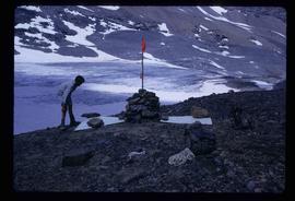
Image depicts a marker for aerial photography at an uncertain location. The slide labels it as "Elizabeth Station."
Item is an original 1966 map depicting Quesnel British Columbia, published by the Department of Lands, Forests and Water Resources in Victoria.
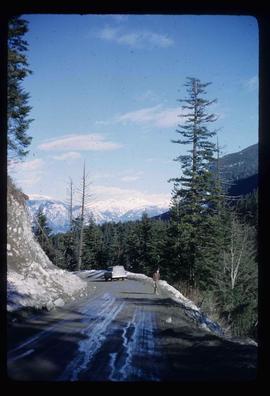
Image depicts a road located somewhere near Birken, B.C.
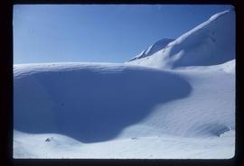
Image depicts the Place Glacier.
Image depicts the Place Glacier.
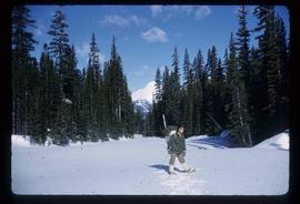
Image depicts an unknown individual at the Place Glacier.
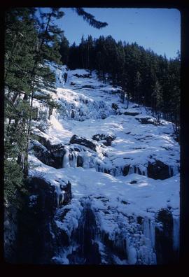
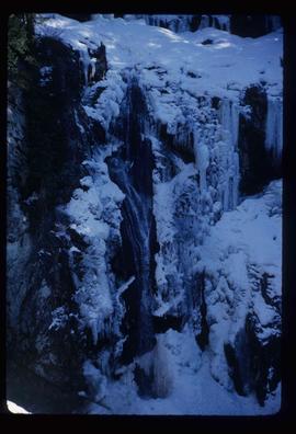
Image depicts the mostly frozen Place Creek Falls.
Image depicts the mostly frozen Place Creek Falls.
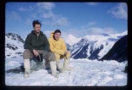
Image depicts two unknown individuals at the Place Glacier.
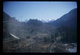
Image depicts some power lines and a forest somewhere near Birken, B.C.
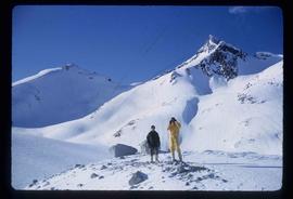
Image depicts the Place Glacier. There are two unknown individuals present.
Image depicts two unknown individuals at the Woolsey Glacier.
Item is an original 1967 map depicting Prince George in British Columbia, published by the British Columbia Department of Lands, Forests and Water Resources. Map includes pen markings.
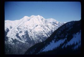
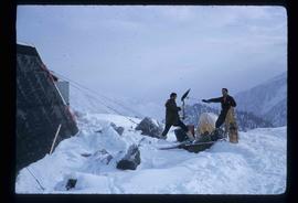
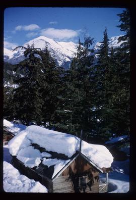
Image depicts a snow-covered cabin and a mountain in the distance. It is located somewhere near Birken, B.C.
