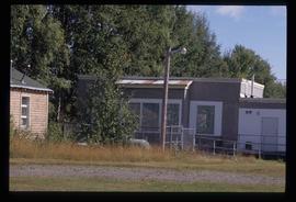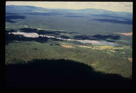
2012.13.1.2.003
·
Stuk
·
Dec. 1980
Part of J. Kent Sedgwick fonds
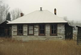
Image depicts the Hixon School building in Hixon, B.C.