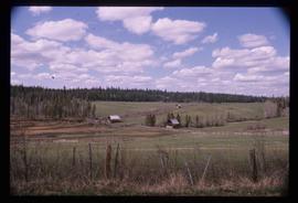
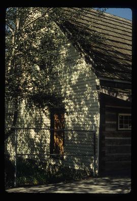
Showing 27 results

Archival description
25 results with digital objects Show results with digital objects
Cottonwood House
2012.13.1.126.49 · Item · [1990?]
Part of J. Kent Sedgwick fonds

Image depicts the Cottonwood House Historic Site along Barkerville Highway, east of Quesnel, B.C. A sign posted by the fence reads: "For over half a century the Boyd family operated this haven for man and beast. Here weary travellers found lodging, food, and drink. Here fresh horses were hitched to stage-coaches and miners bought supplies. This historic road-house, built in 1864, stood as an oasis of civilization on the frontier of a rich new land."

Farm
2012.13.1.50.067 · Item · 1978
Part of J. Kent Sedgwick fonds

Image depicts a farm on the west side of the Fraser, south of Quesnel, B.C.

Dairy Farm - Interior
2012.13.1.50.073 · Item · [1978?]
Part of J. Kent Sedgwick fonds

Image depicts numerous pieces of machinery in the interior of a building at a dairy farm, located somewhere near Quesnel, B.C. Several unknown individuals are present.

2012.13.2.19 · Subseries · 1955-2011
Part of J. Kent Sedgwick fonds

Subseries contains material collected and created by Kent Sedgwick for research on various areas in British Columbia and Alberta. Includes written notes by Kent Sedgwick, pamphlets, and newspaper clippings relating to towns and settlements. These areas include Quesnel, Likely, the Yukon Telegraph Trail, Barkerville, Wells, the Cariboo region, Fort Alexandria, Soda Creek, the Chilcotin region, Jasper, the Rocky Mountains, Mackenzie, Tumbler Ridge, the Peace River region, Fort St. James, the Omineca region, Kitimat, Lethbridge, the Bulkley Valley, and Fort Mcleod. These files cover a variety of topics including Chinese people in British Columbia, land settlement, tourism, and historic information on the regions.