Subseries consists of material collected by Kent Sedgwick for research regarding the communities along the East Line of the Grand Trunk Pacific Railway in Central British Columbia, particularly between Prince George and McBride. These communities and locations include, among others, Shelley, Willow River, Sinclair Mills, Longworth, Dunster, Tete Jaune, Valemount, Mount Robson, and the Yellowhead Pass. Research on these communities was conducted during Kent Sedgwick's involvement in the UNBC-led Upper Fraser Historical Geography Project. The files primarily consist of research notes, audio and transcripts of oral interviews, and photographs of the East Line communities.
File contains slides depicting places along the east line of the BC Railway.
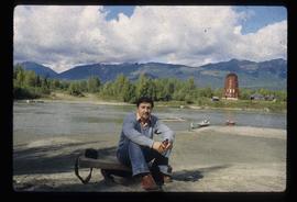
Image depicts Kent Sedgwick sitting on the bank of a river. An old beehive burner is visible in the background. Located somewhere in or near Penny, B.C.
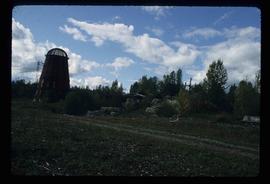
Image depicts a beehive burner somewhere in or near Penny, B.C.
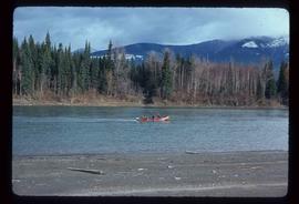
Image depicts a red boat on a river, possibly the Fraser, near Penny, B.C.
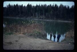
Image depicts four unidentified individuals standing on the bank of a river, possibly the Fraser, somewhere in or near Penny, B.C.
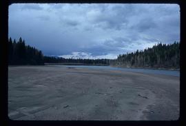
Image depicts a river, possibly the Fraser, near Penny, B.C.
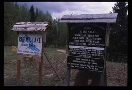
Image depicts two signs for hiking trails in Penny, B.C. One reads: "Hiking trail to Red Mt. Lake (Grizzly Bear Mt.) expect to meet wild animals."
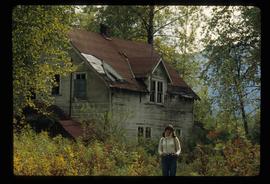
Image depicts Sue Sedgwick standing in front of an old, run-down house somewhere in or near Penny, B.C.
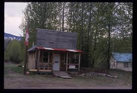
Image depicts the post office in Penny, B.C.
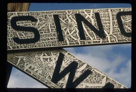
Image depicts a railway crossing sign with peeling and cracked paint somewhere in or near Penny, B.C.
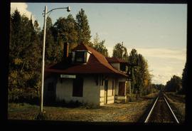
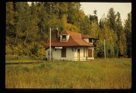
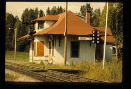
Image depicts the CN Station in Penny B.C.
Image depicts the CN Station in Penny B.C.
Image depicts the CN Station in Penny B.C. A woman, possibly Sue Sedgwick, is sitting against the outside wall.
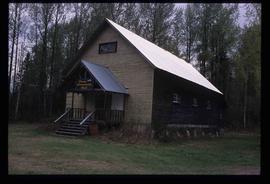
Image depicts the community hall in Penny, B.C.
