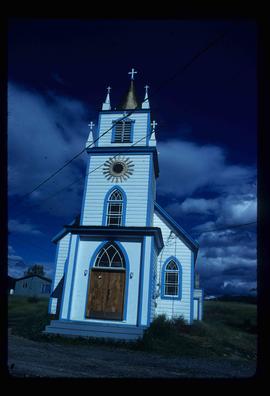
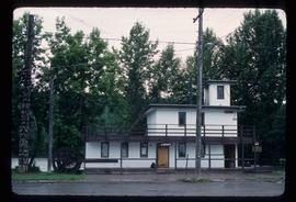
Image depicts a church, somewhere between Hazelton and Hagwilget, B.C.
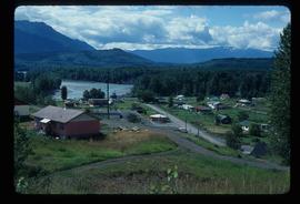
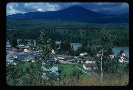
Image depicts Hazelton, B.C.
Image depicts Hazelton, B.C.
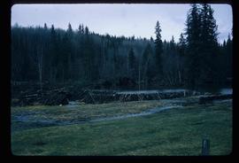
Image depicts a beaver dam somewhere in Hazleton, B.C.
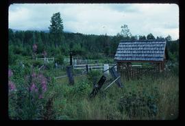
Image depicts the cemetery in Hazelton, B.C.
Image depicts the cemetery in Hazelton, B.C.
Image depicts a tombstone in the cemetery in Hazelton, B.C.
Image depicts the cemetery in Hazelton, B.C.
Image depicts the public library in Hazelton, B.C.
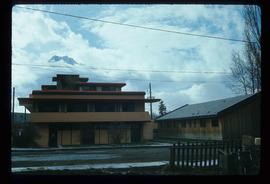
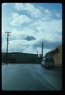
Image depicts the Inlander Hotel in Hazelton, B.C. The peak of the Rocher de Boule mountain is visible in the background.
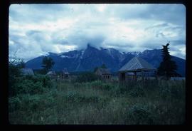
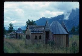
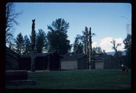
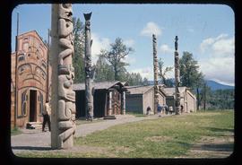
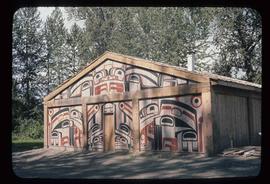
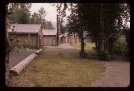
Image depicts the historical village of 'Ksan near Hazelton, B.C.
Image depicts the 'Ksan historical village in Hazelton, B.C.
Image depicts the 'Ksan historical village in Hazelton, B.C.
Image depicts the historical village of 'Ksan in Hazelton, B.C.
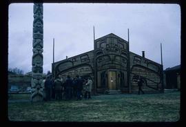
Image depicts a group of people in the historical village of 'Ksan near Hazelton, B.C.
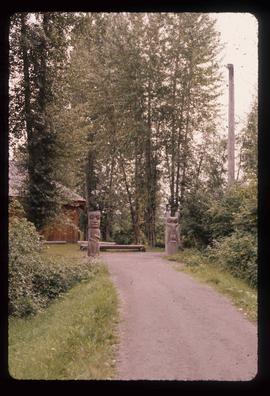
Image depicts the entrance to the historical village of 'Ksan in Hazelton, B.C.
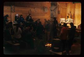
Image depicts a large gathering of people in the interior of a First Nations' longhouse located in the historical village of 'Ksan in Hazelton, B.C.
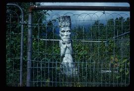
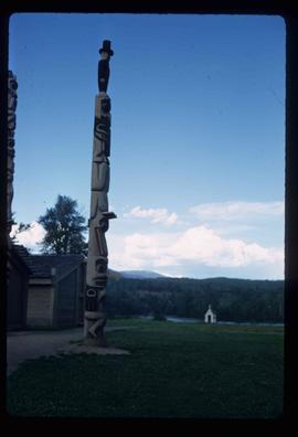
Image depicts a totem pole in the historical village of 'Ksan near Hazelton, B.C.
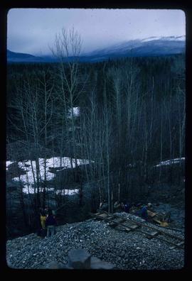
Image depicts a group of people at a mine somewhere near Hazelton, B.C.
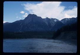
Image depicts the peak of the Rocher de Boule mountain from Hazelton, B.C.
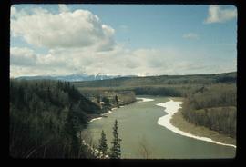
Image depicts the Skeena River at Hazelton, B.C.
Image depicts the Skeena River at Hazelton, B.C.
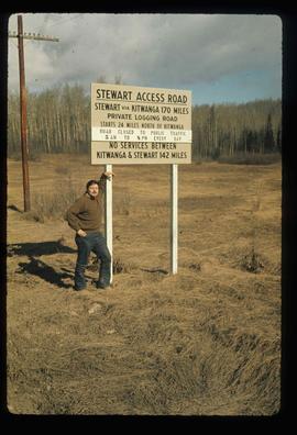
Image depicts a man, possibly Kent Sedgwick, leaning against a sign forbidding public traffic on the Stewart Access Road from between 5 am to 8 pm. Located in Hazelton, B.C.
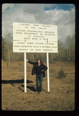
Image depicts an unknown individual leaning against a sign at the Stewart Access Road which warns travellers to pack several days of food. Located in Hazelton, B.C.
