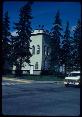
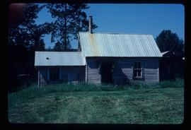
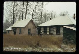
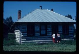
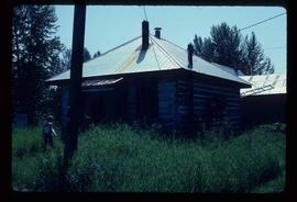
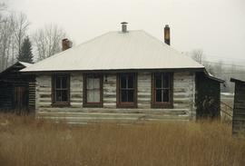
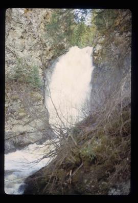
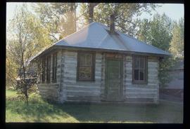
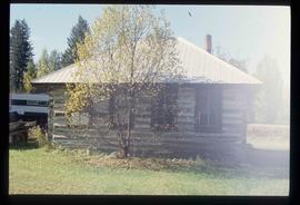
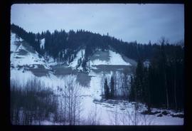
File contains slides depicting places in or around Red Rock, Hixon, and Woodpecker, B.C.
File contains slides depicting images of places in or around Red Rock, Hixon, and Woodpecker, B.C.
Subseries contains material collected and created by Kent Sedgwick for research regarding various areas surrounding Prince George. Includes materials on the Crooked River area; Summit Lake; Ferguson Lake; Chief Lake; Salmon Valley; Mud River; Beaverly; Buckwater; Chilako River; Indian Reserve no. 4; Blackburn; Pineview; Stone Creek; Red Rock; Woodpecker; and Hixon. The files primarily consist of research notes and photographs depicting the communities.
Image depicts a Knox United Church at an uncertain location, though possibly in either Hixon or Woodpecker, B.C.
Image depicts the Hixon School Teacherage.
Image depicts the Hixon School and teacherage buildings in Hixon, B.C.
Image depicts the Hixon School.
Image depicts the Hixon School building in Hixon, B.C.
Image depicts several people standing near the Hixon Falls in Hixon, B.C.
Image depicts the Hixon Falls in Hixon, B.C.
Image depicts an area of placer mining at Hixon Creek in Hixon, B.C.
Image depicts the power lines in the Hixon area south of Prince Georg, B.C.
Image depicts an old building, possibly the old teacherage, somewhere in Hixon, B.C.
Image depicts a few buildings, possibly an old school and teacherage, in Hixon, B.C.
Image depicts an old building, possibly the old school, somewhere in Hixon, B.C.
Image depicts a view of the scenery near Hixon, B.C.