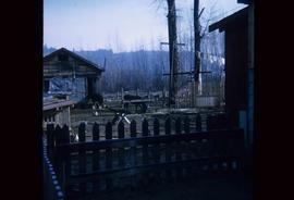
Image depicts what appears to be an animal pen in Island Cache. There are two horses and a chicken in the enclosure, and a rundown building.
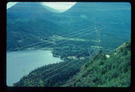
Image depicts a view of D'Arcy, located on the southern end of Anderson Lake.
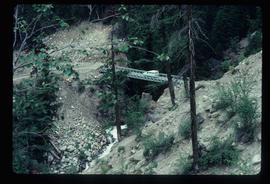
Image depicts a vehicle on a bridge somewhere near Anderson Lake in the Seton Portage area.
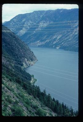
Image depicts power lines running alongside Anderson Lake near Seton Portage, B.C.
Image depicts the Anderson Lake.
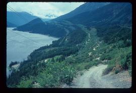
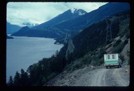
Image depicts a view of Anderson Lake near Seton Portage, B.C. A vehicle on a mountain road is also visible.
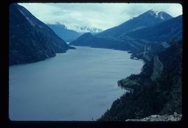
Image depicts a view of Anderson Lake near Seton Portage, B.C.
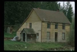
Image depicts an old, rundown building at an uncertain location.
Item is an original 1989 map depicting Anahim Lake in British Columbia, published by Energy Mines and Resources Canada.
Item consists of three maps pieced together to depict Anahim Lake, Bella Coola, and Quesnel in British Columbia originally published by the Department of Lands, Forests and Water Resources in Victoria B.C.
Photograph depicts the Ambulance service building in the North Thompson region.
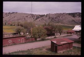
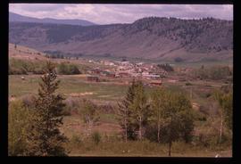
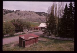
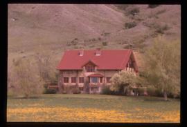
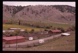
Image depicts the Alkali Lake Ranch in Alkali Lake, B.C.
Image depicts the Alkali Lake Ranch in Alkali Lake, B.C.
Image depicts the Alkali Lake Ranch in Alkali Lake, B.C.
Image depicts the Alkali Lake Ranch in Akali Lake, B.C.
Image depicts the Alkali Lake Ranch in Alkali Lake, B.C.
The item is a photograph depicting a painting of a church at Aleza Lake by Vivian Antoniw. Note attached to the back of the picture states, "Vivian Antoniw - church at Aleza L."
File consists of notes, clippings, and reproductions relating to Aleza Lake. Includes photographs depicting the Aleza Lake Cemetery (2001).
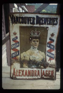
Image depicts an old beer advertisement for Alexandria Lager, somewhere in Wells, B.C.
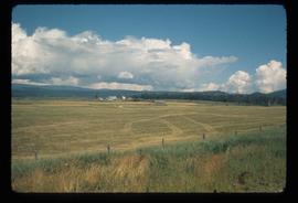
Image depicts some farmland near Alexandria, B.C.
File consists of reproduced copy of "To the Memory of Alexander Mackenzie's Granddaughter and last Descendant Mrs. Heald (Alexandra Isabel Mackenzie)" originally published in 1933.
File consists of typed documents, letters, and reports relating to the Alexander Mackenzie voyageur route near Vanderhoof. Includes: "Nuxalk-Carrier Grease Trail / Alexander Mackenzie Voyageur route" management plan annual report from the Vanderhoof Forest District (Jan.-Dec. 1994) and "RE: Alexander Mackenzie Heritage Trail" letter to the regional managers of the Prince George Forest Region and Cariboo Forest Region and the Director of the Archaeology Branch from Greg Nicoholls, the chair of the Alexander Mackenzie Heritage Trail Coordinating Committee (19 Apr. 1995).
File consists of notes, clippings, and reproductions relating to the new Alexander Mackenzie monument in Fort George Park (renamed Lheidli T'enneh Memorial Park). Includes: "British Columbia Heritage Brigade Journey" pamphlet from Parks Canada and Canoe Sport B.C. (1985); "Alexander Mackenzie Trail Association" newsletter No. 9 (1987); "Alexander Mackenzie Voyageur Association" newsletter No. 36 (1994); and correspondence letters between John D. Adams, Supervisor of Interpretation and Heritage Site operations for the Province of British Columbia and Kent Sedgwick (Apr.- May 1986). Also includes photographs depicting the new Alexander Mackenzie monument and people at the unveiling (1985).
File consists of notes, clippings, and reproductions relating to the Alexander Mackenzie monument in Prince George. Includes a photograph depicting Judge Howay at the unveiling of the original National Historic Monument to Alexander Mackenzie in Prince George on 13 June 1925 (reproduced 2009).
File consists of bound documents, plans, and reproductions. Includes: "Public input summary" spiral bound book from Parks Canada (Dec. 1985) and "Alexander Mackenzie Heritage Trail" bound book published by Parks Canada (17 July 1985).
File consists of a booklet titled "Alexander Mackenzie Heritage Trail Master Development Plan" prepared by Parks Canada.
File consists of a spiral bound booklet titled "Alexander Mackenzie Heritage Trail Management Plan" prepared by the Province of British Columbia.
File consists of a spiral bound booklet titled "Alexander Mackenzie Heritage Trail Draft Management Plan" prepared by the Province of British Columbia.
Subseries consists of material created and collected by Kent Sedgwick during his involvement with the Alexander Mackenzie Heritage Trail Association. Sedgwick was the treasurer and later the president of the Alexander Mackenzie Voyageur Route Association. The association was formed to create the first official heritage trail in British Columbia. The trail is now called the Nuxalk-Carrier Grease Trail and is part of the route across Canada followed by Alexander Mackenzie in 1789 to 1793. The association aided in having the route recognized by each provincial government and the federal government. The files primarily consist of management plans, summary documents, booklets, and pamphlets created by the association, the provincial government, and Parks Canada.
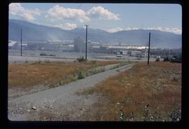
Image depicts the Alcan smelter in Kitimat, B.C.
Image depicts a small section of the Alaska Highway somewhere near Whitehorse, Y.T. The slide also appears to be labelled "army washing" for unknown reasons.
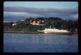
Image depicts the ferry to Alaska in the port of Prince Rupert, B.C.
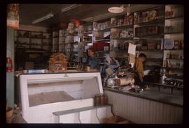
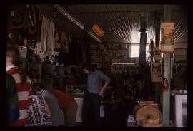
Image depicts the interior of an old convenience store; there are several unknown individuals present. It is located at the 153 Mile House.
Image depicts the interior of an old convenience store; numerous unknown individuals are present. It is located at the 153 Mile House.
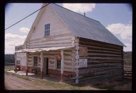
Image depicts an old convenience store, with a sign on it labelled "Al Crosina." It is located at the 153 Mile House.
File contains slides depicting New and Old Aiyansh, as well as the Tseax Lava Flow.
File consists of notes and reproductions relating to air photographs of Prince George. File predominantly consists of reproduced air photos and photocopied air photos from the Royal BC Museum and Archives depicting Prince George and region. Includes: "RE: Archive Photos Gd" printed email from Gabrielle Dupuis to Kent Sedgwick (17 Oct. 2000) and "Aerial photograph data sheet" reproduction of a data sheet (27 June 1978).
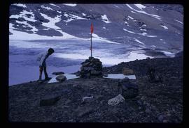
Image depicts a marker for aerial photography at an uncertain location. The slide labels it as "Elizabeth Station."
The item is a photograph depicting Ahbau railway bridge. Annotation on reverse side of photograph states, "Ahbau bridge."
File consists of notes, clippings, and reproductions relating to historical agriculture in Prince George. Includes material on the Prince George Farmer's Institute; experimental plots surrounding Prince George; farming in areas surrounding Prince George including Pineview, Mud River, and Blackburn; ranching; gardening; and the Prince George Experimental Farm. Includes: "Moose in British Columbia, Canada" an educational pamphlet from the Fish and Wildlife Branch of the Department of Recreation and Conservation in British Columbia.
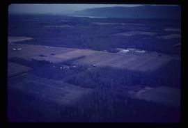
Image depicts an agricultural field, most likely near Prince George, B.C.
Subseries consists of material collected and created by Kent Sedgwick for research relating to agriculture in Prince George and the surrounding areas including Pineview, Mud River, and Blackburn. Includes material regarding the Prince George experimental farm, historical agriculture, dairying, and ranching.
The item is a photograph reproduction from ca. 1970 of an original taken ca. 1920. The photograph depicts the AG Hamilton Pioneer Store in South Fort George. Annotations on the reverse of the photograph state, "448 19 D982 56.22 The 'AG Hamilton Pioneer Store' in SFG. Donor: Ft. George Museum (Mrs. Brown)."
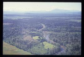
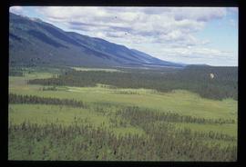
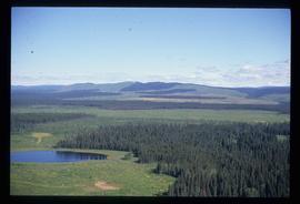
Image depicts an aerial view of a forest somewhere in the area of Divide Lake.
Image depicts an aerial view of a forest somewhere in the area of Divide Lake.
Image depicts an aerial view of a forest somewhere in the area of Divide Lake.
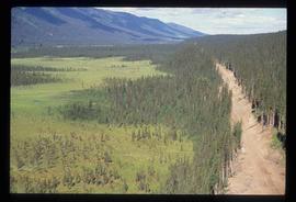
Image depicts an aerial view of the land in the area of Divide Lake.
The item is a blueprint depicting exterior additions to the Goglin building on 4th Avenue, Prince George. Blueprints are for Cariboo Motors and indicate it is "Sheet 2 of Two." The architect is J. F. Watson and plans were drawn by J. H. Annotation on back of blueprint states, "GOGLIN BLDG." Notes attached to the blueprint state, "Goglin Bldg. for Cariboo Motors" and "S. side 4th Ave."
The item is a blueprint depicting interior additions to the Goglin building on 4th Avenue, Prince George. Blueprints are for Cariboo Motors and indicate it is "sheet No. 1 of Two." The architect is J. F. Watson and plans were drawn by J. H.
File contains slides depicting various places located across Canada.
