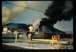
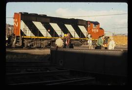
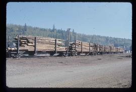
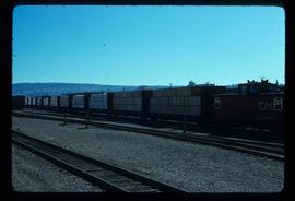
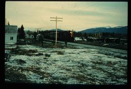
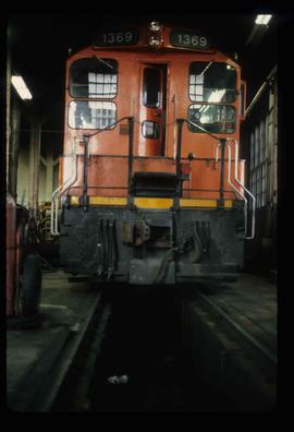
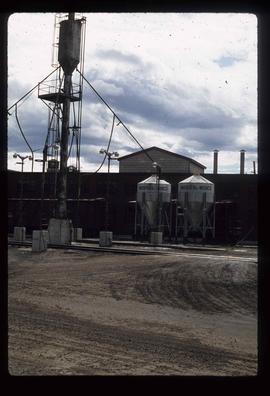
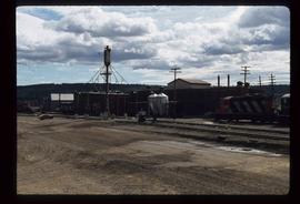
Image depicts several trains at the Giscome mill site in Giscome, B.C. Map coordinates 54°04'19.7"N 122°22'04.7"W
Image depicts a train and a group of unknown individuals at the GTP roundhouse in Prince George, B.C.
The item is a photograph depicting a train along the river during the Nechako River flood in January 1937. Annotation on reverse side of photograph states, "1937 Nechako River Flood."
Image depicts a train carrying logs somewhere in Prince George, B.c.
The item is a photograph slide reproduction depicting a train on tracks with an ice jam reaching up to the train tracks. Annotation on the slide states, "train."
Image depicts a train transporting wood planks, possibly in Prince George, B.C.
The photograph depicts train tracks in a forested rural area during autumn. Annotation on reverse side of photograph states, "Hulatt fall 2009."
The photograph depicts train tracks in a forested rural area during autumn. Annotation on reverse side of photograph states, "Hulatt."
The photograph depicts a yellow plow next to the train tracks near Finmoore, B.C. in autumn. Annotation on reverse side of photograph states, "looking W."
The photograph depicts twin train tracks near Finmoore, B.C. in the summer.
The photograph depicts train tracks near Finmoore, B.C. in autumn. There are two houses in the background with smok coming out of one of the chimneys.
The photograph depicts a yellow plow next to the train tracks near Finmoore, B.C. in autumn. Photograph taken from a road.
The photograph depicts train tracks near Finmoore, B.C. in the summer. The front half of a dark coloured truck is seen on the right side of the photograph.
The photograph depicts twin train tracks near Finmoore, B.C. in the summer.
Image depicts a train track and several buildings in an unknown location.
The photograph depicts the old train station in Prince George. The door reads CN. Photograph likely reproduction from 1984.
Image depicts a train and several unidentified individuals who appear to be waiting for it as it passes through Sinclair Mills, BC.
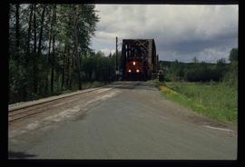
Image depicts a train on the Hansard Bridge across the Fraser River looking west. Map coordinates 54°04'37.7"N 121°50'39.9"W
Image depicts a train in the interior of the GTP roundhouse in Prince George, B.C.
Image depicts a train in the GTP roundhouse in Prince George, B.C.
Image depicts what is possibly a train fuelling station at the GTP Roundhouse in Prince George, B.C.
Image depicts what is possibly a train fuelling station at the GTP Roundhouse in Prince George, B.C.
Image depicts what is possibly a train fueling station at the GTP Roundhouse in Prince George, B.C.
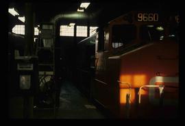
The photograph depicts train engine maintenance equipment in the interior of the roundhouse at the CN Railyard in Prince George, B.C. Reproduction of photograph from 1984.
The item is a photograph slide reproduction depicting a train on tracks with flood waters reaching the bottom of the train engine. There are two men on a train car behind the engine. Annotation on the slide states, "train."
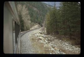
Image depicts the side of a train and the tracks it is on, somewhere in the Seton Portage area.
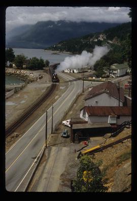
Image depicts a train in an uncertain location, though it is possibly Howe Sound in the background.
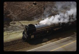
Image depicts a train in an uncertain location.
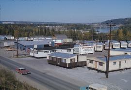
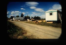
Image depicts mobile homes for sale on Cowart Road looking northeast with Simon Fraser Bridge in background. Map coordinates 53°52'39.3"N 122°46'13.1"W
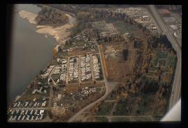
Image depicts a trailer park by either the Fraser or Nechako River in Prince George, B.C.
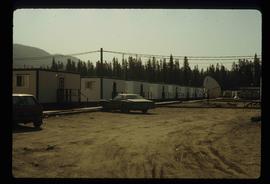
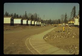
Image depicts a number of trailer homes in Tumbler Ridge, B.C.
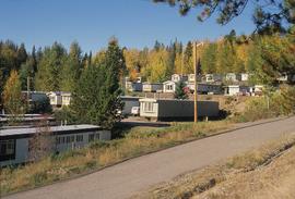
Image depicts trailer homes in Prince George, B.C.
Image depicts a number of trailer homes in Tumbler Ridge, B.C.
Image depicts Upper Fraser residential area during demolition of town site. Map coordinates 54°06'51.6"N 121°56'26.3"W
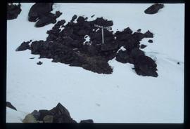
Image depicts a patch of snow-covered ground with a sign that reads "Trail of 98," somewhere along the White Pass railway.
File contains slides depicting a trail, and other areas, near Rossland, B.C.
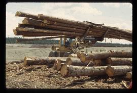
Image depicts a tractor with a claw lifting logs at a saw mill in Prince George, B.C.
File consists of notes and reproductions relating to townsites along the Grand Trunk Pacific Railway. Includes material regarding townsite planning for McBride, Willow River, Prince George, Terrace, Prince Rupert, and South Hazelton.
File consists of a typescript document titled "Townsite Promotion at Fort George: G.J. Hammond and the Natural Resources Security Company, 1909-1914" by Neil Holmes.
File consists of photocopied articles relating to townsite planning and development in the plains and along the railway. The articles have handwritten annotations by Kent Sedgwick. File includes: "International perspectives on ralway townsite development in Western Canada 1877-1914" by John Gilpin; "Towns of the Western Railroads" by John C. Hudson; and a photocopied book "Plains Country Towns" by John C. Hudson.
The item is a reproduction of a survey map drafted in 1909. The reproduction was likely created in 1990. The area covered is South of Fort George Avenue, East of Fraser Street, North of Mount Stephen Avenue, and West of Simpson Street. Annotations state, "Pl. 649."
The item is a reproduction of a survey map drafted in September 1909. The reproduction was likely created in 1990. The annotations highlight owners of different lots up to approximately 1959. Th area covered is North of Fifteenth Avenue, East of Irwin Street, South of Eighth Avenue and West of Carney Street. Annotations on attached papers indicate different means of scale and measurement for the map.
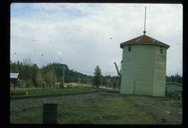
The photograph depicts a CN train engine next to a tower at the CN rail yard in Prince George, BC. Reproduction of photograph from 1984.
Subseries contains material collected and created by Kent Sedgwick regarding heritage tours he conducted in Prince George and the East Line communities for various events. The files primarily include notes and photographs used by Sedgwick for these tours. He conducted tours for the Heritage Society of British Columbia, the British Columbia Historical Federation, the Western Division of the Canadian Association of Geographers, the Planning Institute of British Columbia, and the Heritage BC Conference. The tours consisted of walking throughout downtown Prince George and recognizing the heritage of the area.
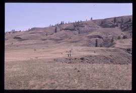
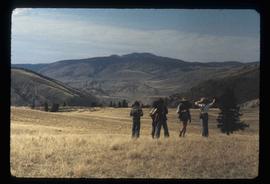
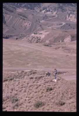
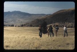
Image depicts a view of the scenery at an uncertain location with numerous individuals, possibly tourists, present. It is possibly somewhere near the Fraser River.
Image depicts a view of the landscape at an unknown location with a group of people, possibly tourists, present. It is possibly near the Fraser River.
Item is an original map depicting tourism in southwestern British Columbia published by the Province of British Columbia Ministry of Tourism.
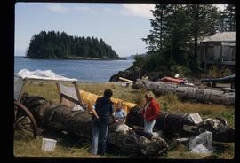
Image depicts several individuals examining totem poles which are possibly undergoing a restoration process somewhere on Haida Gwaii.
