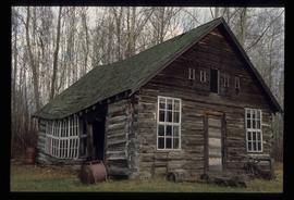
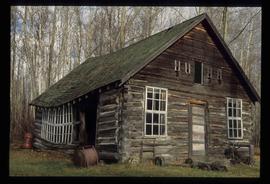
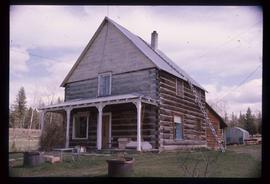
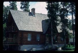
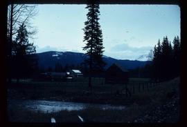
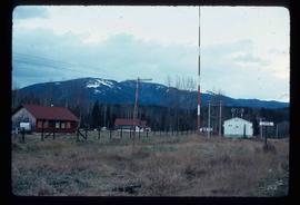
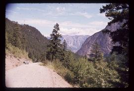
Image depicts a log cabin, possibly in Beaverly.
Image depicts a log cabin, possibly in Beaverly.
Photograph depicting a log cabin with a woman sitting on the front porch, presumably Sue Sedgwick. The photograph is presumably taken in Quesnelle Forks.
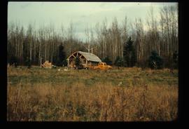
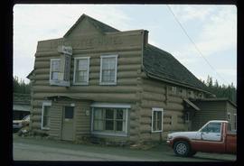
Image depicts a log cabin and an orange truck somewhere in or near Longworth, B.C.
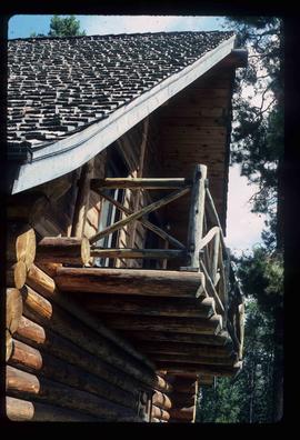
Image depicts the balcony of a log house, likely somewhere in or near Prince George B.C.
Photograph depicting a log house, presumably in the campground in Quesnelle Forks.
Photograph depicting a small log cabin with a front porch and a sign reading "Happy 150th Anniversary Cariboo Gold Rush 1859-2009", presumably taken in Quesnelle Forks.
Image depicts a log house at an uncertain location.
Image depicts a log house at an uncertain location.
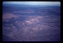
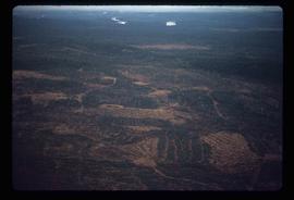
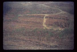
Image depicts an area undergoing logging somewhere in Prince George, B.C.
Image depicts a logging area somewhere near Prince George, B.C.
Image depicts a logging area somewhere near Prince George, B.C.
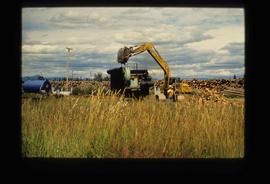
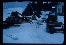
Image depicts numerous piles of logs, and two unidentified individuals operating an excavator with a "thumb" attachment during the demolition of the Upper Fraser town site. Map coordinates 54°06'51.6"N 121°56'26.3"W
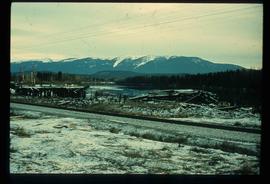
Image depicts a pile of old logs on the bank of the Fraser River with mountains in the background. In the foreground, a set of railway tracks run through an uncertain location, likely Upper Fraser, B.C.
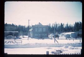
The item is a photograph of the London Hotel, Da Moreno Italian restaurant and Saver's Optical on 3rd Avenue in Prince George.
Image depicts the Lone Butte Hotel in Lone Butte, B.C.
Image depicts the Lone Butte Hotel in Lone Butte, B.C.
File consists of notes, clippings, and reproductions relating to Longworth, a community along the East Line. The community post office opened in 1915 and Longworth was dependent on the sawmill which closed in 1929. File also includes photographs depicting various buildings in Longworth, including the post office, railway tracks, and a log building (2010).
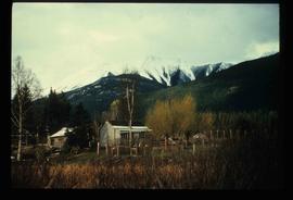
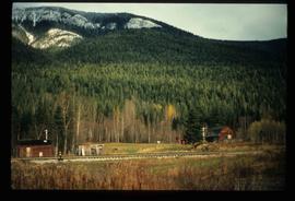
Image depicts a house surrounded by trees and a mountain in the background; it is most likely located somewhere in or near Longworth, B.C.
Image depicts four unidentified individuals walking along the bank of the Fraser River in Longworth, B.C.
Image depicts numerous piles of wood in Longworth, B.C.
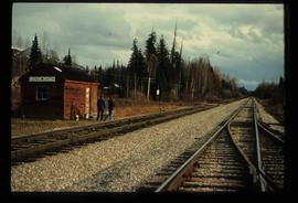
Image depicts two unidentified individuals standing next to the train station, and two railway tracks running through Longworth, B.C.
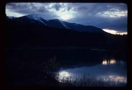
Image depicts the Fraser River and a mountain in Longworth, B.C.
Image depicts several old shacks and some railway tracks running through Longworth, B.C.
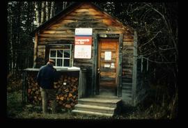
Image depicts the post office in Longworth, B.C.
Image depicts several buildings in the community of Loos, B.C.
Image depicts several buildings in the community of Loos, B.C.
The item is a photograph slide reproduction depicting low water levels and the dried riverbed on the Fraser River.
The item is a photograph slide reproduction depicting low water levels and the dried riverbed on the Fraser River.
The item is a photograph depicting low water levels and the dried riverbed on the Fraser River.
The item is a photograph depicting low water levels on the Fraser River and the Yellowhead Bridge. Annotation on accompanying note states, "C. Oct. 20 2006 low water."
The item is a photograph slide reproduction depicting low water levels and the dried riverbed on the Fraser River.
The item is a photograph slide reproduction depicting low water levels and the dried riverbed on the Fraser River.
The item is a photograph depicting low water levels and the dried riverbed on the Fraser River.
The item is a photograph depicting low water levels and the dried riverbed on the Fraser River.
The item is a photograph depicting low water levels and the dried riverbed on the Fraser River.
The item is a photograph slide reproduction depicting low water levels and the dried riverbed on the Fraser River.
The item is a photograph slide reproduction depicting low water levels and the dried riverbed on the Fraser River.
The item is a photograph depicting low water levels and the dried riverbed on the Fraser River.
The item is a photograph depicting low water levels and the dried riverbed on the Fraser River.
The item is a photograph slide reproduction depicting low water levels and the dried riverbed on the Fraser River.
The item is a photograph depicting low water levels and the dried riverbed on the Fraser River. Annotations on accompanying yellow sticky note states, "JPGs in Photo Store -> Floods LOW WATER."
Image depicts a view of the lower Cayoosh Valley.
Image depicts the lower end of the river channel leading to the Spectacle Lakes.
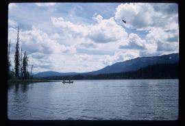
Image depicts two unknown individuals canoeing on the lower part of Spectacle Lake.
The item is a 35 mm photograph negative depicting the remaining lumber beams after the fire at the Bank of Montreal in Prince George.
The item is a photograph depicting the remaining lumber beams after the fire at the Bank of Montreal in Prince George.
The item is a 35 mm photograph negative depicting the remaining lumber beams after the fire at the Bank of Montreal in Prince George.
The item is a photograph depicting the remaining lumber beams after the fire at the Bank of Montreal in Prince George.
File consists of notes and reproductions relating to Luther Collins Gunn and L.C. Gunn Park. Luther Colins Gunn was a survey engineer who had done work for the Grand Trunk Pacific Railway and the Pacific Great Eastern Railway when he arrived in Prince George. The L.C. Gunn trail follows the same route used by Gunn when surveying the rail routes in the Prince George area. Includes: "Gunn Point" typescript document by Ted Williams for the Heritage Advisory Committee (1985); "A Proposal - The L.C. Gunn Viewpoint" typescript letter to Mr. Mac Norris, president of the B.C.R. Company from Ted Williams and the Heritage Advisory Committee (27 Jan. 1987); and "Item of business, proposed use of District Lot # 486" typescript letter from the Heritage Advisory Committee to Beverley Pitman, Planning Assistant (31 May 1979). Also includes photographs depicting the Moffat farm (2005).
