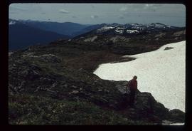
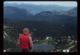
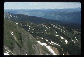
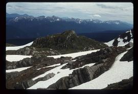
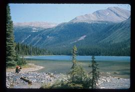
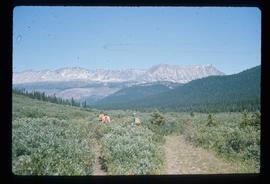
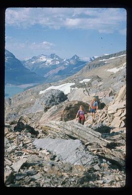
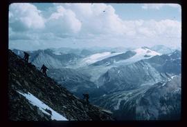
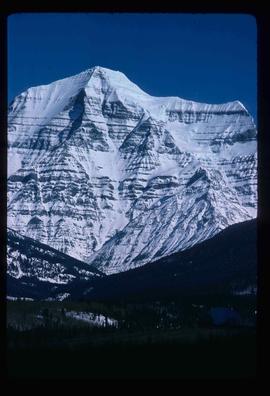
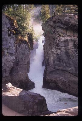
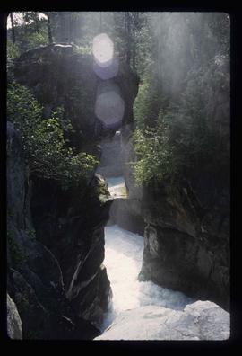
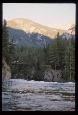
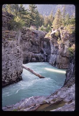
Image depicts the Nairn Falls in Nairn Falls Provincial Park south of Pemberton, B.C.
Image depicts Nairn Falls.
Image depicts the old Myatovic schools.
File consists of volumes of the "Museum Mirror" newspaper published by the Fraser-Fort George Regional Museum.
Image depicts a woman standing next to a model of a ship in glass case in what appears to be a museum. The location is uncertain.
File contains slides depicting Pine Pass and Murray Ridge, B.C.
Image depicts a man sliding down the remaining snow on Murray Ridge.
Image depicts an unknown individual and some snow located somewhere along the Murray Ridge.
Image depicts the back of a man looking out over Murray Ridge.
Image depicts a view of Murray Ridge.
Image depicts a muddy back road and an old shack at an uncertain location.
The item is a photograph depicting the old Mud River school and teacherage. Annotation on reverse side of photograph states, "Mud R. early school + teacherage 1920."
The item is a photograph depicting the old Mud River school and teacherage.
The item is a photograph depicting a road at Mud River in front of the school and teacherage. Three wooden buildings are shown next to a field. Annotation on reverse side of the photograph states, "Mud River old road in front of teacherage DL 4360 NE corner."
File consists of notes and reproductions relating to Mud River Elementary School. Also includes photographs depicting old Mud River buildings and roads.
The item is a photograph depicting two small, white buildings on Mud River Road. Annotation on reverse side of photograph states, "19055 upper Mud River Rd. DL 4360 NE corner."
File consists of notes, clippings and reproductions relating to Mud River and Beaverly. Also includes photographs depicting various buildings and homesteads in Mud River (2002).
Image depicts a rail road bridge over the Mud River.
File contains slides depicting Mud River.
Image depicts the Mud River.
Image depicts what appears to be a mud house with grass and weeds growing on the roof at an uncertain location. An unknown woman is sitting on a bench outside of it.
Image depicts Mud River, also known as the Chilako River, at Blackwater Road, Prince George, B.C.
The item is a photograph depicting people dancing at the bicentennial celebration at Fort George Park, now known as Lheidli T'enneh Memorial Park.
Image depicts a river somewhere in Mt. Robson Provincial Park, with a bridge running over it. The slide itself is labelled "Robson station."
Image depicts an unknown individual crouching by a lake somewhere near Mt. Robson.
Image depicts a group of hikers somewhere in the Mt. Robson Provincial Park.
Image depicts a pair of hikers and a view of Mt. Robson Provincial Park.
Image depicts a view of Mt. Robson Provincial Park, with a group of hikers hiking up a mountain side in the foreground.
Image depicts a group of hikers somewhere in Mt. Robson Provincial Park.
Image depicts a glacier somewhere in Mt. Robson Provincial Park.
Image depicts a range of mountains in the Mt. Robson Provincial Park.
Image depicts a view of Mt. Robson Provincial Park.
Image depicts the peak of Mt. Robson.
Image depicts a view of the Berg Lake and Glacier on the slope of Mt. Robson.
Image depicts Mt. Robson.