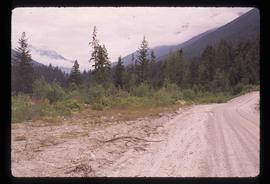
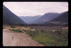
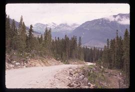
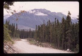
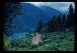
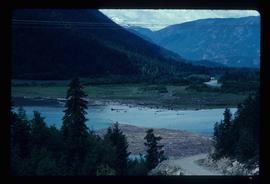
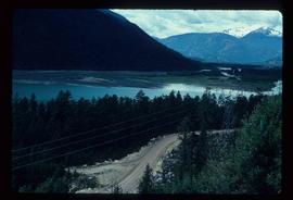
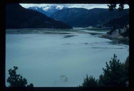
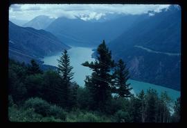
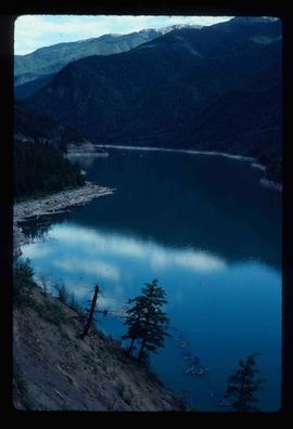
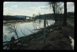
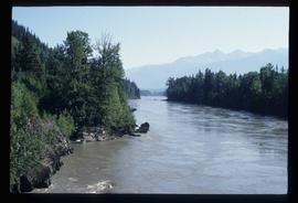
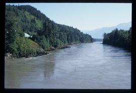
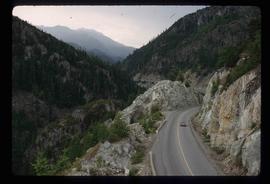
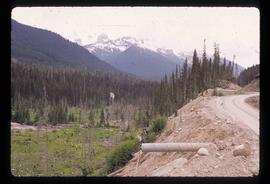
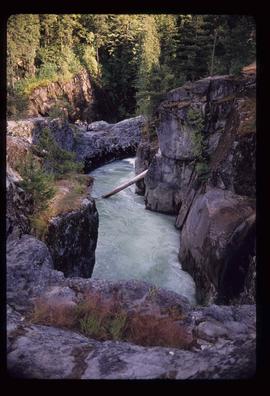
Image depicts an aerial view of a stretch of road near the Fraser Bridge.
Image depicts a forest and a road, somewhere near Duffey Lake.
Image depicts the Duffey Lake Provincial Park.
Image depicts a road somewhere near Duffey Lake.
Image depicts the Duffey Lake Provincial Park.
Image depicts a section of land from Highway 97 near Cache Creek, B.C.
Image depicts a view of the land surrounding Bralorne, B.C.
Image depicts a dirt road somewhere near Bralorne, B.C.
Image depicts a view of a river near Bralorne, B.C.
Image depicts a river somewhere near Bralorne, B.C.
Image depicts an elevated view of a river near Bralorne, B.C.
Image depicts a river somewhere near Bralorne, B.C.
Image depicts a stretch of land from Highway 97 near 100 Mile House, B.C.
Image depicts an old, collapsing house at the Nautley site in Fort Fraser, B.C.
Image depicts a couple of old, collapsing buildings at the Nautley site in Fort Fraser, B.C.
Image depicts the entrance of the Nautley River in Fort Fraser, B.C.
Image depicts numerous trees damaged by beavers near the Nautley River.
Image depicts Nautley and the Nautley River near Fraser Lake, B.C.
Image depicts a nature trail on Cottonwood Island.
File consists of clipping, notes, and reproductions relating to the Natural Resources Security Company, the company was responsible for a land-selling campaign, selling lots for the townsite to later be Central Fort George, which was owned and ran by George John Hammond in Fort George. Includes: "The sales campaign of George J. Hammond and the Natural Resources Security Company" typescript research essay by Anna Bumby (30 Apr. 1981); "Fort George and its tributary territory" photocopied article from British Columbia Magazine (1912); "Facts, what British Columbia offers you" reproduction of a pamphlet produced by the Natural Resources Security Company, Ltd. (1910); and reproduced excerpts from an unidentified pamphlet issued in 1912 by the Natural Resources Security Company, Ltd.
Image depicts natural meadows, possibly east of Prince Georg, B.C.
The map depicts British Columbia, including outlines of Indigenous tribal territories and a smaller map of Canada with Indigenous language families. The reverse side of the map is titled, "What Are You Ready For" and includes a timeline of information and Indigenous history.
The photograph depicts two men receiving gifts, posing with Kent Sedgwick at the National Communities in Bloom Competition in Prince George in 1995.
The photograph depicts two men and three women examining an open binder with Kent Sedgwick at the National Communities in Bloom Competition in Prince George in 1995.
Image depicts a bridge over the Nation River somewhere south of Manson Creek, B.C.
Image depicts the Nation River somewhere south of Manson Creek, B.C.
Image depicts a camper parked on the shore of Nation Lakes, south of Manson Creek, B.C.
Image depicts a south-west view of the Nass Valley.
Item is an original 1972 map depicting the Nass River in British Columbia, published by the Department of Lands, Forests and Waster Resources of British Columbia.
Image depicts a bridge over the Nass River.
Image depicts the Nass River from a bridge at an uncertain location.
Image depicts what is possibly the Nass River.
File contains slides depicting Nanaimo and the Pacific Rim.
File consists of clippings, notes, and reproductions relating to the naming of the city of Prince George and the origins of the name. Includes: "Proclamation" photocopy of British Columbia Gazette discussing the naming of the city of Prince George (1915); "Prince George needs a new name" print of pgcitizen.ca article by Neil Godbout including comments on the article (July 2009); "Prince George" in Prince George Citizen, Northern Explorer (May 2006); and "History of Prince George" in a Prince George Towncenter Business Association publication (July 1985).
Image depicts Nairn Falls in Nairn Falls Provincial Park.
Image depicts a view of Nairn Falls Provincial Park.
Image depicts the Nairn Falls in Nairn Falls Provincial Park south of Pemberton, B.C. There is an unknown child sitting on the rocks in the image.
Image depicts the Nairn Falls in Nairn Falls Provincial Park south of Pemberton, B.C.