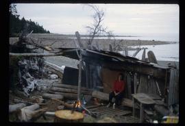
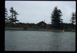
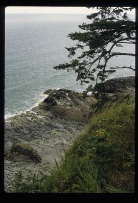
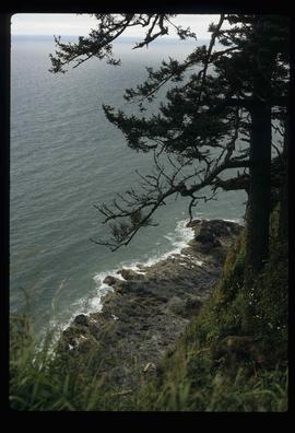
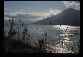
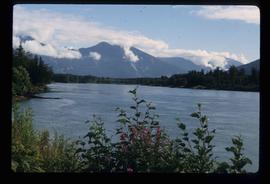
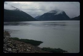
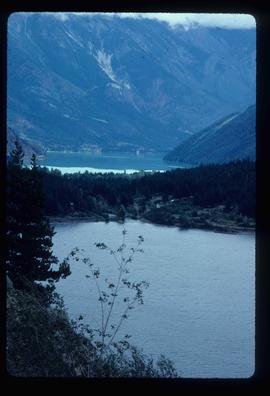
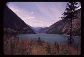
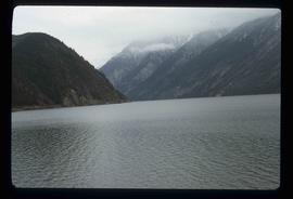
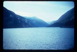
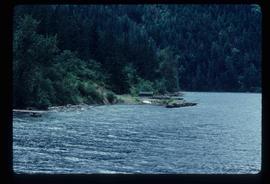
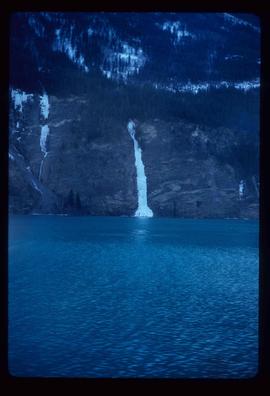
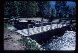
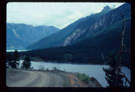
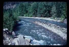
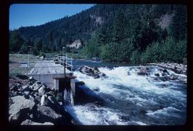
Image depicts a view of Seton Portage in the trees, located between the two lakes, Seton and Anderson.
Image depicts a view of Seton Lake, located near Lillooet, B.C.
Image depicts what is either Seton or Anderson Lake near Seton Portage, B.C.
Image depicts a lake near Seton Portage; it is likely either Anderson or Seton Lake.
Image depicts a small shack on the shore of a lake near Seton Portage; it is likely either Anderson or Seton Lake.
Image depicts a frozen water fall located at a lake near Seton Portage; it is likely either Anderson or Seton Lake.
Image depicts the side of a train and the tracks it is on, as well as a small section of what is either Seton or Anderson Lake near Seton Portage, B.C.
Image depicts a river somewhere in Seton Portage, B.C.
Image depicts a church and several houses in Seton Portage, B.C.
Image depicts numerous houses and a tractor in Seton Portage, B.C.
Image depicts a type of gate system for the river water, possibly controlling irrigation, located somewhere in Seton Portage, B.C.
File contains slides depicting Seton Portage and its surrounding areas.
Image depicts a view of the area surrounding Seton Portage, B.C. Seton and Anderson Lake are both visible, with what is possibly either Seton Portage or Nosebag mountain also present.
Image depicts a small river somewhere in or near Seton Portage, B.C.
Image depicts a river somewhere in or near Seton Portage, B.C.
Image depicts the train station in Seton Portage, B.C.
Image depicts a woman, possibly Sue Sedgwick, sitting in a shack on a beach on Haida Gwaii.
Image depicts two old shacks and a mountain in the background. Possibly located in or near Longworth, B.C.
Image depicts a shed on the shore somewhere on Haida Gwaii.
Image depicts several ships on the water in Prince Rupert, B.C.
Image depicts the shore line and surrounding land of a lake or river at an airport, possibly in Prince George, B.C.
Image depicts a downward view of a small section of the shore of Haida Gwaii.
Image depicts a vehicled parked on the side of the road, with a view of the coast of Haida Gwaii in the background.
Image depicts layers of silt along the Chilako River near Blackwater Road, Prince George, B.C.
Image depicts a beehive burner covered in snow in Sinclair Mills, B.C. Map coordinates 54°01'17.4"N 121°40'53.0"W
Image depicts railway tracks and buildings with a beehive burner on the left. The location is likely Sinclair Mills, B.C. Map coordinates 54°01'17.4"N 121°40'53.0"W
Item is a photocopied 1961 National Topographic System map of Sinclair Mills in British Columbia, published by the Canadian Department of Geography. The map includes pen markings.
File consists of notes, clippings, and reproductions relating to Kent Sedgwick's guest lecture at the University of Northern British Columbia on Prince George. Includes: "Situating Prince George" handwritten lecture notes by Kent Sedgwick (2006) and "Geography of British Columbia" university syllabus (2003). Also includes a CD-R "Situating P.G". containing Kent Sedgwick's notes and photographs (Mar. 2006).
File contains slides depicting places around and between Skagway, on the Alaska border, Atlin and Miles Canyon.
Image depicts one of the main streets, Broadway, in Skagway, Alaska.
Image depicts the bus depot in Skagway, Alaska (USA).
Image depicts the Skeena River at Hazelton, B.C.
Image depicts Skeena Crossing, B.C.
Image depicts two totem poles in Skeena Crossing, B.C.
Image depicts the Skeena River.
Image depicts the Skeena River at Hazelton, B.C.
Image depicts the Skeena River, as well as a stretch of highway that appears to be under construction.
Image depicts the Skeena River somewhere near Prince Rupert, B.C.
Image depicts the community of Skidegate on Haida Gwaii.
Image depicts a skier in a costume with a fake sword, somewhere on the Birchleg Ski route on Tabor Mountain in Prince George, B.C.
Image depicts a vehicle and a large group of skiers somewhere on Tabor Mountain in Prince George, B.C.
Image depicts numerous skiers and skis that are standing upright in in the snow on Tabor Mountain in Prince George, B.C.
Image depicts numerous skiers on the Birchleg Ski route on Tabor Mountain in Prince George, B.C.