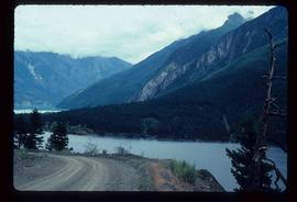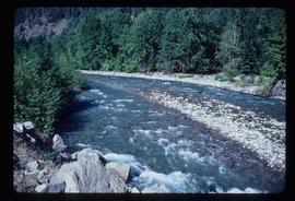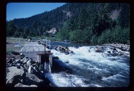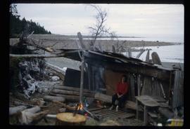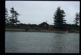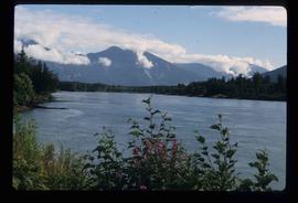
2012.13.1.82.32
·
Item
·
1981
Part of J. Kent Sedgwick fonds
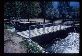
Image depicts a type of gate system for the river water, possibly controlling irrigation, located somewhere in Seton Portage, B.C.