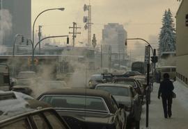
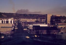
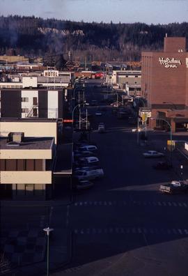
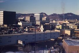
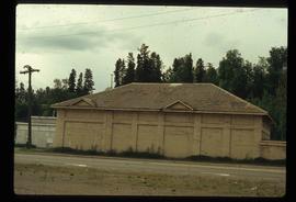
Image depicts Brunswick Street at 3rd Ave in -35 degree weather. Map coordinates 53°55'03.0"N 122°44'51.7"W
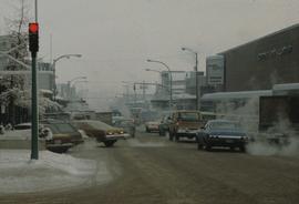
Image depicts 3rd Ave at Brunswick Street in -35 degree weather. Map coordinates 53°55'03.0"N 122°44'51.7"W
Subseries consists of material collected and created by Kent Sedgwick for research regarding various areas within Prince George. These files include material on neighbourhoods and notable areas within the city, as well as the Regional District of Fraser-Fort George. Notable areas include the Fort George Canyon, downtown Prince George, and Cottonwood Island. The files primarily contain notes and newspaper clippings relating to the development and history of these areas.
Subseries consists of material collected and created by Kent Sedgwick for research regarding schools in Prince George and area, as well as materials relating to Kent Sedgwick's involvement with the Prince George Retired Teacher's Association. Files primarily consist of notes regarding the location and history of various schools in and surrounding Prince George and photographs depicting historic school buildings. The research on schools aided the development of a history of schools for the Prince George Retired Teachers' Association.
File consists of clippings, notes, and reproductions relating to architects working in Prince George. Includes the following clipped articles from the Prince George Citizen newspaper: "Paul Zanette: Designs for life" (July 2010) and "Look of city nothing to brag about" (Nov. 1989).
Item is an original 1976 map depicting Prince George, published by the Province of British Columbia Ministry of the Environment.
Item is an original 1967 map depicting Prince George in British Columbia, published by the British Columbia Department of Lands, Forests and Water Resources. Map includes pen markings.
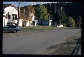
Image depicts an uncertain street in Prince George, B.C.
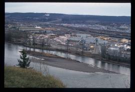
Image depicts a sawmill in Prince George, B.C.
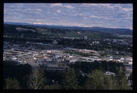
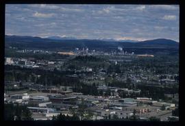
Image depicts Prince George, with the picture looking North-Northeast from University Way.
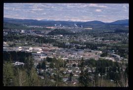
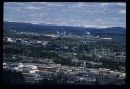
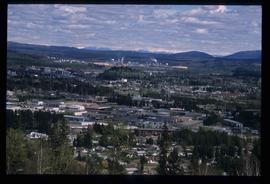
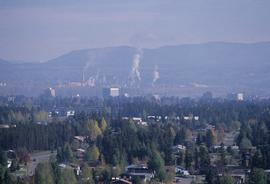
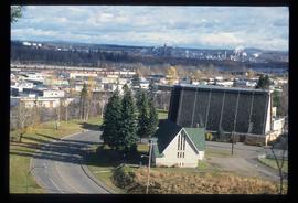
Image depicts Prince George from University Way, with the P.G.I pulp mill in the distance.
Image depicts Prince George from University Way, with the P.G.I. Pulp Mill in the distance.
Image depicts Prince George from University Way, with the P.G.I. Pulp Mill in the distance.
Image depicts Prince George from University Way, with the P.G.I. Pulp Mill in the distance.
Image depicts a view of Prince George from City Hall looking northeast along George Street. Map coordinates 53°54'46.3"N 122°44'41.9"W
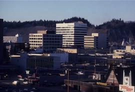
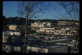
Image depicts downtown Prince George looking northwest. Map coordinates 53°54'48.7"N 122°44'45.6"W
Image depicts a view of Prince George from City Hall looking northeast along George Street. Map coordinates 53°54'46.3"N 122°44'41.9"W
Image depicts Prince George, possibly with the Northwood Pulpmill in the background.
Image depicts Prince George, possibly with the Northwood Pulpmill in the background.
Image depicts a view of Prince George from an uncertain location.
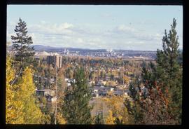
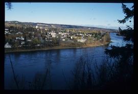
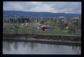
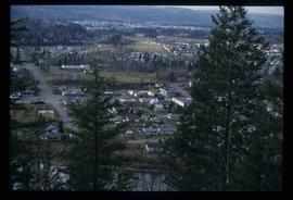
Image depicts a view of Prince George.
Image depicts a view of Prince George.
Image depicts a view of Prince George.
Image depicts Prince George, B.C.
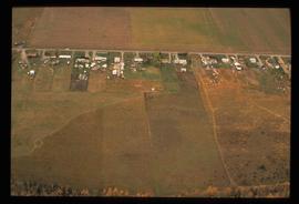
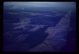
Image depicts an aerial view of what is possibly an outlying area of Prince George, B.C.
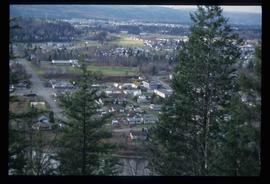
Image depicts a view of Prince George.
Image depicts downtown Prince George looking northwest across Dominion Street. Map coordinates 53°54'48.7"N 122°44'45.6"W
Image depicts Prince George, possibly with the Northwood Pulpmill in the background.
Image depicts Prince George with numerous trees obscuring most of the view.
Image depicts Prince George.
Image depicts a view of Prince George.
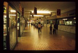
Image depicts the interior of a mall in Prince Rupert, B.C. It is possibly the Pride O' the North shopping mall.
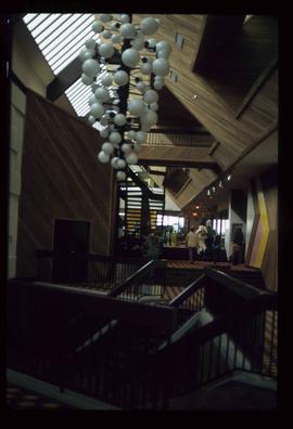
Image depicts the interior of the Pride O' the North shopping mall in Prince Rupert, B.C.
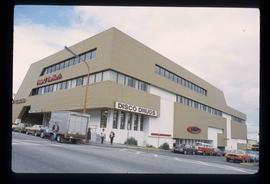
Image depicts the Pride O' the North shopping mall in Prince Rupert, B.C.
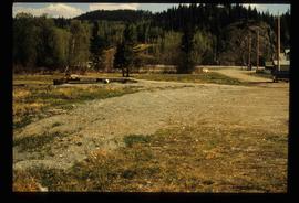
Previous site of sawmill in Giscome, B.C. looking northwest. Map coordinates 54°04'19.7"N 122°22'04.7"W
File contains slides depicting scenery at various locations.
File consists of notes and clippings relating to a presentation on the Millar Addition by Kent Sedgwick. Also includes "Please join us as we celebrate Heritage Week 2000!" printed invitation (26 Feb. 2000).
The item is a photograph depicting a crowd from the BC Historical Federation outside listening to a presentation by Kent Sedgwick and Greg Halseth. The presentation is at one of the East Line communities.
The item is a photograph depicting a crowd from the BC Historical Federation outside listening to a presentation by Kent Sedgwick and Greg Halseth. The presentation is at one of the East Line communities.
Item is an original 1919 pre-emptor's map of Tete Jaune, published by the British Columbia Department of Lands.
Item is an original 1935 pre-emptor's map of Quesnel, published by the British Columbia Department of Lands.
Item is a photocopied 1949 pre-emptor's map of Fort George, published by the British Columbia Department of Lands.
Item is an original 1943 pre-emptor's map of Fort George, published by the British Columbia Department of Lands.
Item is a photocopied 1930 pre-emptor's map of Fort George, published by the British Columbia Department of Lands.
Item is a photocopied 1930 pre-emptor's map of Fort George, published by the British Columbia Department of Lands.
Item is a photocopied 1923 pre-emptor's map of Fort George, published by the British Columbia Department of Lands.
Item is a photocopied 1915 pre-emptor's map of Fort George, published by the British Columbia Department of Lands.
File consists of notes and reproductions relating to pre-emption crown land grants between 1869 until 1912 in British Columbia, primarily in Prince George. File primarily consists of printed copies of pre-emptor maps of Prince George and region from the Royal BC Archives and Museum.
Image depicts power lines east of the pulp mills in Prince George, B.C.
Image depicts a powerhouse in Prince George, B.C.
