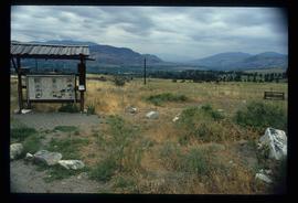
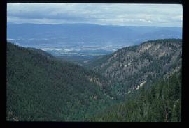
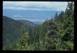
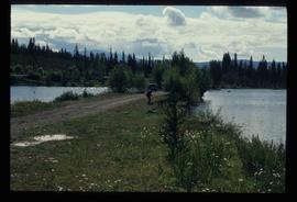
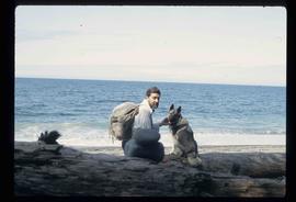
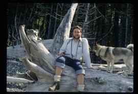
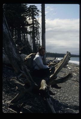
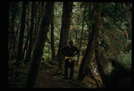
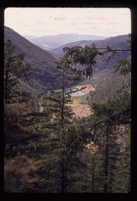
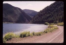
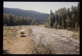
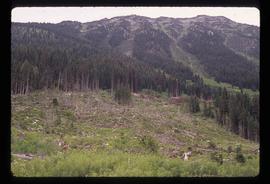
2012.13.1.29.05
·
Item
·
1991
Part of J. Kent Sedgwick fonds
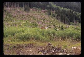
Image depicts a woman walking along a trail somewhere in Kettle Valley, B.C.