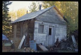
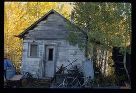
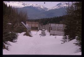
Image depicts the teacherage for the Salmon School, located in the Prince George vicinity.
Image depicts the teacherage for the Salmon School, located in the Prince George vicinity.
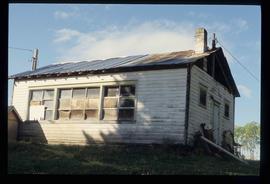
Image depicts the Salmon School in the Prince George vicinity.
Item is an original 1983 map depicting Salmon River in British Columbia, published by the Province of British Columbia Ministry of Environment. The map includes pen and pencil annotations.
File consists of notes and reproductions relating to Salmon River Portage surveys.
File consists of photographs depicting the Salmon River Portage. Includes depictions of potential past mill sites, overgrown fields, and derelict buildings.
File consists of notes relating to the Salmon River Portage. Includes an audiocassette entitled "Wilf Erickson RE: Salmon Portage" (Sept. 2001) and "Notes from taped interview Wilf & Mary Erickson" typed notes (14 Sept. 2001).
File consists of maps depicting the Salmon River Portage area.
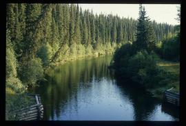
Image depicts the Salmon River by Fraser Lake.
File consists of notes, clippings, and reproductions relating to Salmon River.
The item is a map depicting the Salmon Portage area along the Salmon River. Various annotations are written in pen and sections of the map are coloured with pencil crayon. The Forest Cover Map identification number is 93J.027.
The item is a map depicting the Salmon Portage area along the Salmon River. Various annotations are written in pen and sections of the map are coloured with pencil crayon. The Forest Cover Map identification number is 93J.027.
The item is a map depicting the Salmon Portage area along the Salmon River. Various annotations are written in pen and sections of the map are coloured with pencil crayon. The Forest Cover Map identification number is 93J.026.
The item is a map depicting the Salmon Portage area along the Salmon River. Various annotations are written in pen and sections of the map are coloured with pencil crayon. The Forest Cover Map identification number is 93J.026.
The item is a photograph depicting a stained-glass window from the church at Indian Reserve No. 2 in Shelley. The window is titled "Saint Peter" and depicts a saint holding keys and a scroll.
The item is a photograph depicting a stained-glass window from the church at Indian Reserve No. 2 in Shelley. The window is titled "Saint Peter" and depicts a saint holding keys and a scroll.
The item is a photograph depicting a stained-glass window from the church at Indian Reserve No. 2 in Shelley. The window is titled "Saint Peter" and depicts a saint holding keys and a scroll.
The item is a photograph depicting a stained-glass window from the church at Indian Reserve No. 2 in Shelley. The window is titled "Saint Paul" and depicts a saint holding a sword.
The item is a photograph depicting a stained-glass window from the church at Indian Reserve No. 2 in Shelley. The window is titled "Saint Paul" and depicts a saint holding a sword.
The item is a photograph depicting a stained-glass window from the church at Indian Reserve No. 2 in Shelley. The window is titled "Saint Nicholas" and depicts a saint holding a staff and three golden balls.
The item is a photograph depicting a stained-glass window from the church at Indian Reserve No. 2 in Shelley. The window is titled "Saint Nicholas" and depicts a saint holding a staff and three golden balls.
The item is a photograph depicting a stained-glass window from the church at Indian Reserve No. 2 in Shelley. The window is titled "Saint Joseph" and depicts a saint holding an olive branch.
The item is a photograph depicting a stained-glass window from the church at Indian Reserve No. 2 in Shelley. The window is titled "Saint Joseph" and depicts a saint holding an olive branch.
The item is a photograph depicting a stained-glass window from the church at Indian Reserve No. 2 in Shelley. The window is titled "Saint John" and depicts a saint holding a chalice and a book.
The item is a photograph depicting a stained-glass window from the church at Indian Reserve No. 2 in Shelley. The window is titled "Saint John" and depicts a saint holding a chalice and a book.
The item is a photograph depicting a stained-glass window from the church at Indian Reserve No. 2 in Shelley. The window is titled "Saint Agnes" and depicts a saint holding an olive branch and a lamb.
The item is a photograph depicting a stained-glass window from the church at Indian Reserve No. 2 in Shelley. The window is titled "Saint Agnes" and depicts a saint holding a lamb and an olive branch.
The item is a photograph of the front and side of Sacred Heart Catholic Cathedral at 887 Patricia Boulevard, Prince George.
The item is a photograph depicting a workshop in the rural Prince George area.
The item is a 35 mm photograph depicting a workshop in the rural Prince George area.
File consists of notes, clippings, and reproductions relating to rural schools in the Prince George region. Includes photographs depicting the first and second school buildings for the North Nechako school; one was sold and the other has been closed (2005).
The item is a photograph slide reproduction depicting a flooded river, road and bridge outside Prince George.
File contains slides depicting Runnalls.
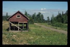
Image depicts a small, ruined shed somewhere in the Okanagan Kettle Valley.
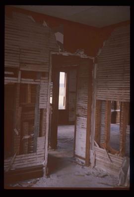
Image depicts the ruined interior of a mansion at an unknown location.
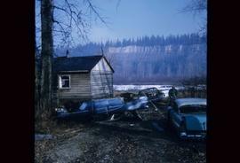
Image depicts several old, ruined cars and an unknown individual in Island Cache.
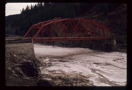
Image depicts a small foot bridge at an unknown location. The slide is simply labelled "Rudi's Bridge."
The item is a CD-R containing 18 Tiff images of plans for Hatley Park. The files take up 139 mb on the CD-R.
File consists of notes and reproductions relating to the Royal Engineers and Henry Spencer Palmer, a British Army military engineer and surveyor. Henry Spencer Palmer was sent to British Columbia and completed a report in 1863 on Wiliams Lake, the Caribou Districts, and the Fraser River from Fort Alexandria to Fort George. File primarily consists of Kent Sedgwick's handwritten notes on Henry Palmer and his work in British Columbia.
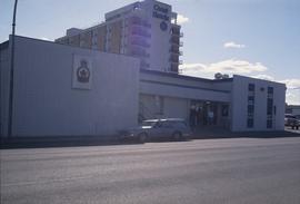
Image depicts the Royal Canadian Legion building on 7th Ave and the Inn of the North Coast Hotel in the background. Map coordinates 53°54'50.6"N 122°44'56.1"W
File consists of notes and reproductions relating to Roy Spurr. Roy Spurr was a one of the original owners and managers of the Eagle Lake Sawmill in Giscome. He also owned and ran the Giscome Farm Ltd. company with its subsidiary Northern Dairies Ltd.
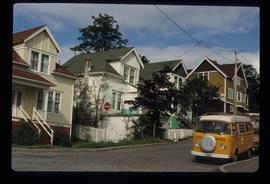
Image depicts two rows of houses in an unknown location.
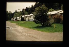
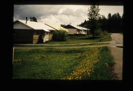
Image depicts a row of houses in Upper Fraser, B.C. Map coordinates 54°06'51.6"N 121°56'26.3"W
Image depicts a row of houses in Upper Fraser, B.C. Map coordinates 54°06'51.6"N 121°56'26.3"W
Image depicts a row of houses; it is possibly in Prince Rupert, B.C.
Photograph depicts Rosel's restaurant at 1624 7th Avenue. Rosel's restaurant was owned and operated by Wilfred and Rosel Vogt from 1981 to 1997. The building was built in 1916 and was originally owned by Dr. Carl Ewart and later owned by Hubert King of Wilson, King and Company, the oldest law firm in Prince George, after 1946. The building is now a designated heritage building.
The item is a DVD-R containing two video files taking up a total of 2GB.
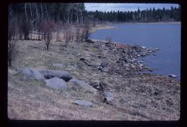
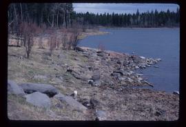
Image depicts the rocky shore of an unidentified body of water, possibly near Meldrum Creek, B.C.
Image depicts the rocky shore of an unidentified body of water, possibly near Meldrum Creek, B.C.
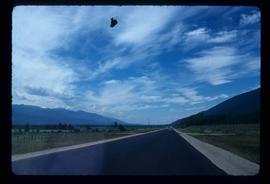
Image depicts a view of the Rocky Mountain Trench somewhere near McBride, B.C.
