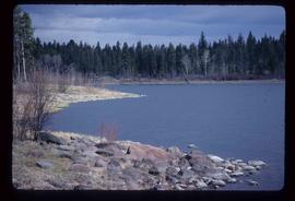
2012.13.1.62.26
·
Item
·
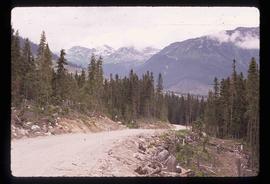
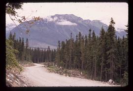
June 1978
Part of J. Kent Sedgwick fonds
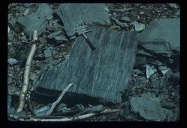
Image depicts phyllite, a type of metamorphic rock, on the north shore of Takla Lake.