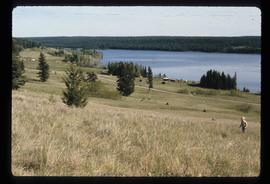
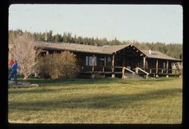
File contains slides depicting Chemanus, B.C.
File contains slides depicting images of Cheslatta from 1991
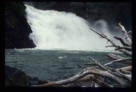
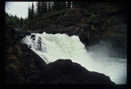
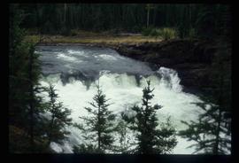
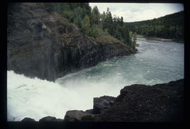
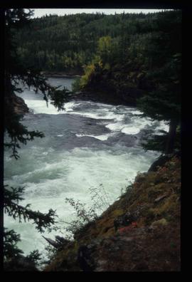
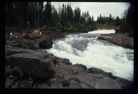
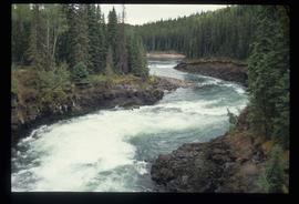
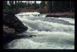
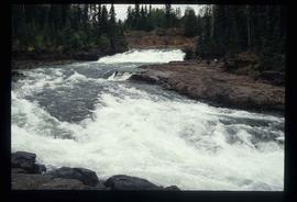
Image depicts the Cheslatta Falls.
Image depicts the Cheslatta Falls.
Image depicts the Cheslatta Falls.
Image depicts the Cheslatta Falls.
Image depicts the Cheslatta Falls.
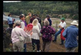
Image depicts what appears to be a tour group at Cheslatta.
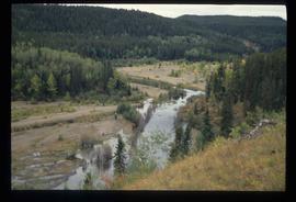
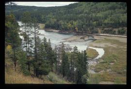
Image depicts the Cheslatta River.
Image depicts the Cheslatta River.
Image depicts the Cheslatta River.
Image depicts the Cheslatta River.
Image depicts the Cheslatta River.
Image depicts the Cheslatta River.
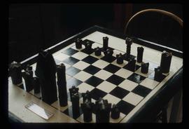
Image depicts an old, and seemingly incomplete chess set somewhere in Wells, B.C.
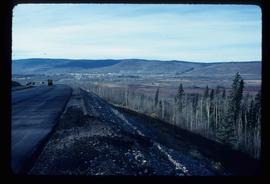
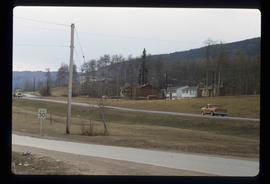
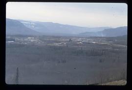
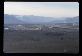
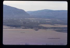
Image depicts a view of Chetwynd, possibly from Highway 97.
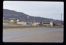
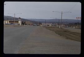
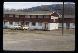
Image depicts a Chevron station as well as two motels in Chetwynd, B.C.
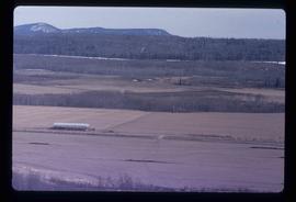
Image depicts a view of some farm land in Chetwynd, B.C.
Image depicts several houses in Chetwynd, B.C.
Image depicts several businesses in a small section of Chetwynd, B.C. There is a motor hotel and a half-visible sign for an Esso gas station.
Image depicts a view of a saw mill in Chetwynd, B.C.
Image depicts a view of a saw mill in Chetwynd, B.C.
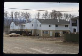
Image depicts a number of townhouses in Chetwynd, B.C.
Image depicts a number of townhouses in Chetwynd, B.C.
Image depicts a view of a train passing through an area of Chetwynd, B.C.
File consists of notes, clippings, and reproductions relating to Chilako River and Indian Reserve No. 4. File contains material regarding the discovery of Indigenous artifacts in an archaeological dig by faculty and students from the University of Northern British Columbia; the establishment of a fur trading fort at Chala-oo-chick for the Hudson's Bay Company; and Indian Reserve No. 4 of the L'heidli T'enneh. Includes photographs depicting Fernie Ollinger's barn on Chilako Station Road and Chilako River (2006).
Item is an original 1950 pre-emptor's map of the Chilcotin region, published by the British Columbia Department of Lands and Forests.
File consists of notes, clippings, and reproductions relating to the Chilcotin region. Includes: "CNC Outdoors Club Trip to Farewell Canyon" poster (Nov. 1973).
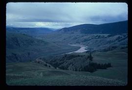
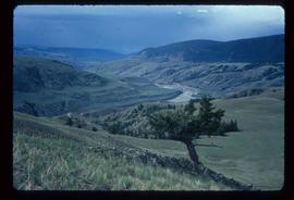
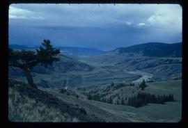
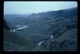
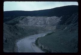
Image depicts what is possibly the Chilcotin River.
Image depicts what is possibly the Chilcotin River.
Image depicts what is possibly the Chilcotin River.
Image depicts what is possibly the Chilcotin River.
Image depicts what is possibly the Chilcotin River.
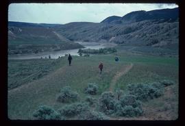
Image depicts a group of hikers hiking towards what is possibly the Chilcotin River.
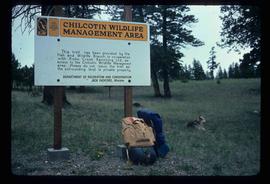
Image depicts a sign titled "Chilcotin Wildlife Management Area" somewhere near Riske Creek, B.C. It reads: "This trail has been provided by the Fish and Wildlife Branch in co-operation with Riske Creek Ranching Ltd., as access to the Chilcotin Wildlife Management Area. Please do not leave the the trail as the surrounding land is private property."
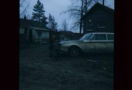
Image depicts two children standing near an old car in Island Cache.
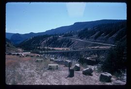
Image depicts a bridge over the Fraser River, located at Chimney Creek, somewhere south-west of Williams Lake, B.C.
Image depicts Chimney lake with a number of houses near the shore, and a child in the foreground.
Image depicts the Chimney Lake Lodge.
File consists of notes, clippings, and reproductions relating to the history of Chinese people in British Columbia. Includes material on Ahbau Creek, named after a Chinese miner; the Chee Kung Tong building in Barkerville; Chinese involvement in the Fraser Valley gold rush; and the Prince George Chinese Freemasons Society. Includes: "Chinese Cemeteries and Grave Markers in B.C.: A Research Guide" a printed article by Judy Maxwell (2007); "Chee Kung Tong Building, Barkerville, British Columbia" clipped article from The Journal of the Society for the Study of Architecture in Canada by Norman Shields (2008); and "Chinese roots" clipped article from the Prince George Citizen newspaper (2008).
This item is a photograph of Dr. D. G. Wheatcroft Chiropractors, Happy Scrappers and the Law Office of Brian Gilson, George Leven, and Jason LeBlond.
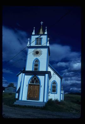
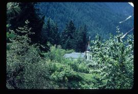
Image depicts a church, somewhere between Hazelton and Hagwilget, B.C.
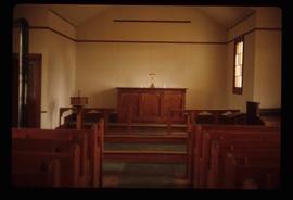
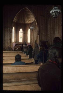
Image depicts the interior of a church, most likely St. Mark's Anglican Church in Woodpecker, B.C.
Image depicts the interior of a church, possibly one in or near Barkerville, B.C.
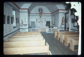
Image depicts the interior of a church, likely in Fort St. James, B.C.
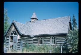
Image depicts a church located near Mapes, B.C.
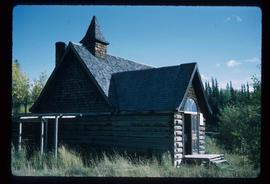
Image depicts a church located near Mapes, B.C.
Image depicts a church on a hill somewhere in Seton Portage, B.C.
The item is a photograph of the CIBC Banking Centre on 3rd Avenue in Prince George.
Item is an original 1996 folding brochure map depicting circle tours in the Prince George area. The map was published by the Prince George Region Development Corporation.
