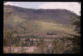
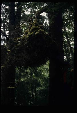
Image depicts a view of Takla Lake, "looking north-west."
Image depicts a view of Takla Lake.
Image depicts several individuals walking on a trail somewhere near Raven Peak.
Image depicts four individuals canoeing on Lanezi Lake.
Image depicts two individuals canoeing on Lanezi Lake.
Image depicts an unknown individual in a canoe on Indianpoint Lake.
Image depicts Haida Gwaii.
Image depicts a bridge over the Omineca River near Germansen Landing, B.C.
Image depicts an old trestle along the White Pass railway.
Image depicts an old trestle along the White Pass railway, and the White pass Train on the left of the image.
Image depicts an old slump type of landslide. The slide labels it as being near "McAlister."
Image decpicts the old road to the townsite in Giscome, B.C. Map coordinates 54°04'19.7"N 122°22'04.7"W
Image depicts what appears to be an old mill at an unknown location.
Image depicts an old house missing windows and doors in the foreground, and a bunkhouse in the background, in Sinclair Mills, B.C. Map coordinates 54°01'17.4"N 121°40'53.0"W
Image depicts an old house in Penny and a woman, possibly Sue Sedgwick, standing in front of it. The location is uncertain.
Image depicts an old house with a torn up roof. The location is uncertain.
Image depicts an old house missing windows and doors at an uncertain location.
Image depicts an old, boarded up hotel in Stewart, B.C.
Image depicts Sue Sedgwick and a dog standing next to an old, collapsing cabin which is sloped sideways. The location is uncertain.
Image depicts an old, collapsing cabin which is sloped sideways. The location is uncertain.
Image depicts an old cabin in the woods at an uncertain location.
Image depicts a couple of old buildings, and a field full of tree trunks and dead wood. Located somewhere in or around the Upper Fraser Canyon.
Image depicts several old buildings at an uncertain location. The slide is simply labelled "Spring house?"
Image depicts several old buildings. The location is uncertain.
Image depicts an old beehive burner at an uncertain location.
Image depicts a view of Old Aiyansh.
Image depicts an old, abandoned church located somewhere in Seton Portage, B.C.
Image depicts an old abandoned cabin at an uncertain location.
File contains slides depicting the Okanagan Kettle Valley.
File contains slides depicting the Okanagan Brigade Trail.
Image depicts an oddly shaped tree branch that appears to have grown downwards, and is covered in green, mossy growths. Located somewhere on Haida Gwaii.
Image depicts the Oblates of Mary Immaculate Catholic Church in Aleza Lake, B.C. Map coordinates 54°07'08.2"N 122°02'00.0"W
Image depicts the office at the Northwood Upper Fraser Saw Mill and a sign which reads "Have a safe, quality day." Map coordinates 54.117916, -121.943351
Image depicts the Northwood Pulpmill in Prince George, B.C. taken from above the Nechako River looking east. Map coordinates 53°56'00.0"N 122°44'29.7"W
File consists of notes and reproductions relating to "Northern Approaches to New Caledonia" lecture conducted by Kent Sedgwick, relating to the article he wrote on "Crossing the Divide: Northern Approaches to New Caledonia". File predominantly contains Kent Sedgwick's handwritten notes and notes and transparent sheets of film depicting various maps of northern British Columbia. File also contains photographs depicting various maps (Oct. 2002).
Item is an original 1980 map depicting travel and recreation across northwestern British Columbia, published by the Canadian Cartographers Ltd. in Coquitlam, BC.
File contains slides depicting areas along the North Thompson Highway.