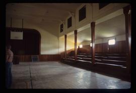
The photograph depicts the ceiling and support beam at the interior of the CN roundhouse in Prince George, BC. Reproduction of photograph from 1984.
Photograph depicts Celia M Dusseau's grave stone in the Soda Creek Cemetery.
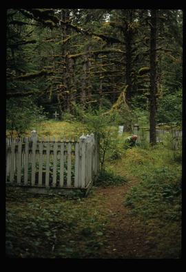
Image depicts an individual crouching in an old cemetery located somewhere in the coastal forest on Haida Gwaii, B.C.
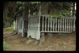
Image depicts the Barkerville Cemetery.
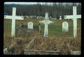
Image depicts a cemetery at an uncertain location, possibly in Fort St. James, B.C.
File consists of clippings, notes, and reproductions relating to the census boundaries across Canada. Also includes a map entitled "Canada: Federal Electoral Districts - 1987".
File consists of clippings and notes on population data and census in the city of Prince George and the surrounding region. Includes the following clipped articles from the Prince George Citizen newspaper: "City is still a spring chicken: UNBC professor"; "Nation's lifeblood flows from overseas: Census data shows immigration fueling Canada's G8-leading growth" (2006); "Students could skew numbers" (14 Mar. 2007); "Census finds fewer residents" (14 Mar. 2007); "Aboriginal Population up in Prince George" (22 Jan. 2003); and "Population declining" (13 Mar. 2002). Also includes printed graphs entitled "Prince George Population Pyramid 1981 Census" (1981) and "Municipal population based on 1986 Census" (1988).
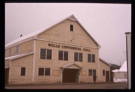
Image depicts the Centennial Hall in Wells, B.C.
Image depicts the interior of the Centennial Hall in Wells, B.C.
File contains slides depicting places in, around, and near Prince George, B.C.
File consists of notes, clippings, and reproductions relating to historical and contemporary natural resource surveys in British Columbia. Includes material on oil discovery, farming conditions, timber stands, the Alaskan Highway, and railway development. File predominantly consists of search results from the University of Northern British Columbia library, College of New Caledonia library, and Prince George Public Library regarding British Columbia's natural resource surveying.
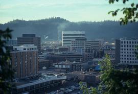
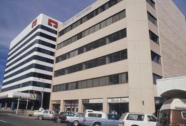
Image depicts the Central Business District of Prince George looking north from Connaught Hill. Map coordinates 53°54'41.4"N 122°44'58.5"W
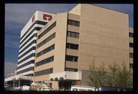
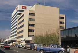
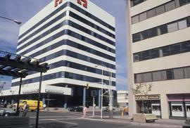
Image depicts 3rd Ave at Victoria St. Map coordinates 53°55'03.9"N 122°44'54.8"W
Image depicts 3rd Ave at Victoria St. Map coordinates 53°55'03.9"N 122°44'54.8"W
Image depicts 3rd Ave at Victoria St. Map coordinates 53°55'03.9"N 122°44'54.8"W
Image depicts 3rd Ave at Victoria St. Map coordinates 53°55'03.9"N 122°44'54.8"W
File consists of clippings, notes, and reproductions relating to the central business district of Prince George. Includes: "Tours of downtown" pamphlet from the Prince George Public Library (6 July 2006); "Mr. P.G. says welcome to the city of Prince George" promotional map from the City of Prince George and drawn by H. Kettner (1966); "Re: Pcl. A (Lots 19-20)" typescript letter from BC Rail to Kent Sedgwick (2 Dec. 1987); "Prince George Public Library" letter from Tom Dielissen at the Prince George Public Library to Kent Sedgwick (2 July 1997); "Town Centre Historical Project" letter to the Mayor and Council of Prince George from Daniel Guerrette (16 July 1981); and "Historical continuity and the proposed town centre" typescript document submitted to City Council from the Heritage Advisory Committee (July 1981). File also includes photographs depicting the industrial area of Prince George (1987).
File consists of notes, clippings, and reproductions relating to the Central Fort George Elementary School. Also includes photographs depicting the Central Fort George School prior to its demolition (2004).
The item is a map that depicts lot plans for the Central Fort George townsite. Reproduction of map originally produced in 1938.
The item is a photograph depicting the front exterior side of Central Fort George School prior to demolition in 2004. The windows are boarded up.
The item is a photograph depicting the front exterior side of Central Fort George School prior to demolition in 2004. The windows are boarded up.
The item is a photograph depicting the front exterior of Central Fort George School prior to demolition in 2004.
The item is a photograph depicting the front exterior of Central Fort George School and an adjacent house prior to demolition in 2004.
The item is a photograph depicting the front exterior of Central Fort George School prior to demolition in 2004.
The item is a photograph depicting the front exterior side of Central Fort George School prior to demolition in 2004. The windows are boarded up.
The item is a photograph depicting the front exterior side of Central Fort George School prior to demolition in 2004. The windows are boarded up.
The item is a photograph depicting the front exterior of Central Fort George School prior to demolition in 2004.
The item is a photograph depicting the front exterior of Central Fort George School and an adjacent house prior to demolition in 2004.
The item is a photograph depicting the front exterior of Central Fort George School prior to demolition in 2004.
The item is a photograph depicting the front exterior of Central Fort George School and an adjacent house prior to demolition in 2004.
The item is a photograph depicting the front exterior of Central Fort George School and an adjacent house prior to demolition in 2004.
The item is a photograph depicting the front exterior of Central Fort George School and an adjacent house prior to demolition in 2004.
The item is a photograph depicting the front exterior of Central Fort George School and an adjacent house prior to demolition in 2004.
The item is a photograph depicting the front exterior side of Central Fort George School prior to demolition in 2004. The windows are boarded up. Annotation on reverse side of photograph states, "Central Ft Geo school just before demo summer 2004."
The item is a photograph depicting the front exterior side of Central Fort George School prior to demolition in 2004. The windows are boarded up.
The item is a photograph depicting the exterior of Central Fort George School from the court prior to demolition in 2004. The windows are boarded up.
The item is a photograph depicting the exterior of Central Fort George School from the court prior to demolition in 2004. The windows are boarded up.
File consists of clippings, notes, and reproductions relating to the Central Fort George townsite. File predominantly includes Kent Sedgwick's handwritten notes regarding land plots and development of Central Fort George. Includes: a map depicting Canadian National Railway plans along Hammond Street and the Fraser River (1936) and "Central Fort George lots" map depicting lot plans for the Central Fort George townsite (reproduced 1990).
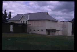
Image depicts an old, boarded up school, possibly the Central Fort George Traditional School in Prince George, B.C.
File consists of notes, clippings, and reproductions relating to bibliographic references about the central interior of British Columbia. Includes: "Pioneers of the Central Interior" pamphlet from the Prince George Public Library (Nov. 1986) and "Manitoba Department of Tourism and Cultural Affairs" typescript letter from Shirlee Anne Smith to Frank Leonard (9 May 1980).
The item is a business focused newspaper from Central Interior Business focusing on business and economics in the central interior British Columbia.
File consists of notes, clippings, and reproductions relating to British Columbia's central interior forestry industry. Includes material regarding beehive burners; economic viability of timber in Prince George, Quesnel, Burns Lake, and Houston; the Canfor pulp mill in Prince George; and Carrier Lumber Ltd. mill in Prince George. File primarily consists of clipped articles from the Prince George Citizen newspaper, including "Forest Expo 2004" special edition of the Prince George Citizen newspaper (1 June 2004).
File contains slides that reproduce historical photographs of Indigenous peoples of Central Interior, as well as maps.
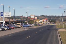
Image depicts Central Street West, parallel to Highway 97 in Prince George, B.C. looking north. Shown: Prince George Motors and other car dealerships, Burger King, Grama's Inn, and the Spruceland Shopping Mall sign. Map coordinates 53°54'42.1"N 122°46'53.1"W
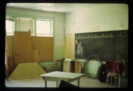
Image depicts a snowman drawn on the chalkboard of what appears to be an unused school, possibly in Lamming Mills, B.C. The slide is labelled "note board school."
File consists of notes, clippings, and reproductions relating to Charles Millar and the Millar Addition in Prince George.
The item is a photograph depicting the top left corner of the Buckhorn Parent-Teacher Association Charter affiliated with the British Columbia Parent-Teacher Federation. The charter contains a list of the members. Annotation on reverse side of photograph states, "1956." The second annotation is crossed out and states, "1956."
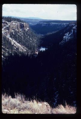
Image depicts a chasm full of trees at an unknown location.
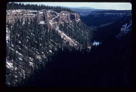
Image depicts a chasm full of trees at an unknown location.
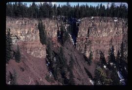
Image depicts the wall of a chasm full of trees at an unknown location.
