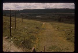
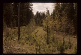
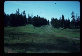
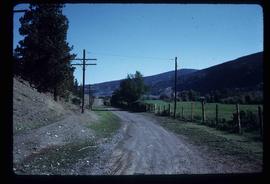
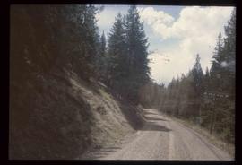
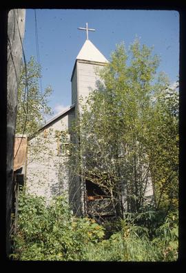
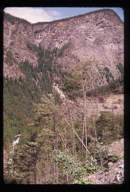
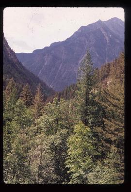
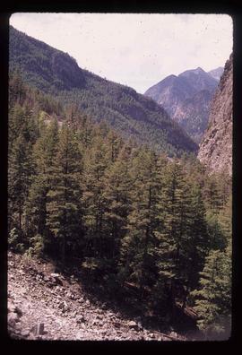
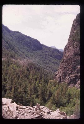
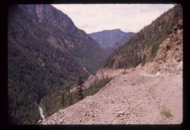
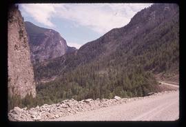
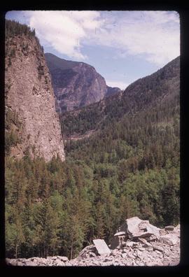
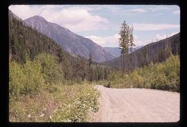
Image depicts the old, grown-over Cariboo Road at an uncertain location.
Image depicts the old, grown-over Cariboo Road at an uncertain location.
File consists of notes and clippings relating to the Cariboo Road. The Cariboo Road (also called the Cariboo Wagon Road, the Great North Road or the Queen's Highway) was a project initiated in 1860 by the Governor of the Colony of British Columbia, James Douglas. The road stretched from Fort Yale to Barkerville, B.C. through hazardous canyon territory in the Interior of British Columbia.
Image depicts the Cariboo Road south of Williams Lake.
Image depicts the Cariboo Road at Hat Creek Ranch, near Highway 99 on the way to Lillooet.
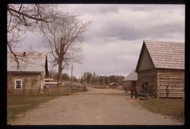
Image depicts the Cariboo Road passing through the Cottonwood House Historic Site.
Image depicts the Cariboo Road in Soda Creek, B.C.
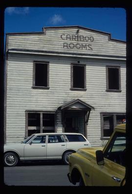
Image depicts an old, boarded up building labelled as "Cariboo Rooms" in Wells, B.C.
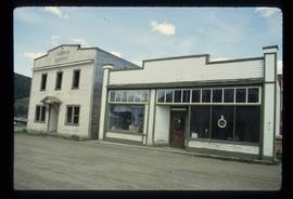
Image depicts the abandoned Cariboo Rooms, and a liquor store in Wells, B.C.
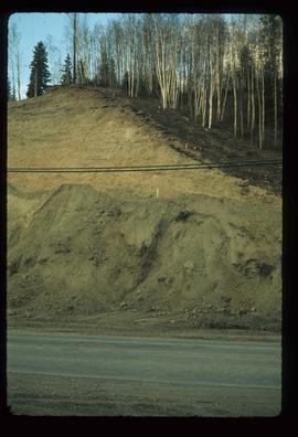
Image depicts a small slope on Carney Hill in Prince George, B.C.
Image depicts miocene gravels on Carney Hill in Prince George, B.C.
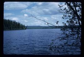
Image depicts Carp Lake.
Image depicts two boats on the shore of Carp Lake.
Image depicts two boats on the shore of Carp Lake.
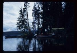
Image depicts a campsite on the shore of Carp Lake.
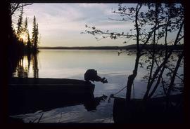
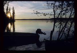
Image depicts Carp Lake at dusk.
Image depicts Carp Lake at dusk.
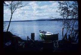
Image depicts a green canoe sitting in the water on the shore of Carp Lake.
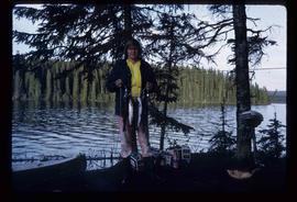
Image depicts a man holding a chain of fish on the shore of Carp Lake.
Image depicts a low rain cloud over Carp Lake.
Image depicts a low rain cloud over Carp Lake.
Image depicts a low rain cloud over Carp Lake, and a man on a boat on the lake.
File consists of a typescript report in a duotang titled "Carp Lake Park Report: 1973" by Leon E. Pavlick.
File contains slides depicting images of areas in the Carp Lake Provincial Park.
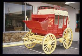
Image depicts a red carriage labelled in yellow "B.C. Express Co. No. 20." It is possibly located in Kamloops, B.C.
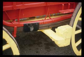
Image depicts a close-up of the carriage step. It is possibly located in Kamloops, B.C.
File consists of notes and a reproduced map relating to Carrier Lake in the Omineca region, 35 km east from Fort St. James.
The item depicts plans for the interior basement, main floor, second floor and the roof of the Carter House at 1850 10th Avenue, Prince George. Original plans drafted in April 1979 and approved by the city and stamped on 1 June 1979. Annotations include notations regarding scale and other measurements.
The item depicts plans for the exterior, longitudinal and transverse sections of the Carter house at 1850 10th Avenue, Prince George.
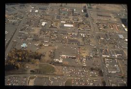
Image depicts the Carter Industrial Area in Prince George, B.C.
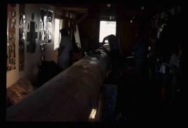
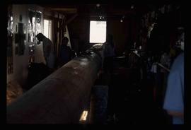
Image depicts several unidentified individuals inside a building, one of which is carving a totem pole. The location is uncertain.
Image depicts several unidentified individuals inside a building, one of which is carving a totem pole. The location is uncertain.
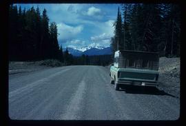
Image depicts a truck parked on the side of the Cassiar Highway.
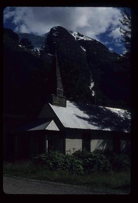
Image depicts a Catholic Church in Stewart, B.C.
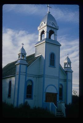
Image depicts a Catholic church at an unknown location.
Image depicts the Catholic Church in Penny, B.C.
File consists of notes, clippings, and reproductions relating to Catholic churches in Prince George. File consists of material on the Sacred Heart Catholic Church at 887 Patricia Boulevard in Prince George; St. Fredricks Catholic Church in Giscome; and St. Joseph's Chapel at 1088 Gillett Street in Prince George. File predominantly includes printed photographs from The Exploration Place Museum database depicting various catholic churches in Prince George; and "St Joseph's Church" printed email from the Prince George Diocese Archives to Kent Sedgwick (17 Mar. 2010). Also includes photographs depicting a house at the address 1705 Fir Street in Prince George (2006).
File contains slides depicting a caving group in various places in West Virgina, USA.
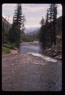
Image depicts Cayoosh Creek.
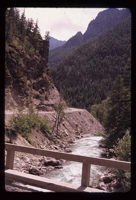
Image depicts Cayoosh Creek from a bridge in Cayoosh Valley.
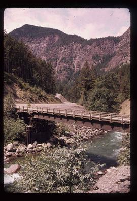
Image depicts a bridge over Cayoosh Creek.
Image depicts a view of the scenery surrounding Cayoosh Creek.
Image depicts a view of the scenery surrounding Cayoosh Creek.
Image depicts a view of the scenery surrounding Cayoosh Creek.
Image depicts a view of Cayoosh Valley.
Image depicts a view of Cayoosh Valley. Cayoosh Creek is visible in the bottom left corner of the image.
Image depicts Cayoosh Valley.
Image depicts Cayoosh Valley.
Image depicts a mountain side in Cayoosh Valley.
Image depicts a road in Cayoosh Valley.
