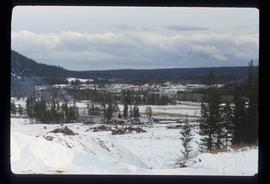
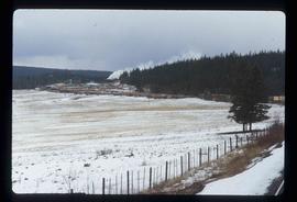
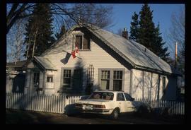
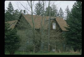
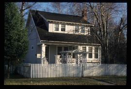
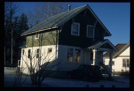
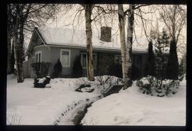
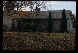
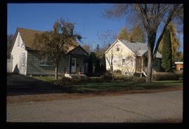
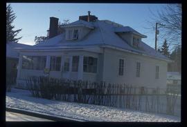
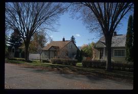
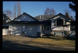
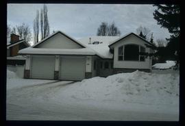
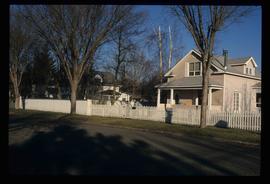
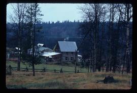
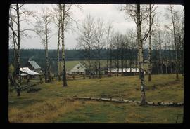
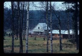
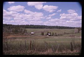
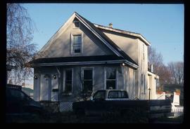
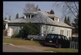
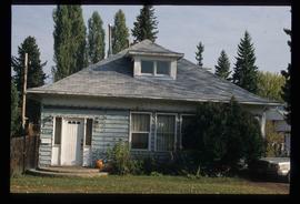
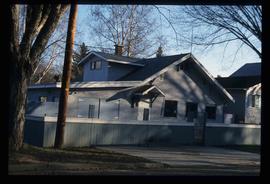
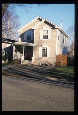
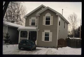
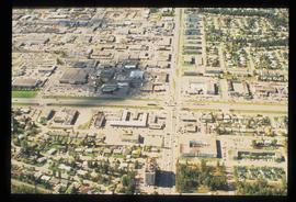
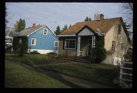
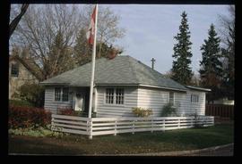
Image depicts 100 Mile House, B.C.
Image depicts what appears to be a sawmill at 100 Mile House, B.C.
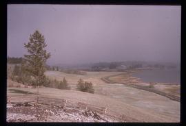
Image depicts 108 Mile Ranch, B.C.
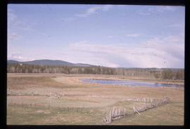
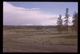
Image depicts a field and pond somewhere in 108 Mile Ranch, B.C.
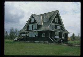
Image depicts the Watson Mansion at the 108 Mile Ranch. It burned down due to a chimney fire in 1983.
Image depicts the Watson Mansion in 108 Mile Ranch, B.C. It burned down in 1983 as the result of a chimney fire.
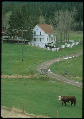
Image depicts the 132 Mile House Ranch.
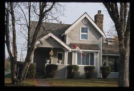
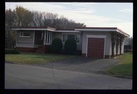
Image depicts 135 Patricia Boulevard in Prince George, B.C.
Image depicts 1354 Ingledew Street in Prince George, B.C.
Image depicts the 137 Mile House.
Image depicts 1386 Ingledew Street in Prince George, B.C.
Image depicts 1423 Ingledew in Prince George, B.C.
Image depicts 1425 Taylor Drive in Prince George, B.C.
Image depicts 1425 Taylor Drive in Prince George, B.C.
Image depicts some of the 1445 Elm Street and 1425 Elm Street houses in the Millar Addition neighbourhood of Prince George, B.C.
Image depicts 1461 Ingledew in Prince George, B.C.
Image depicts 1465 Elm Street, 1445 Elm Street, and 1425 Elm Street in the Millar Addition neighbourhood of Prince George, B.C.
Image depicts 1480 Birch Street in Prince George, B.C.
Image depicts 1480 Birch Street in Prince George, B.C.
Image depicts 1488 Gorse Street in Prince George, B.C.
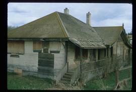
Image depicts an old government building, believed to have once housed the RCMP, in 150 Mile House, B.C.
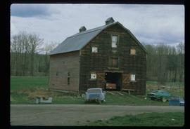
Image depicts the old RCMP barn at 150 Mile House, B.C.
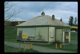
Image depicts the old school at 150 Mile House, with what is likely the modern school visible in the background.
Image depicts 1510 Fir Street in Prince George, B.C.
Image depicts 153 Mile House.
Image depicts 153 Mile House.
Image depicts the Crosina Store at 153 Mile House.
Image depicts a view of the property at 153 Mile House, near Quesnel, B.C.
Image depicts 1532 Fir Street in Prince George, B.C.
Image depicts 1566 Ingledew Street in Prince George, B.C.
Image depicts 1566 Ingledew Street in Prince George, B.C.
Image depicts 1590 Fir Street in Prince George, B.C.
Image depicts 1598 Fir Street in Prince George, B.C.
Image depicts 1598 Fir Street in Prince George, B.C.
Image depicts the intersection of 15th Ave and Highway 97 in Prince George, B.C.
Image depicts 1650 Dogwood Street and 1670 Dogwood Street in the Millar Addition neighbourhood in Prince George, B.C.
Image depicts 1690 Dogwood Street, on the corner of 17th Ave and Dogwood St. in Prince George, B.C. Also depicts a portion of 1670 Dogwood Street at left.
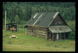
Image depicts an old log cabin at an uncertain location.
Image depicts a view of 3rd Avenue with the Columbus Hotel prior to the fire that destroyed it in 2008.
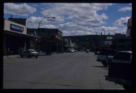
Image depicts the south side of 3rd Ave in Prince George, B.C.
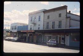
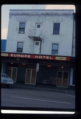
Image depicts the Europe Hotel on the south side of 3rd Ave in Prince George, B.C.
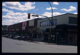
Image depicts a view of the corner of 3rd Avenue and Brunswick Street in Prince George, B.C.
Image depicts 411 Patricia Boulevard in Prince George, B.C.
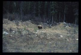
Image depicts a bear, possibly a grizzly. The location is uncertain.
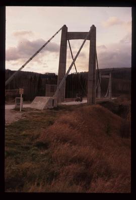
Image depicts a truck on a bridge, possibly crossing over the Peace River.
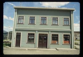
Image depicts a building somewhere in Wells, B.C. There is a sign in one window which reads "Lon Oddfrey Insurance Realty LTD."
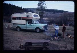
Image depicts a camper and a man and woman at an uncertain location, possibly somewhere near Meldrum Creek, B.C. The woman in the image is Sue Sedgwick.
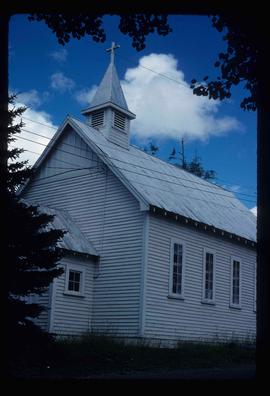
Image depicts a church in Wells, B.C.
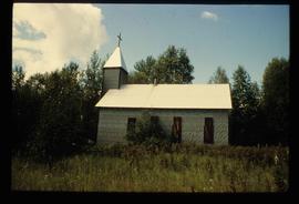
Image depicts a church at an uncertain location.
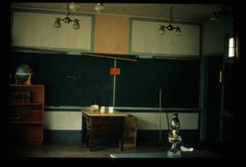
Image depicts the interior of a classroom at an uncertain location.
