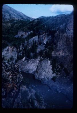
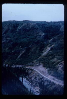
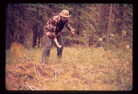
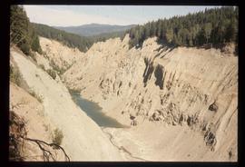
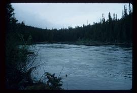
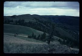
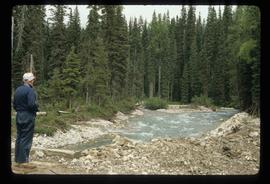
Image depicts a man, possibly Ted Faulkner, looking at a creek.
Image depicts what appears to be a teepee at an uncertain location.
Image depicts an old telegraph cabin at Cheslatta, B.C.
Image depicts the Telegraph Creek.
Image depicts a bridge over Telegraph Creek.
Image depicts a cliff face near Telegraph Creek.
Image depicts the Telegraph Creek.
Image depicts the Telegraph Creek Road, as well as the Creek itself.
Image depicts Telegraph Creek Road.
Image depicts Telegraph Road, south-west of Vanderhoof, B.C.
Image depicts a field along Telegraph Road, south-west of Vanderhoof, B.C.
Image depicts a man with the wire for the telegraph trail in an uncertain location.
Image depicts the Telkwa river in Telkwa, B.C.
Image depicts two bridges in Telkwa, B.C. One is for trains.
Image depicts a view of a lake that is near Telkwa, B.C. The slide is labelled as "Telkwa - McClure Lake," though it is possibly Tyhee Lake.
Image depicts several orange and blue tents, possibly somewhere near Riske Creek, B.C.
Image depicts a view of Terrace, B.C.
Image depicts a rail road bridge located somewhere near Terrace, B.C.
Image depicts the Terzaghi Dam viewed from the downstream side near Bralorne B.C.
Image depicts the Terzaghi Dam on the Bridge River, looking from the upstream (reservoir) side located near Bralorne, B.C. The water is Carpenter Lake.
Image depicts a collapsing shack somewhere near Tête Jaune Cache, B.C.
Image depicts a forest service cabin somewhere near Tête Jaune Cache, B.C.
Image depicts a vehicle on a gravel road somewhere near Tête Jaune Cache, B.C.
Image depicts the Bullion Pit in Likely, B.C. It is a man-made canyon from the days of the gold-rush, formed by the use of hydraulic monitors. The gold-mine operated from 1892 to 1942.
Image depicts a section of Isaac Lake which is apparently known as the "chute."
Image depicts three unidentified children standing in the doorway of a house, with two goats ascending the porch steps. The location is uncertain, likely Sinclair Mills, B.C.
Image depicts a view of the scenery, with three hikers in the bottom left corner of the image.
Image depicts three men and a dog on the hiking trail near Mt. Robson.
Image depicts three unknown individuals at a campsite.
Image depicts two individuals seated at a picnic table while a third stands closer to the water on a beach somewhere in Kitimat, B.C. What appears to be a harbour can be seen on the water.
Image depicts three individuals and three dogs standing by a stream at an uncertain location, possibly somewhere in Bear Glacier Provincial Park. The woman in purple is possibly Sue Sedgwick.
Image depicts three picnic tables, one of which is occupied with three unknown individuals, on a beach somewhere in Kitimat, B.C.
Image depicts a woman standing in a field, with a sign in a tree behind her pointing the way towards the Raven Cabin.
Image depicts an old tomb stone at an uncertain location, possibly Fort St. James, B.C.
Image depicts the tombstone of T.J. Menefee in the cemetery in Soda Creek, B.C.