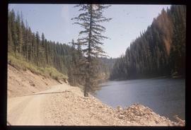
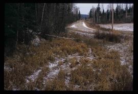
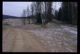
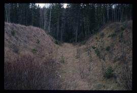
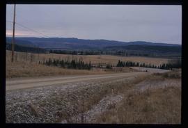
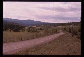
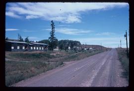
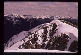
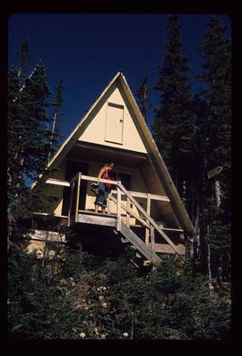
Image depicts the dirt road leading to Keithley Creek.
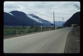
Image depicts the road leading to Hyder, which is on the other side of the Alaska-British Columbia border and is just a little south-west of Stewart, B.C.
Image depicts a road located somewhere near Birken, B.C.
Image depicts a road located somewhere near Birken, B.C.
Image depicts a north view of a road somewhere in Woodpecker, B.C.
Image depicts a north view of a road somewhere in Woodpecker, B.C.
Image depicts a ditch near a road somewhere in Woodpecker B.C.
Image depicts a road somewhere in Woodpecker, B.C.
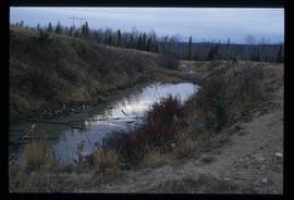
Image depicts a water-filled ditch near a road somewhere in Woodpecker B.C.
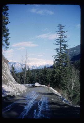
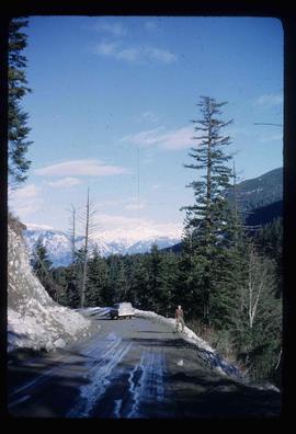
Image depicts a road somewhere in the Upper Fraser Canyon, and a view of the hills and trees.
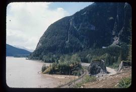
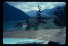
Image depicts a mountain located somewhere along the Skeena River, and a road alongside it.
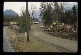
Image depicts a road with what appears to be a junkyard to the right of the image, likely located somewhere in Seton Portage, B.C.
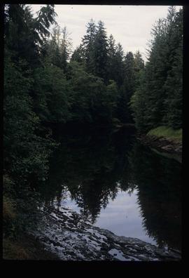
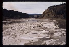
Image depicts a river with dense trees on either side.
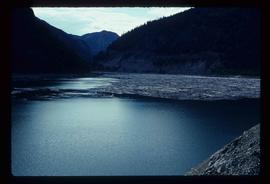
Image depicts a river full of logs, somewhere near Bralorne, B.C.
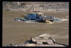
Image depicts a ferry on a river, possibly the Fraser River in the Lillooet area.
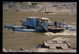
Image depicts a ferry on a river, possibly the Fraser River in the Lillooet area.
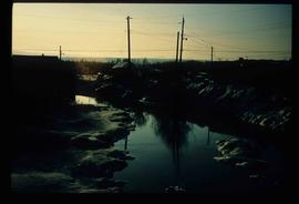
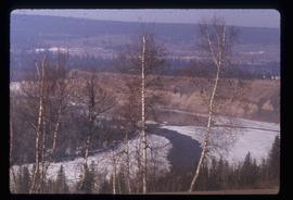
Image depicts what appears to be a small, narrow river, and mounds of snow. The location is uncertain.
Image depicts a river, possibly either the Nechako or the Fraser, and a mountain range from an unknown location.
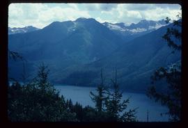
Image depicts a river on the left of the image and a range of mountains in the distance, located somewhere near Bralorne, B.C.
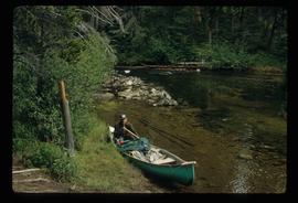
Image depicts a man in a canoe on a river somewhere in South Tweedsmuir Provincial Park. The man is possibly Kent Sedgwick.
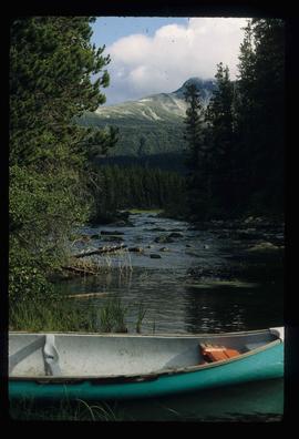
Image depicts a canoe on a river somewhere in South Tweedsmuir Provincial Park.
Image depicts what is possibly a section of the Tseax River.
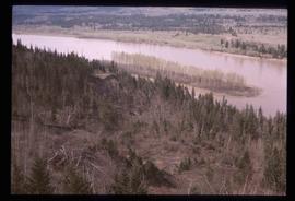
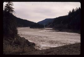
Image depicts a river and a hillside at an unknown location.
Image depicts a river, possibly the Nechako, in Prince George, B.C. Possibly taken from the Foothills Bridge.
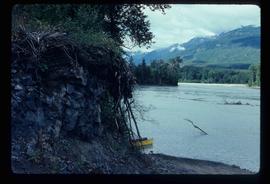
Image depicts a river at an uncertain location.
Image depicts a river, possibly the Fraser, at an uncertain location.
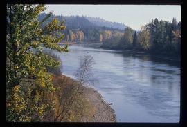
Image depicts a river at an uncertain location.
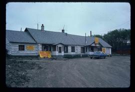
Image depicts the "Riske Creek General Store" in Riske Creek, B.C.
Image depicts Riske Creek, B.C. The brown building on the left is the local school.
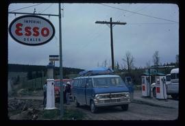
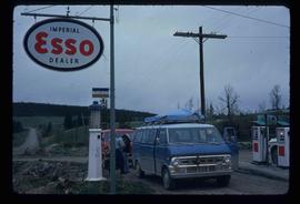
Image depicts the Esso gas station in Riske Creek, B.C.
Image depicts the Esso gas station in Riske Creek, B.C.
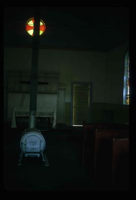
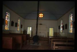
Image depicts the interior of a church in Shelley, B.C.
Image depicts the interior of the church after its restoration, in Shelley, B.C.
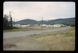
Image depicts a residential area with a playground somewhere in Mackenzie, B.C.
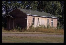
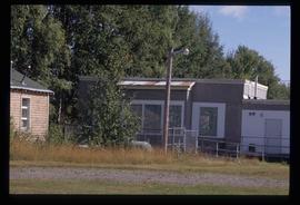
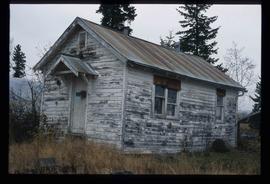
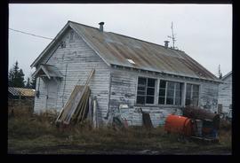
Image depicts a building in Reid Lake
Image depicts a building in Reid Lake
Image depicts a the teacherage building in Red Rock.
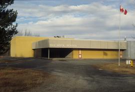
Image depicts the Red Rock School.
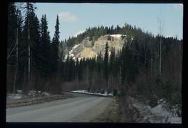
Image depicts a road, forest, and hill rise in an uncertain location possibly near Red Rock, B.C.
Image depicts a building in Red Rock.
Image depicts a building in Red Rock.
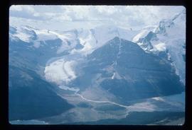
Image depicts what appears to be a receding glacier on the slopes of Mt. Robson.
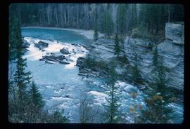
Image depicts the Rearguard Falls in Rearguard Falls Provincial Park near Tête Jaune Cache along the Yellowhead Highway.
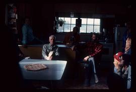
Image depicts a group of people in a kitchen area of the Mueller home in Sinclair Mill, B.C.; the man seated at the table with a grey shirt is Ray Mueller. Louisa Mueller is seated on counter wearing blue shirt. Map coordinates 54.014188, -121.676972
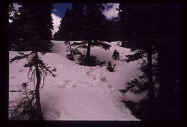
Image depicts an individual sliding down a snowy trail somewhere Raven Peak.
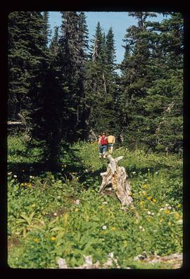
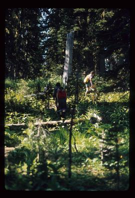
Image depicts several individuals walking the Raven trail.
Image depicts several individuals walking the Raven trail.
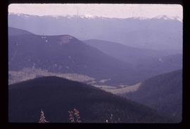
Image depicts a view of the area surrounding Raven Peak.
Image depicts Raven Peak in the Sugarbowl Grizzly Den Protected Area located on Highway 16 east of Prince George, B.C.
Image depicts a woman standing on the porch of a hut located by Raven Lake.
