2012.13.1.87.076
·
Item
·
[between 1975 and 1995]
Part of J. Kent Sedgwick fonds
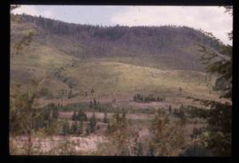
Image decpicts the old road to the townsite in Giscome, B.C. Map coordinates 54°04'19.7"N 122°22'04.7"W