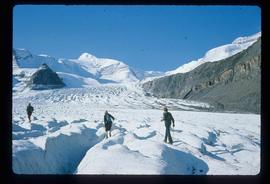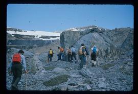
2012.13.1.72.12
·
Item
·
July 1981
Part of J. Kent Sedgwick fonds
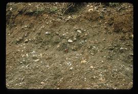
Image depicts a hammer sitting in dirt at an uncertain location.