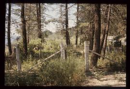
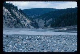
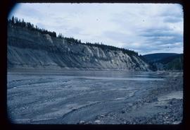
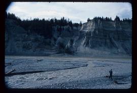
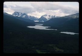
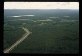
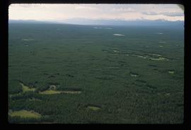
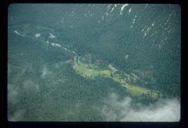
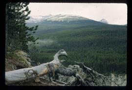
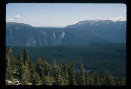
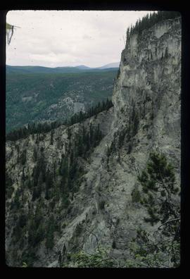
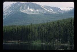
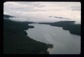
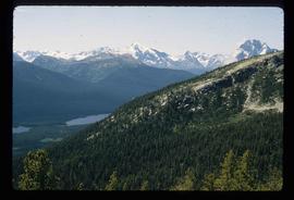
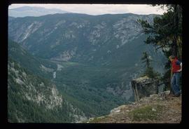
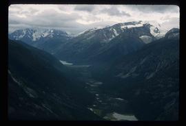
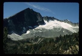
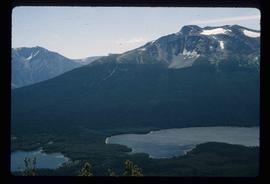
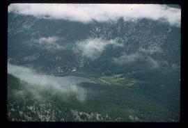
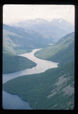
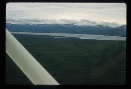
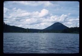
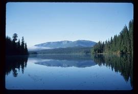
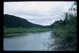
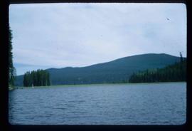
File consists of notes and reproductions relating to Soda Creek, BC. Also includes photographs depicting Soda Creek (2006).
Image depicts the old BX Sternwheeler office building in Soda Creek, B.C.
Image depicts the cemetery in Soda Creek, B.C.
Image depicts the ferry at Soda Creek, B.C.
Image depicts a house in Soda Creek, B.C.
Image depicts the old community hall in Soda Creek, B.C.
Image depicts the old jail house in Soda Creek, B.C.
Image depicts an old building located somewhere are the Pickard farm north of Soda Creek, B.C.
Image depicts what appears to be a Ranch at Soda Creek, B.C.
Image depicts a section of land, with a few houses, in Soda Creek, B.C.
Image depicts the cutbanks of the Fraser River at Soda Creek, B.C.
File contains slides depicting different types of soil.
File consists of notes, clippings, and reproductions relating to South Fort George. Includes: "South Fort George - A trip to the past" heritage brochure produced by South Fort George Community Association (1987) and "B.C. Express Co. Heritage Site" typed document prepared by the Heritage Advisory Committee (Feb. 1994). Also includes photographs depicting various buildings from old South Fort George.
Image depicts a cemetery in the South Fort George suburb of Prince George, B.C.
File consists of "South Fort George: A trip to the past", a heritage brochure prepared by the South Fort George Community Association.
File consists of notes, clippings, and reproductions relating to the South Fort George Elementary School.
The item is a map that depicts subdivision lots along the Fraser River in Prince George. The subdivision is DL 745 and 747 of the Cariboo District. Map is certified by G. F. Templeton, a BC land surveyor.
File consists of notes, typescript documents, and clippings relating to the heritage potential of South Fort George. Includes: "Heritage Potential of South Fort George" typescript document by the Heritage Advisory Committee (Feb. 1982) and "Fort George Area - Historical and Heritage Opportunities Study" letter to the Mayor and Council of Prince George from Mark B. Stagg, City Planner (5 Feb. 1982).
Image depicts a house somewhere in the South Fort George subdivision of Prince George, B.C.
File consists of notes, clippings, and reproductions relating to the South Fort George townsite. Includes "Name change from Glenora Park to Paddlewheel Park" typescript letter from Kent Sedgwick to The Mayor and Council (12 Sept. 1988).
Image depicts an aerial view of a chain of lakes in South Tweedsmuir Provincial Park.
Image depicts an aerial view of South Tweedsmuir Provincial Park.
Image depicts a view of South Tweedsmuir Provincial Park.
Image depicts an aerial view of South Tweedsmuir Provincial Park.
Image depicts a lake and mountain somewhere in South Tweedsmuir Provincial Park.
Image depicts an aerial view of a lake in South Tweedsmuir Provincial Park.
Image depicts an aerial view of South Tweedsmuir Provincial Park.
Image depicts a view of South Tweedsmuir Provincial Park. An unidentified man stands on the side of the image.
Image depicts an aerial view of a "glaciated valley" in South Tweedsmuir Provincial Park. Glacier Mountain is present in the image.
Image depicts an aerial view of Glacier Mountain in South Tweedsmuir Provincial Park.
Image depicts an aerial view of what is likely Glacier Mountain in South Tweedsmuir Provincial Park. The two lakes present are possibly Vista and Junker.
Image depicts an aerial view of South Tweedsmuir Provincial Park. The lake is possibly Lonesome Lake.
Image depicts an aerial view of a lake in South Tweedsmuir Provincial Park. It is possibly Lonesome Lake.
Image depicts an aerial view of what is likely Turner Lake in South Tweedsmuir Provincial Park.
Image depicts Southbank, B.C.
Image depicts the interior of the ferry at Southbank, B.C.
File consists of notes, clippings, and reproductions relating to southern British Columbia. Includes: "Aloha: From Hawaii, B.C". clipped article from Canada Journal magazine (Aug. 1995); "Heritage Nelson B.C". pamphlet from the City of Nelson (198-); and "'Silvery Slocan' Circle Drive from Kokanee Creek Provincial Park" pamphlet from the Province of British Columbia (1980).
Item is an original 1976 map depicting Spakwaniko Creek in British Columbia, published by the Department of Energy, Mines & Resources in Ottawa, Canada. The map includes pen markings.
Image depicts Spectacle Lake.
Image depicts the river channel leading to the Spectacle Lakes.