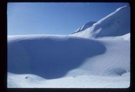
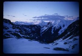
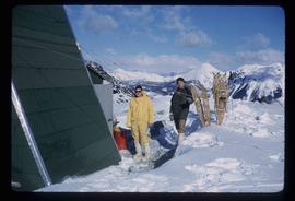
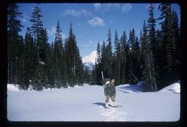
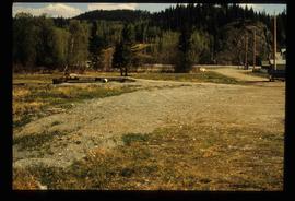
Image depicts the Place Glacier.
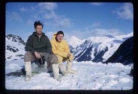
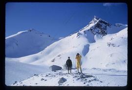
Image depicts two unknown individuals at the Place Glacier.
Image depicts the Place Glacier. There are two unknown individuals present.
Image depicts the Place Glacier.
Image depicts the Place Glacier. There are two unknown individuals present.
Image depicts an unknown individual at the Place Glacier.
File consists of notes and reproductions relating to place-based computing geography methodology regarding inter-disciplinary research on experiences of place to teach history and geography and used by Kent Sedgwick.
Item is a photocopy of Plan No. 1268 showing a subdivision of part of Indian Reserve no. 1 Lot 343 in the Cariboo District of British Columbia.
Item is a photocopy of Plan No. 1268 showing a subdivision of part of Indian Reserve no. 1 Lot 343 in the Cariboo District of British Columbia.
File consists of notes and typed documents relating to a field trip along the East Line for the Planning Institute of British Columbia.
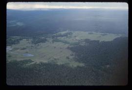
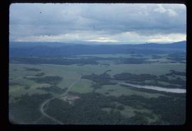
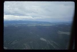
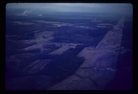
Image depicts an aerial view of a plateau near the Fraser River.
Image depicts an aerial view of a plateau near the Fraser River.
Image depicts an aerial view of a plateau near the Fraser River.
Image depicts a totem pole and a playground in what appears to be a residential area somewhere on Haida Gwaii, B.C.
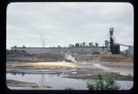
Image depicts a pulp mill in Port Edward, B.C.
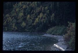
Image depicts the North end of Portage Lake.
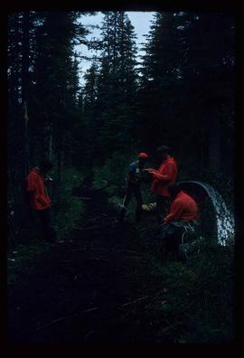
Image depicts the canoe group portaging to Indianpoint Lake.
Image depicts the path taken during the portage to McCleary Lake.
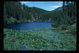
Image depicts Portal Lake, located near the Yellowhead Pass on the British Columbia-Alberta border, west of Jasper, A.B.
Image depicts numerous lily pads on the surface of Portal Lake, located near the Yellowhead Pass on the British Columbia-Alberta border, west of Jasper, A.B.
Image depicts power lines east of the pulp mills in Prince George, B.C.
File consists of notes and reproductions relating to pre-emption crown land grants between 1869 until 1912 in British Columbia, primarily in Prince George. File primarily consists of printed copies of pre-emptor maps of Prince George and region from the Royal BC Archives and Museum.
Item is a photocopied 1915 pre-emptor's map of Fort George, published by the British Columbia Department of Lands.
Item is a photocopied 1923 pre-emptor's map of Fort George, published by the British Columbia Department of Lands.
Item is a photocopied 1930 pre-emptor's map of Fort George, published by the British Columbia Department of Lands.
Item is a photocopied 1930 pre-emptor's map of Fort George, published by the British Columbia Department of Lands.
Item is an original 1943 pre-emptor's map of Fort George, published by the British Columbia Department of Lands.
Item is a photocopied 1949 pre-emptor's map of Fort George, published by the British Columbia Department of Lands.
Item is an original 1935 pre-emptor's map of Quesnel, published by the British Columbia Department of Lands.
Item is an original 1919 pre-emptor's map of Tete Jaune, published by the British Columbia Department of Lands.
File contains slides depicting scenery at various locations.
Previous site of sawmill in Giscome, B.C. looking northwest. Map coordinates 54°04'19.7"N 122°22'04.7"W
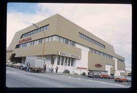
Image depicts the Pride O' the North shopping mall in Prince Rupert, B.C.
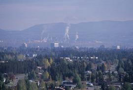
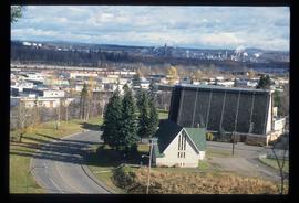
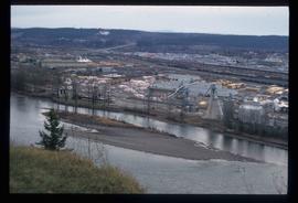
Image depicts Prince George, possibly with the Northwood Pulpmill in the background.
Image depicts Prince George, possibly with the Northwood Pulpmill in the background.
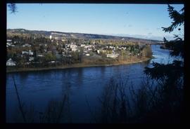
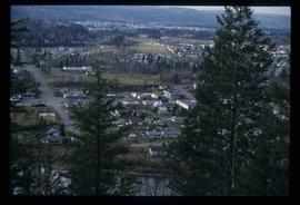
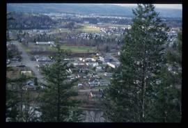
Image depicts a view of Prince George from an uncertain location.
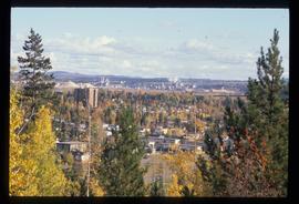
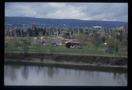
Image depicts a view of Prince George.
Image depicts a view of Prince George.
Image depicts a view of Prince George.
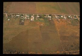
Image depicts an aerial view of what is possibly an outlying area of Prince George, B.C.
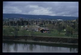
Image depicts a view of Prince George.
Image depicts Prince George, possibly with the Northwood Pulpmill in the background.
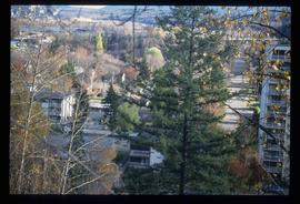
Image depicts Prince George with numerous trees obscuring most of the view.
Image depicts Prince George.
Image depicts a view of Prince George.
Image depicts a sawmill in Prince George, B.C.
Item is an original 1967 map depicting Prince George in British Columbia, published by the British Columbia Department of Lands, Forests and Water Resources. Map includes pen markings.
Item is an original 1976 map depicting Prince George, published by the Province of British Columbia Ministry of the Environment.
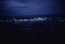
Image depicts Prince George at night from the cutbanks.
File consists of brochures relating to Prince George and the surrounding area. Includes: "Regional Parks" prepared by the Regional District of Fraser-Fort George; "A Guide to the Natural Habitat" prepared by the Habitat Information Group; "Wildlife Viewing at Forests for the World" prepared in co-operation with the Prince George Naturalists Club and British Columbia Wilflife Watch; "Your Guide to Downtown Prince George" prepared by the Prince George Town Centre Business Association; and "Welcome to the Forest" prepared by the City of Prince George.
