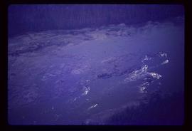
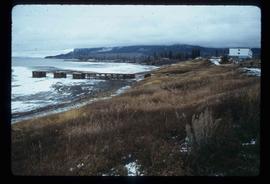
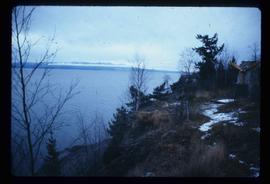
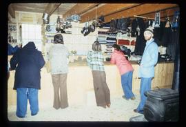
The item is a photograph depicting Fort George Canyon looking north up the Fraser River. Annotation on reverse side of photograph states, "looking north upstream 2."
The item is a photograph depicting the Fraser River running through Fort George Canyon.
The item is a photograph depicting the Fraser River running through Fort George Canyon.
The item is a photograph depicting the Fraser River running through Fort George Canyon.
The item is a photograph depicting the Fraser River running through the Fort George Canyon.
The item is a photograph depicting the Fraser River running through the Fort George Canyon.
The item is a photograph depicting the Fraser River running through the Fort George Canyon.
The item is a photograph depicting the Fraser River running through the Fort George Canyon.
The item is a photograph depicting the Fraser River running through the Fort George Canyon.
The item is a photograph depicting the Fraser River running through the Fort George Canyon.
The item is a photograph depicting the Fraser River running through Fort George Canyon.
Image depicts Fort George Canyon.
The item is a photograph depicting the Fraser River running through Fort George Canyon.
The item is a photograph depicting the Fraser River running through Fort George Canyon. Annotation on revers side of the photograph states, "6."
The item is a photograph depicting the Fraser River running through the Fort George Canyon.
The item is a photograph depicting the Fraser River running through the Fort George Canyon.
The item is a photograph depicting the Fraser River running through the Fort George Canyon.
The item is a photograph depicting the Fraser River running through the Fort George Canyon.
The item is a photograph depicting the Fraser River running through the Fort George Canyon.
File contains slides depicting images of the Fort George Canyon from 1984.
File consists of a note relating to the Fort George Canyon Elementary School.
The item is a reproduction of a survey map drafted on 20 Nov. 1910. The reproduction was likely created in 1990. The subdivision is lot 2610 G. I. and part of lots 2507 and 2608 G. I. Cariboo District. The area covered is South of 8th Avenue, East of 19th Avenue, North of 8th Street and West of Quinn Street. Annotations state, "Pl. 847," and various notations regarding lot information.
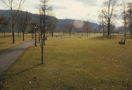
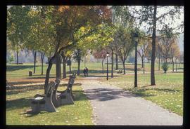
Image depicts the Fort George Park. Map coordinates 53°54'30.2"N 122°43'57.4"W
File consists of clippings, notes, and reproductions relating to Fort George Park (renamed in 2015 to Lheidli T'enneh Memorial Park). Includes: "Fort George Park" typescript document; "Plan No17962" reproduction of downtown map and plan no 17962 (1969); "Fort George Park" handwritten notes by Kent Sedgwick; and "Park No. JK 85 Fort George Park" map depicting plans for Fort George Park (28 June 1978).
Image depicts the Fort George Par, which was renamed Lheidli T'enneh Memorial Park in 2015. Map coordinates 53°54'30.2"N 122°43'57.4"W
Image depicts an aerial view of Fort George Park.
The item is a CD-R containing photographs from Suzanne Krejcha depicting Fort George Park farm.
The item is a photograph looking at Fort George Park, now known as Lheidli T'enneh Memorial Park, from 17th Avenue, Prince George.
File consists of notes and reproductions relating to a brochure about the Fort George Railway and the "Little Prince" 24? gauge steam engine. Includes: "Fort George Railway" brochure prepared by Kent Sedgwick (May 1988); "Fort George Railway Society" typescript letter to George Finsterle from Kent Sedgwick (1 May 1989); and "Fraser-Fort George Regional Museum" brochure (1988).
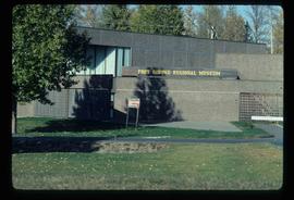
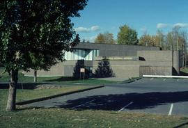
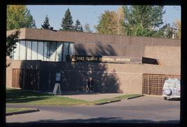
Image depicts the Fort George Regional Museum in Prince George, B.C.
Image depicts the Fort George Regional Museum (now known as The Exploration Place) in Prince George, B.C. Map coordinates 53°54'18.6"N 122°44'09.8"W
Image depicts the Fort George Regional Museum in Prince George, B.C. Map coordinates 53°54'18.6"N 122°44'09.8"W
File consists of notes, clippings, and reproductions relating to Fort St. James, the community and historic site. Includes material regarding the development of the community as a trading post for Hudson's Bay Company and the development of the historic site. Includes: "Fort St. James National Historic Site" pamphlet prepared by Parks Canada (1981); "Fort St. James National Historic Park" pamphlet prepared by Parks Canada (1974 and 1978); and photographs entitled "UNBC Student trip" and depict a snowy landscape and wooden cabin (Mar. 2004).
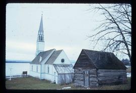
Image depicts a church in Fort St. James, B.C.
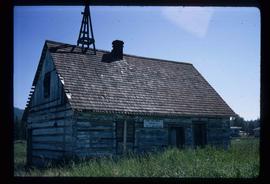
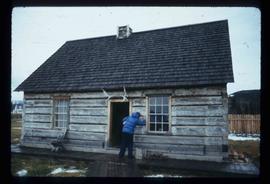
Image depicts an old log building in Fort St. James; the sign on it reads "Clerk's Living Quarters, Later Used as Fort St. James First School."
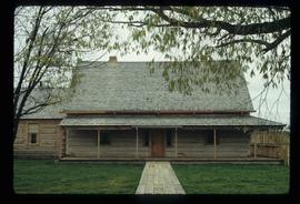
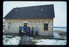
Image depicts a historic building in Fort St. James, B.C.
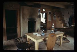
Image depicts the interior of a historic building in Fort St. James, B.C.
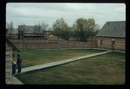
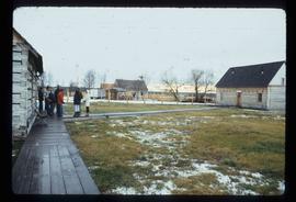
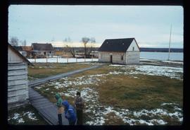
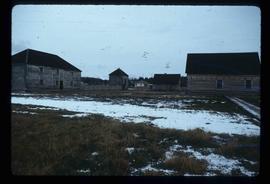
Image depicts the Hudson's Bay Company historic site in Fort St. James, B.C.
Image depicts the Hudson's Bay Company historic site in Fort St. James, B.C.
Image depicts the Hudson's Bay Company historic site in Fort St. James, B.C.
Image depicts the Hudson's Bay Company historic site in Fort St. James, B.C.
Image depicts the historic Hudson's Bay Company office in Fort St. James, B.C.
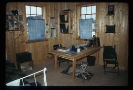
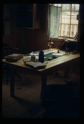
Image depicts the interior of the historic Hudson's Bay Company office in Fort St. James, B.C.
Image depicts the interior of the historic Hudson's Bay Company office in Fort St. James, B.C.
Image depicts the Hudson's Bay Company Trading Post at the historic site in Fort St. James, B.C.
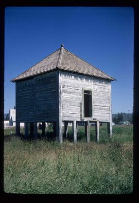
Image depicts an old shack on stilts in Fort St. James, B.C.
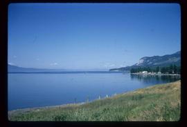
Image depicts Stuart Lake in Fort St. James, B.C.
Image depicts a partially frozen lake, most likely Stuart Lake in Fort St. James, B.C.
Image depicts a lake, possibly Stuart Lake in Fort St. James, B.C.
Image depicts the interior of the historic Hudson's Bay Company Trading Post, with several unknown individuals present, in Fort St. James, B.C.
