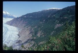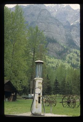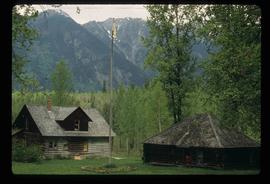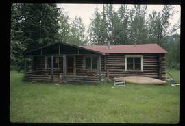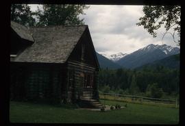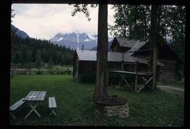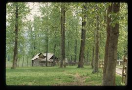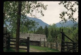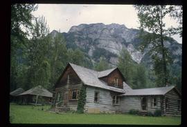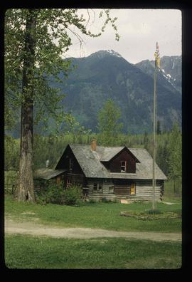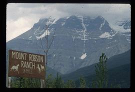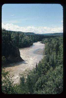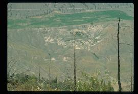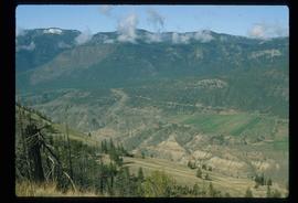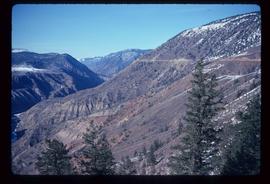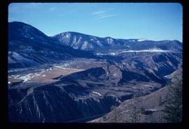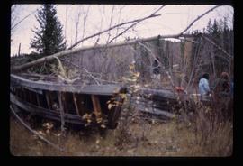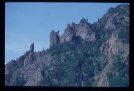
2012.13.1.84.33
·
Item
·
1994
Part of J. Kent Sedgwick fonds
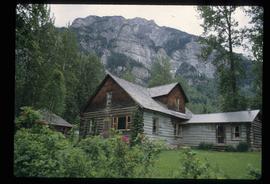
Image depicts a rock formation on a mountain side at an uncertain location.