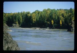
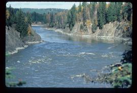
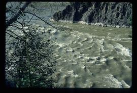
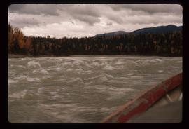
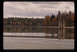
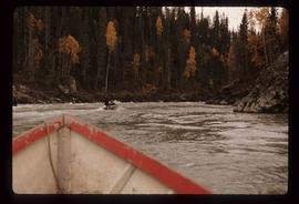
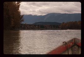
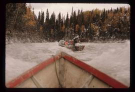
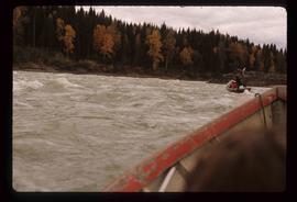
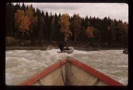
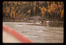
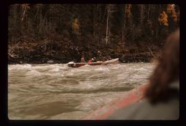
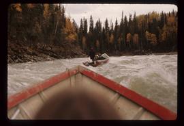
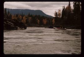
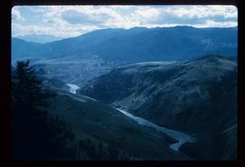
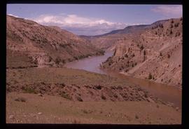
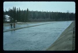
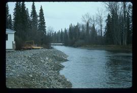
Image depicts the Fraser River in Fort George Canyon Provincial Park, B.C.
Image depicts the Fraser River in Fort George Canyon Provincial Park, B.C.
Image depicts the Fraser River in Fort George Canyon Provincial Park, B.C.
Image depicts the Fraser River in Fort George Canyon Provincial Park, B.C.
Image depicts the Fraser River in the Grand Canyon, B.C.
Image depicts the Fraser River in the Grand Canyon, B.C.
Image depicts a beaver dam on the Fraser River in the Grand Canyon, B.C.
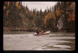
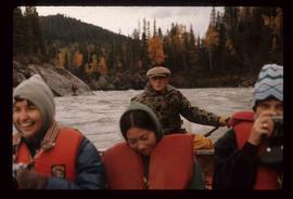
Image depicts a group of people in boats on the Fraser River in the Grand Canyon, B.C.
Image depicts a group of people in boats on the Fraser River in the Grand Canyon, B.C.
Image depicts a group of people in boats on the Fraser River in the Grand Canyon, B.C.
Image depicts a group of people in boats on the Fraser River in the Grand Canyon, B.C.
Image depicts a group of people in boats on the Fraser River in the Grand Canyon, B.C.
Image depicts a group of people in boats on the Fraser River in the Grand Canyon, B.C.
Image depicts a group of people in boats on the Fraser River in the Grand Canyon, B.C.
Image depicts a group of people in boats on the Fraser River in the Grand Canyon, B.C.
Image depicts a group of people in boats on the Fraser River in the Grand Canyon, B.C.
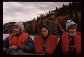
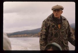
Image depicts three unknown individuals in a boat on the Fraser River; the man steering the boat is Ray Mueller.
Image depicts a group of people in boats on the Fraser River in the Grand Canyon, B.C.
Image depicts a group of people in boats on the Fraser River in the Grand Canyon, B.C.
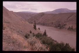
Image depicts a bridge over the Fraser River in the Upper Fraser Canyon; possibly near Gang Ranch.
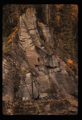
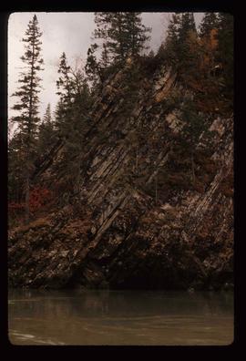
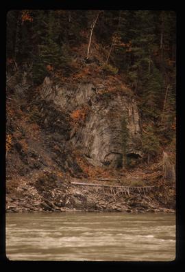
Image depicts a cliff side on the bank of the Fraser River in the Grand Canyon, B.C.
Image depicts the Fraser River from the Moran railway point in the Lillooet area.
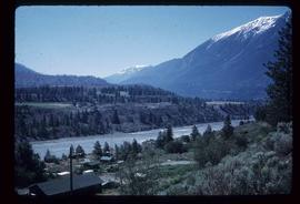
Image depicts a view of the Fraser River in Lillooet, B.C.
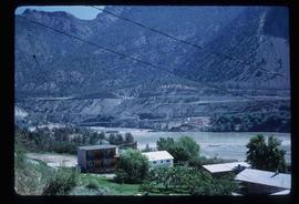
Image depicts a view of the Fraser River in Lillooet, B.C.
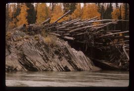
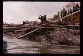
Image depicts numerous logs piled up on rocks in the Fraser River.
Image depicts the Fraser River near Gang Ranch in the Upper Fraser Canyon.
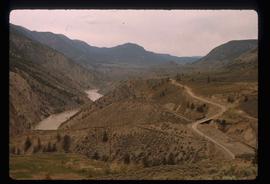
Image depicts a view of the Fraser River, as well as a road and railroad, near the Moran Canyon.
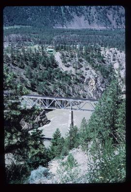
Image depicts a rail road bridge over the Fraser River, possibly somewhere in the Lillooet area.
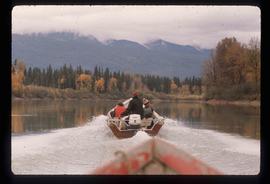
Image depicts Ray Mueller steering a boat on the Fraser River in the Grand Canyon, B.C.
Image depicts Ray Mueller steering a boat on the Fraser River in the Grand Canyon, B.C.
Image depicts a rocky section of the bank of the Fraser River in the Grand Canyon, B.C.
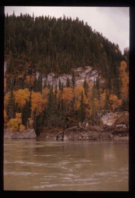
Image depicts the bank of the Fraser River in the Grand Canyon, B.C.
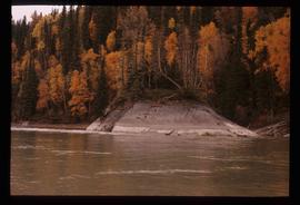
Image depicts the bank of the Fraser River in the Grand Canyon, B.C.
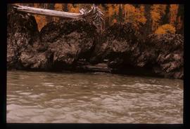
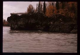
Image depicts a formation of rocks in the Fraser River, with a dead tree stuck on top of them.
Image depicts a formation of rocks in the Fraser River, with a dead tree stuck on top of them.
Image depicts a very small island in the middle of the Fraser River in the Grand Canyon, B.C.
File consists of aeriel photographs depicting the Fraser River Big Bend, where the Fraser River changes direction from westbound to southbound at its "Big Bend" near the Huble Homestead Historic Site, 45 km north of Prince George, British Columbia.
File consists of aerial photographs depicting the Fraser River Big Bend, where the Fraser River changes direction from westbound to southbound at its "Big Bend" near the Huble Homestead Historic Site, 45 km north of Prince George, British Columbia.
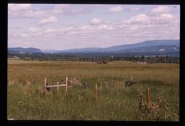
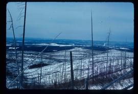
Image depicts the Fraser Valley, looking north, possibly from Marguerite, B.C.
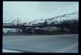
Image depicts the small town of Fraser, B.C. Located on the Klondike Highway.
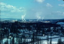
Image depicts a view of Prince George from Carney Hill.
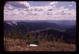
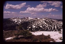
Image depicts a view of the Sugarbowl Grizzly Den Protected Area from Raven Peak.
Image depicts a view of the Sugarbowl Grizzly Den Protected Area from Raven Peak. The slide itself is labelled "towards cabin."
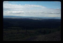
Image depicts a view of the landscape surrounding Tabor Mountain in Prince George, B.C.
Image depicts a view of the landscape surrounding Tabor Mountain in Prince George, B.C.
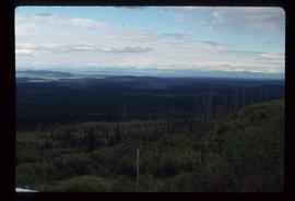
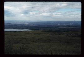
Image depicts the area surrounding Tabor Mountain. Prince George is slightly visible on the left side of the image in the background.
Image depicts the area surrounding Tabor Mountain. Prince George is slightly visible in the background.
File consists of notes, clippings, and reproductions relating to a book chapter titled "Frontier Outpost to 'Northern Capital': the functional transformation of Prince George, B.C., Canada" written by Kent Sedgwick and Greg Halseth for "Beyond the Metropolis: Urban Geography as if Small Cities Mattered". Includes: "RE: Book Chapters" printed email from Ben Ofori-Amoah to Greg Halseth and Kent Sedgwick (14 Sept. 2004). Includes a CD containing notes and material relating to the book chapter co-written by Kent Sedgwick and Greg Halseth (2004).
Image depicts the Fulton River.
Image depicts the Fulton River.
