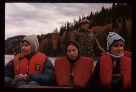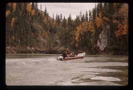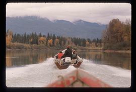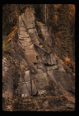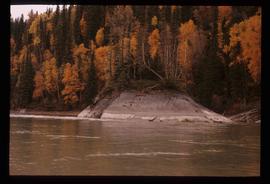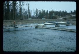
2012.13.1.13.27
·
Item
·
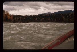
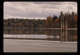
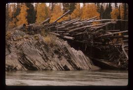
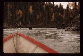
Oct. 1984
Part of J. Kent Sedgwick fonds
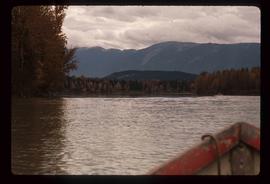
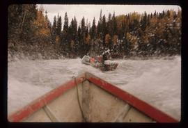
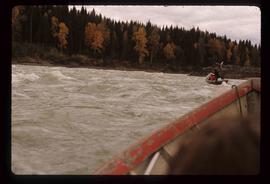
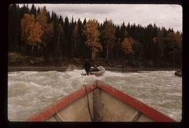
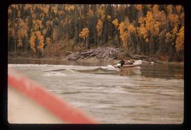
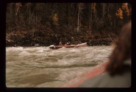
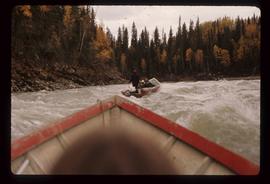
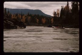
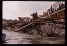
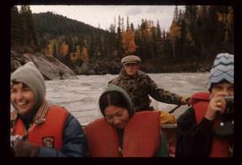
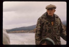
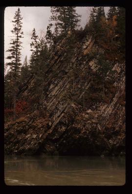
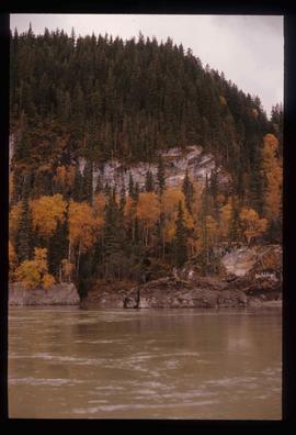
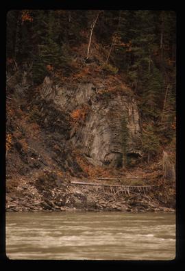
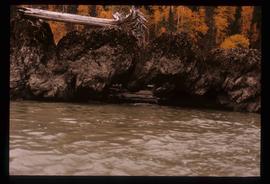
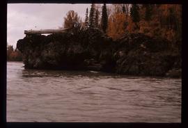
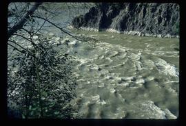
Image depicts the Fraser River in Fort George Canyon Provincial Park, B.C.