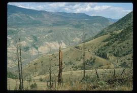
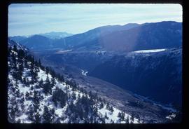
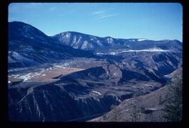
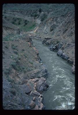
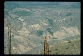
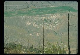
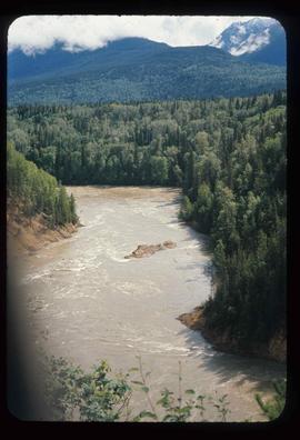
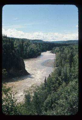
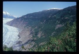
Image depicts a view of Moran Canyon in the Lillooet area. The Fraser River is visible on the left.
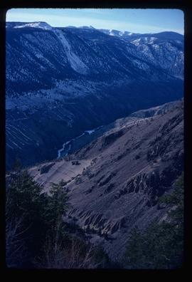
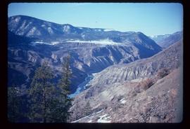
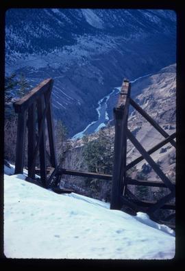
Image depicts the Fraser River running through the Moran Canyon near Lillooet, B.C.
Image depicts the Fraser River running through the Moran Canyon near Lillooet, B.C.
Image depicts a view of Moran Canyon in the Lillooet area.
Image depicts the Fraser River running through the Moran Canyon near Lillooet, B.C.
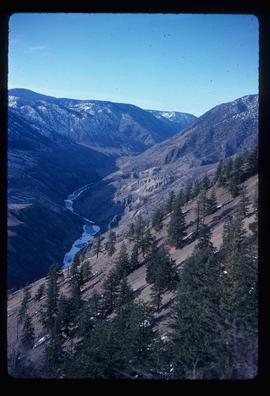
Image depicts the Fraser River running through the Moran Canyon near Lillooet, B.C.
Image depicts the Fraser River running through the Moran Canyon near Lillooet, B.C.
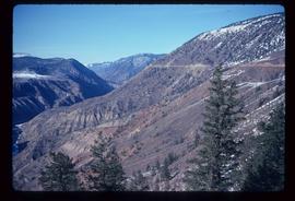
Image depicts the Moran Canyon near Lillooet, B.C.
Image depicts the Moran Canyon near Lillooet, B.C.
Image depicts what is possibly the Fraser River running through the Moran Canyon near Lillooet, B.C.
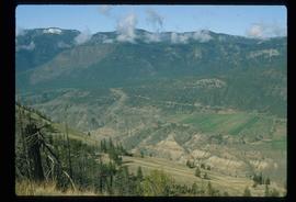
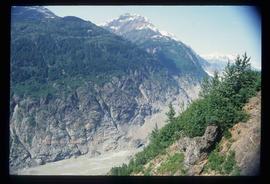
Image depicts the Moran Canyon; the Fraser River is visible near the bottom.
Image depicts an old earth flow in Moran Canyon, somewhere in the Lillooet area.
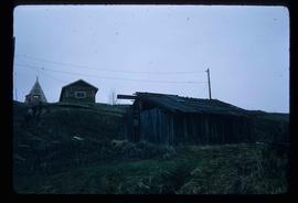
Image depicts a few old buildings, as well as several unknown individuals somewhere in Moricetown, B.C.
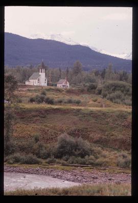
Image depicts a church on a hill in Moricetown, B.C.
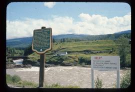
Image depicts the Bulkley River running through Moricetown Canyon.
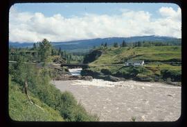
Image depicts the Bulkley River running through Moricetown Canyon.
Image depicts the Bulkley River running through Moricetown Canyon.
Image depicts the Bulkley River running through Moricetown Canyon.
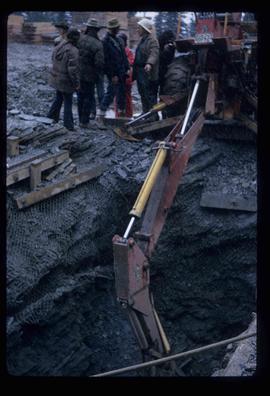
Image depicts several unknown individuals present as a piece of machinery is used to assist in the mining of gold at Mosquito Creek in Wells, B.C.
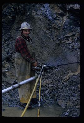
Image depicts a man using a piece of machinery for the mining of gold at Mosquito Creek in Wells, B.C.
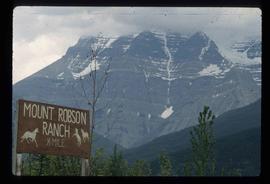
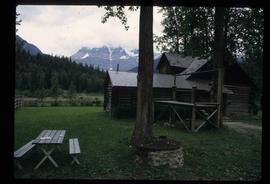
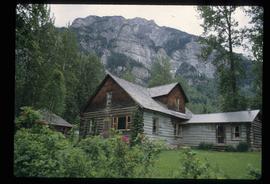
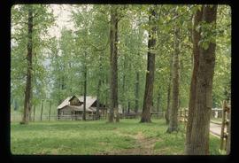
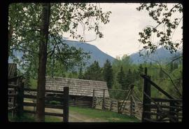
Image depicts Mount Robson while en route to Mount Robson Ranch in B.C.
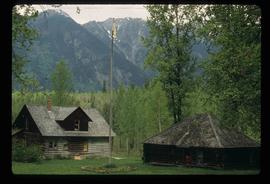
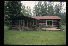
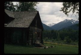
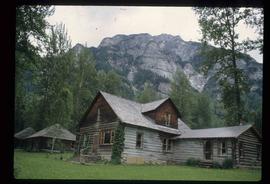
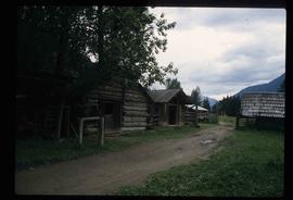
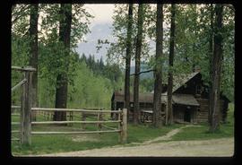
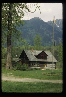
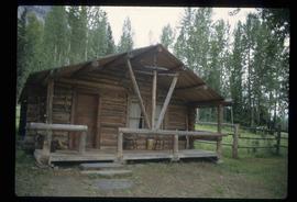
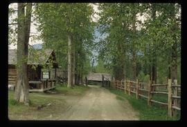
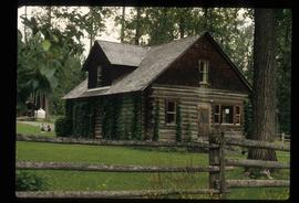
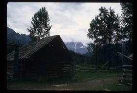
Image depicts the Mount Robson Ranch.
Image depicts the Mount Robson Ranch.
Image depicts the Mount Robson Ranch.
Image depicts the Mount Robson Ranch.
Image depicts the Mount Robson Ranch.
Image depicts the Mount Robson Ranch.
Image depicts the Mount Robson Ranch.
Image depicts the Mount Robson Ranch.
Image depicts the Mount Robson Ranch.
Image depicts the Mount Robson Ranch.
Image depicts the Mount Robson Ranch.
Image depicts the Mount Robson Ranch.
Image depicts the Mount Robson Ranch.
Image depicts the Mount Robson Ranch.
Image depicts the Mount Robson Ranch.
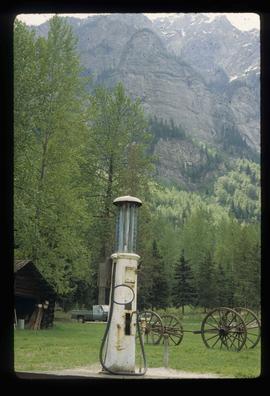
Image depicts an old gas pump at the Mount Robson Ranch.
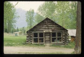
Image depicts the old trading post at Mount Robson Ranch.
Image depicts a mountain at an uncertain location.
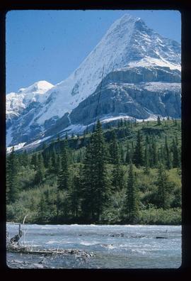
Image depicts what is possibly the Robson River at the base of Mt. Robson.
Image depicts a mountain with a thin line of what appears to be a road visible on the side, with the Bear Glacier located on the left side of the image.
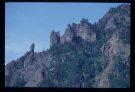
Image depicts a rock formation on a mountain side at an uncertain location.
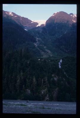
Image depicts a mountain somewhere in Bear Glacier Provincial Park.
Image depicts numerous mountains surrounding the Bear Glacier.
Image depicts a mountain range "east of Driftwood," possibly meaning the Driftwood Canyon Provincial Park east of Smithers, B.C.
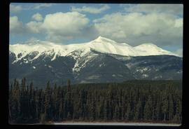
Image depicts what is either the Rocky Mountains or possibly the Columbia Mountains, from McBride, B.C.
Image depicts a mountain range located somewhere along the Skeena River.
Image depicts a mountain range located somewhere along the Skeena River.
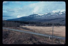
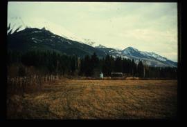
Image depicts a field and a shack in the foreground and mountains in the background. The location is uncertain, likely Longworth, B.C.
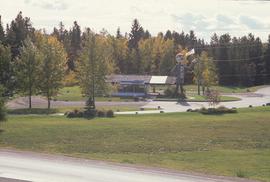
Image depicts Mr. P.G. and the Tourism Information site at the intersection of Highway 16 and 97. Map coordinates 53°53'46.5"N 122°46'00.7"W
