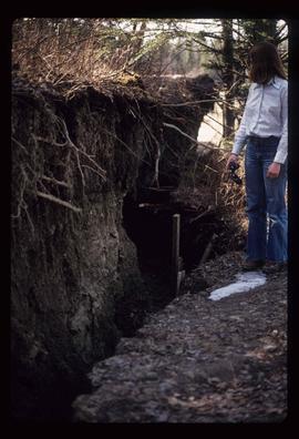
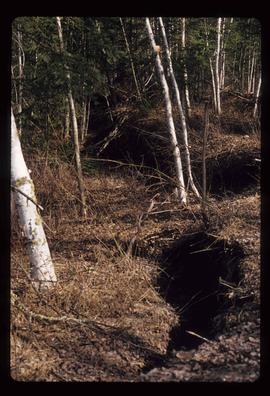
Image depicts an unknown woman pointing towards some faded First Nations' rock paintings.
Image depicts several unidentified individuals standing outside a building, and holding intricately painted drums; the woman on the right is Sue Sedgwick. The location is uncertain.
Image depicts several unidentified individuals standing outside a building and holding intricately painted drums; Kent Sedgwick is standing the middle of the group with Sue Sedgwick beside him. The location is uncertain.
Image depicts several unidentified individuals standing outside a building, and holding intricately painted drums. The location is uncertain.
Image depicts several unidentified individuals standing outside a building, and holding intricately painted drums; the woman on the right is Sue Sedgwick. The location is uncertain.
Image depicts an intricately painted drum. The location is uncertain.
Image depicts a snow sculpted fire place and couch on a skating rink, possibly during the Winter City Conference, in Prince George, B.C. Taken at the Prince George Civic Center. Map coordinates 53°54'45.6"N 122°44'59.6"W
Image depicts Sue Sedgwick cooking something in a fire pit.
Image depicts the old Fire Hall, now a museum, in Stewart, B.C.
Image depicts numerous tractors at Finning Tractor and Equipment Co. Ltd. located along Highway 97 in Prince George, B.C.
Image depicts numerous skiers standing near a finish line somewhere on Tabor Mountain in Prince George, B.C.
Image depicts the intersection of 5th Ave and Highway 97 looking northeast. Map coordinates 53°55'14.0"N 122°46'54.8"W
Image depicts the Fraser River, likely near the Hansard railroad bridge.
Image depicts a ferry entering Horseshoe Bay in the Howe Sound region.
Image depicts a structure that appears to be a type of zipline, ferry platform at an unknown location.
Image depicts two unidentified individuals standing outside a small, enclosed area somewhere in a forest. The location is uncertain.
Image depicts a fence and power lines near the shore on Haida Gwaii. It is possibly a small community such as Masset.
Image depicts a fence, perhaps somewhere in the Chilcotin region.
Image depicts a fence in the Blackwater River area in the Chilcotin.
Image depicts a fence somewhere in Anahim Lake, B.C.
Image depicts a wooden fence at an uncertain location, perhaps somewhere in the Chilcotin region.
Image depicts a wooden fence at somewhere in Meldrum Creek, B.C.
Image depicts a large number of felled trees, and an unknown individual standing on the path.
Image depicts an unknown individual standing next to what appears to be a fault at an unknown location.
Image depicts what appears to be a fault at an unknown location.
Image depicts a farmhouse on Old Summit Road in Prince George, B.C.
Image depicts a street, possibly in Kamloops, which has been closed for a Sunday morning Farmer's Market.
Image depicts a farm likely in Woodpecker, B.C.
Image depicts a farm at an uncertain location.
Image depicts a farm on the west side of the Fraser, south of Quesnel, B.C.
Image depicts what appears to be a farm at an uncertain location.
Image depicts a farm likely in Woodpecker, B.C.
Image depicts a farm at an uncertain location.
Image depicts a farm at an uncertain location; possibly somewhere in the McGregor Valley.
Image depicts a farm at an unknown location.
Image depicts some fallen trees at Island Cache.
Image depicts a view of an experimental farm, possibly taken from Tabor Mountain.
Image depicts the Exhibition Sports Centre, which used to be a drill hall army base, on Keller Street in Prince George, B.C.
Image depicts three unidentified individuals examining rocks near a set of railway tracks at an uncertain location in the Peace River Region.
Image depicts a group of individuals who appear to be examining a rock. It is possibly part of an educational trip.
Image depicts an evaporation pan for water evaporation measurements. The location is uncertain.
Image depicts an atmometer. According to the slide, it is being used for measuring the rate of water evaporation "from carborundum stone." The location is uncertain.
Image depicts the Europe Hotel in Prince George prior to its demolition in the 1980s; however, the slide itself was only made in 1999 and the date of the photo is otherwise unknown, but most likely around 1979.
Image depicts Eskers Park, near Prince George, B.C.