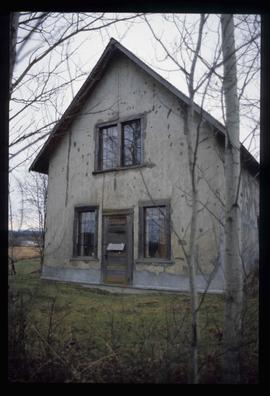
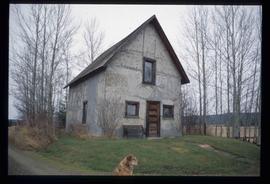
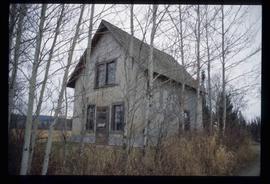
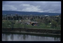
Image depicts an old Swedish style house somewhere in the Pineview subdivision in Prince George, B.C.
Image depicts an old Swedish style house somewhere in the Pineview subdivision in Prince George, B.C.
Image depicts an old Swedish style house somewhere in the Pineview subdivision in Prince George, B.C.
Photograph depicts a mayoral portrait of John Backhouse.
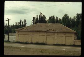
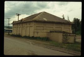
Image depicts a powerhouse in Prince George, B.C.
Image depicts a powerhouse in Prince George, B.C.
Image depicts power lines east of the pulp mills in Prince George, B.C.
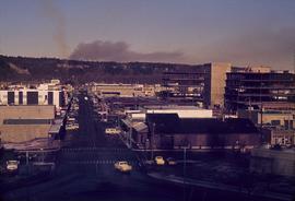
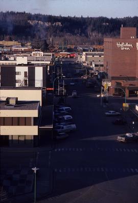
Image depicts a view of Prince George from City Hall looking northeast along George Street. Map coordinates 53°54'46.3"N 122°44'41.9"W
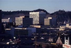
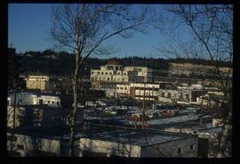
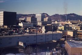
Image depicts downtown Prince George looking northwest. Map coordinates 53°54'48.7"N 122°44'45.6"W
Image depicts a view of Prince George from City Hall looking northeast along George Street. Map coordinates 53°54'46.3"N 122°44'41.9"W
Image depicts Prince George, possibly with the Northwood Pulpmill in the background.
Image depicts Prince George, possibly with the Northwood Pulpmill in the background.
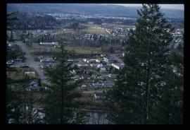
Image depicts a view of Prince George from an uncertain location.
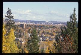
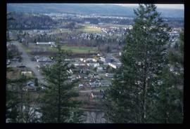
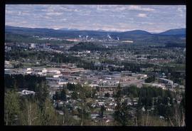
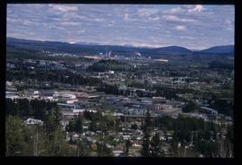
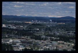
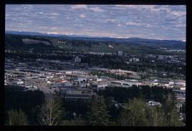
Image depicts a view of Prince George.
Image depicts a view of Prince George.
Image depicts a view of Prince George.
Image depicts Prince George, B.C.
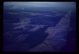
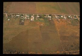
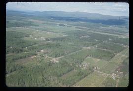
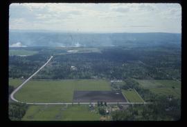
Image depicts an aerial view of what is possibly an outlying area of Prince George, B.C.
Image depicts a view of Prince George.
Image depicts downtown Prince George looking northwest across Dominion Street. Map coordinates 53°54'48.7"N 122°44'45.6"W
Image depicts Prince George, possibly with the Northwood Pulpmill in the background.
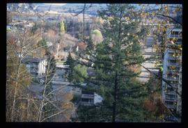
Image depicts Prince George with numerous trees obscuring most of the view.
Image depicts Prince George.
Image depicts a view of Prince George.
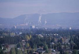
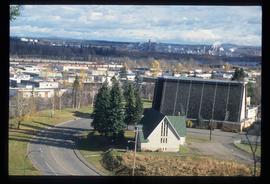
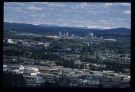
Image depicts Prince George from University Way, with the P.G.I pulp mill in the distance.
Image depicts Prince George from University Way, with the P.G.I. Pulp Mill in the distance.
Image depicts Prince George from University Way, with the P.G.I. Pulp Mill in the distance.
Image depicts Prince George from University Way, with the P.G.I. Pulp Mill in the distance.
Image depicts Prince George, with the picture looking North-Northeast from University Way.
Image depicts a sawmill in Prince George, B.C.
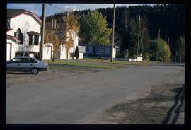
Image depicts an uncertain street in Prince George, B.C.
Subseries consists of material collected and created by Kent Sedgwick for research regarding schools in Prince George and area, as well as materials relating to Kent Sedgwick's involvement with the Prince George Retired Teacher's Association. Files primarily consist of notes regarding the location and history of various schools in and surrounding Prince George and photographs depicting historic school buildings. The research on schools aided the development of a history of schools for the Prince George Retired Teachers' Association.
Subseries consists of material collected and created by Kent Sedgwick for research regarding various areas within Prince George. These files include material on neighbourhoods and notable areas within the city, as well as the Regional District of Fraser-Fort George. Notable areas include the Fort George Canyon, downtown Prince George, and Cottonwood Island. The files primarily contain notes and newspaper clippings relating to the development and history of these areas.
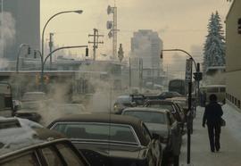
Image depicts Brunswick Street at 3rd Ave in -35 degree weather. Map coordinates 53°55'03.0"N 122°44'51.7"W
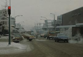
Image depicts 3rd Ave at Brunswick Street in -35 degree weather. Map coordinates 53°55'03.0"N 122°44'51.7"W
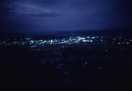
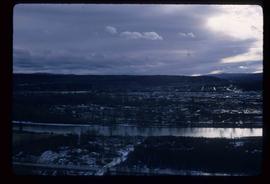
Image depicts Prince George at night from the cutbanks.
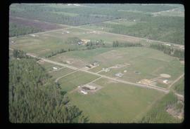
Image depicts a clearing in Prince George, B.C., possibly in the Pineview area.
Image depicts a clearing in Prince George, B.C.
Subseries consists of material collected and created by Kent Sedgwick for research relating to community life in Prince George. The files primarily consist of notes and newspaper clippings discussing life in Prince George during the 20th century. Subseries contains material on public services and infrastructure including fire protection, electricity, water towers, policing and jails, and medicine; the history of businesses including Northern Hardware; public events; and recreational activities including hockey, baseball, curling, skiing, tennis, soccer, lacrosse, boxing, horse racing, golfing, and art.
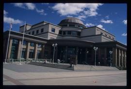
Image depicts the Courthouse in Prince George, B.C.
Image depicts Prince George from the view of Peden Hill.
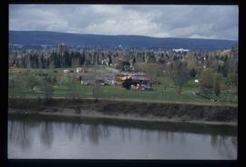
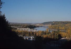
Image depicts a view of Prince George from the cutbanks.
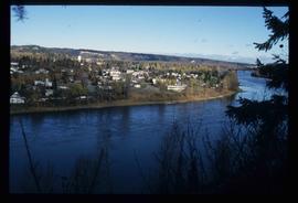
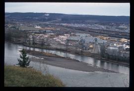
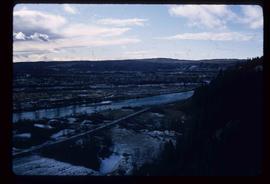
Image depicts a view of Prince George from the cutbanks on the Nechako river.
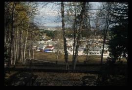
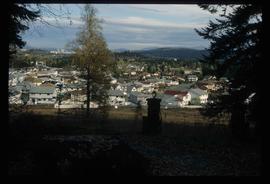
Image depicts a Prince George residential area from the viewpoint of the Ginter Property.
Image depicts a Prince George residential area from the viewpoint of the Ginter Property.
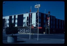
Image depicts the Prince George Hotel.
Subseries includes research material created and collected by Kent Sedgwick relating to land survey, development, and settlement in Prince George and British Columbia. Land surveys were conducted in British Columbia by surveyors George Dawson, the North Coast Land Company, Alfred R.C. Selwyn, and the Geological Survey of Canada during the late 19th and early 20th centuries. James C. Anderson and engineer J. Gill conducted topographical surveys for the Grand Trunk Pacific Railway on Fort George and the Indian Reserve. Surveyors and land plot companies developed the land for sale to promote settlement in the area. Also includes materials regarding the continued development of the City of Prince George throughout the 20th century. The files primarily consist of newspaper clippings, research notes, and photocopied documents.
Subseries consists of material collected and created by Kent Sedgwick for research relating to museums and historical societies within Prince George. Includes material regarding the Fraser Fort-George Regional Museum, the Exploration Place Museum, the Prince George Railway and Forestry Museum, the Fraser-Nechako Historical Society, the Prince George Oral History Group, and the Prince George Genealogical Society. Also includes publications such as newspapers and calendars created by the museums and societies and various materials regarding activities conducted by the institutions.
Image depicts Prince George near the Airport Road.
File contains slides depicting maps for land use in Prince George.
