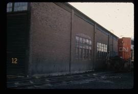
Image depicts the Grand Trunk Pacific railway roundhouse in Prince George, B.C.
File contains slides depicting maps of the Prince George town site.
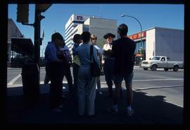
Image depicts a group of individuals standing on the corner of 3rd Ave in Prince George, B.C.
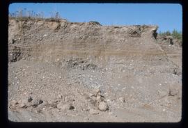
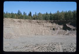
Image depicts layers of gravel at the BCR site in Prince George, B.C.
Image depicts layers of gravel at the BCR site in Prince George, B.C.
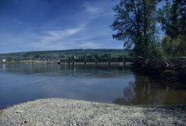
Image depicts the Fraser River and the Grand Trunk Pacific Bridge from Cottonwood Island Park.
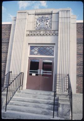
Image depicts the Canadian Forces Recruiting Centre on the north side of 3rd Ave in Prince George, B.C.
Image depicts the Ginter Property in Prince George, B.C.
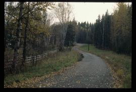
Image depicts a road near the Ginter House in Prince George, B.C.
Image depicts a road near the Ginter House in Prince George, B.C.
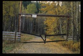
Image depicts a private driveway, most likely leading to the Ginter Property in Prince George, B.C.
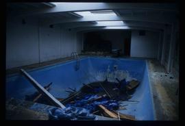
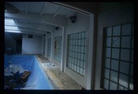
Image depicts a swimming pool filled with debris in the interior of the Ginter House in Prince George, B.C.
Image depicts the interior of the Ginter House in Prince George, B.C.
Image depicts the interior of the Ginter House in Prince George, B.C.
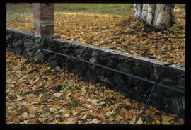
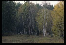
Image depicts what appears to be a part of a fence on the Ginter Property in Prince George, B.C.
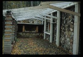
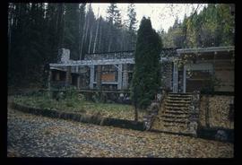
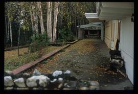
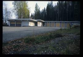
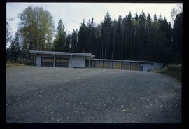
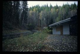
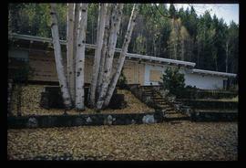
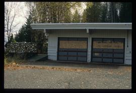
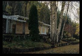
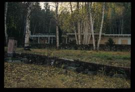
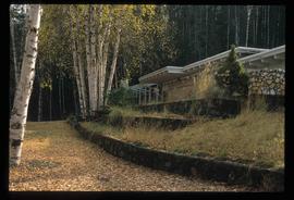
Image depicts the Ginter House in Prince George, B.C.
File contains slides depicting images of the Ginter House from 1997 in Prince George, B.C.
Image depicts the Ginter House in Prince George, B.C.
Image depicts the Ginter House in Prince George, B.C.
Image depicts the Ginter House in Prince George, B.C.
Image depicts the Ginter House in Prince George, B.C.
Image depicts the Ginter House in Prince George, B.C.
Image depicts the Ginter House in Prince George, B.C.
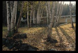
Image depicts the Ginter House and the surrounding woods, in Prince George, B.C.
Image depicts the Ginter House in Prince George, B.C.
Image depicts the Ginter House in Prince George, B.C.
Image depicts the Ginter House in Prince George, B.C.
Image depicts the Ginter House in Prince George, B.C.
Image depicts the Ginter House in Prince George, B.C.
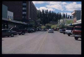
Photograph depicts "Gifts to Remember," a gift shop on 3rd Avenue, The Bay in the background.
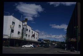
Image depicts a view of George Street with the Prince George Hotel.
Image depicts a view of George Street with the Prince George City Hall at the corner of George Street and 7th Avenue.
Subseries consists of materials collected by Kent Sedgwick for research on the geography and natural resources in Prince George and its region. Includes material on the natural resource industry, including the opening of the McArthur Sawmill, the W. Lamb and Sons Lumber Sawmill, and mining; photocopied aerial photographs of Prince George; the climate, temperatures, and flooding; and the geographical features of Prince George.
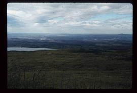
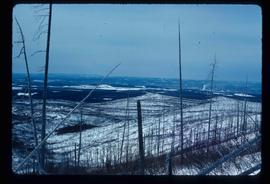
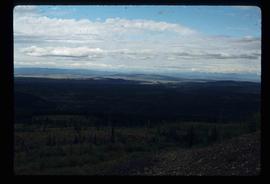
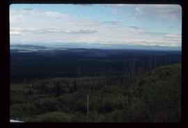
Image depicts the area surrounding Tabor Mountain. Prince George is slightly visible on the left side of the image in the background.
Image depicts the area surrounding Tabor Mountain. Prince George is slightly visible in the background.
Image depicts a view of the landscape surrounding Tabor Mountain in Prince George, B.C.
Image depicts a view of the landscape surrounding Tabor Mountain in Prince George, B.C.
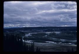
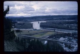
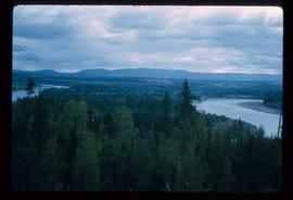
Image depicts the Fraser River from the vantage point of the cutbanks in Prince George, B.C.
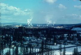
Image depicts a view of Prince George from Carney Hill.
Image depicts a view of the Fraser-Nechako confluence from the Prince George cutbanks.
Image depicts the Fraser River from Northwood Road in the Prince George area.
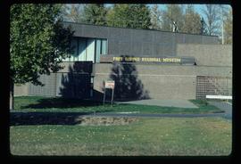
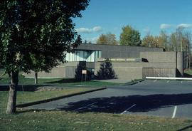
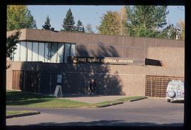
Image depicts the Fort George Regional Museum in Prince George, B.C.
Image depicts the Fort George Regional Museum (now known as The Exploration Place) in Prince George, B.C. Map coordinates 53°54'18.6"N 122°44'09.8"W
Image depicts the Fort George Regional Museum in Prince George, B.C. Map coordinates 53°54'18.6"N 122°44'09.8"W
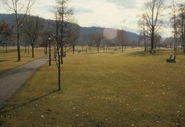
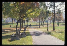
Image depicts the Fort George Park. Map coordinates 53°54'30.2"N 122°43'57.4"W
Image depicts the Fort George Par, which was renamed Lheidli T'enneh Memorial Park in 2015. Map coordinates 53°54'30.2"N 122°43'57.4"W
Image depicts an aerial view of Fort George Park.
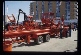
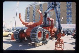
Image depicts several pieces of heavy machinery used in forestry. The Coast Inn of the North is seen in the background.
Image depicts several pieces of heavy machinery used in forestry. The Coast Inn of the North is seen in the background.
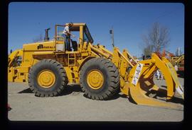
Image depicts an unidentified individual examining a piece of heavy machinery used in the forestry industry. It is located in Prince George, B.C.
