2012.13.2.16.25.2
·
Item
·
[2001?]
Part of J. Kent Sedgwick fonds
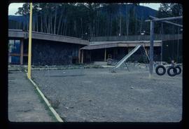
The item is a photograph depicting the old, wooden Salmon Valley elementary school relocated to La Casse farm. The building is weathered with fading paint, a rusted roof and boarded up windows. There is a rusted bicycle, a rusted barrel and other debris in front of the building. Annotation on reverse side of the photograph states, "teacher illegible handwriting La Casse farm."