The item is a 35 mm photograph negative of a photograph depicting Prince George's City Hall circa. 1922 . The building is approximately two stories high. There is an artillery cannon next to the building. The refection of the photographer is slightly visible in the photograph.
The item is a 35 mm photograph negative of a photograph depicting Prince George's City Hall circa. 1922 . The building is approximately two stories high. There is an artillery cannon next to the building. The refection of the photographer is slightly visible in the photograph.
The item is a photograph of a photograph depicting Prince George's City Hall circa. 1922 . The building is approximately two stories high. There is an artillery cannon next to the building. The reflection of the photographer is slightly visible in the photograph.
The item is a photograph of a photograph depicting Prince George's City Hall circa. 1922 . The building is approximately two stories high. There is an artillery cannon next to the building. The reflection of the photographer is slightly visible in the photograph.
The item is a photograph depicting Prince George City hall in 1994. The photograph was taken around Christmas. A nativity scene can be seen in front of the building. Annotation on the back states, "Dave Mah c. 1994." The address is 1100 Patricia Boulevard.
File consists of notes, clippings, and reproductions relating to the Civic Centre and Coliseum in Prince George. Includes various clipped articles from the Prince George Citizen newspaper and "Prince George Coliseum Assessment Study" photocopy of a typescript document (8 Apr. 1989). Also includes a photograph depicting the Prince George Coliseum (Jan 1989).
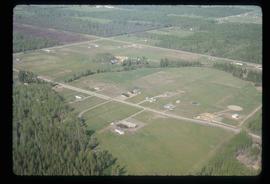
Image depicts a clearing in Prince George, B.C., possibly in the Pineview area.
Image depicts a clearing in Prince George, B.C.
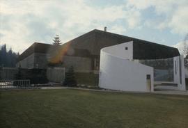
The item is a photograph negative depicting the back exterior of the Prince George Coliseum. There is snow on the ground and a full parking lot. The Prince George Civic Centre can be seen in the background.
Subseries consists of material collected and created by Kent Sedgwick for research relating to community life in Prince George. The files primarily consist of notes and newspaper clippings discussing life in Prince George during the 20th century. Subseries contains material on public services and infrastructure including fire protection, electricity, water towers, policing and jails, and medicine; the history of businesses including Northern Hardware; public events; and recreational activities including hockey, baseball, curling, skiing, tennis, soccer, lacrosse, boxing, horse racing, golfing, and art.
File consists of notes, clippings, and reproductions relating to the history of businesses within Prince George. Includes the following clipped articles from the Prince George Citizen newspaper: "The History of Pastry Chef Bakery" (Nov. 2010); "Sole man" (June 2009); "Celebrating 95 years in Prince George" (Feb. 2006); and "Overwaitea Remembers Famous Green Teapot" (Feb. 1986). Also includes a CKPG Radio special anniversary issue of "Golden waves" and photographs depicting the demolition of Parkwood Mall (8 Apr. 1997).
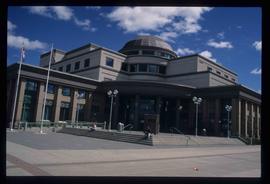
Image depicts the Courthouse in Prince George, B.C.
File consists of notes, clippings, and reproductions relating to a downtown walking tour conducted by Sedgwick for the British Columbia Historical Federation 2003 conference. Also includes photographs depicting participants of the BC Historical Federation Conference on a downtown walking tour in Prince George (2003).
File consists of clippings, notes, reproductions, and letters relating to the Prince George Experimental Farm. Includes "District 'C' Farmer's Institute" letter correspondence between the director of development services and Marlene Schwartz (19 July 1999) and "RE: Century Farms Project" letter from Kent Sedgwick to the Ministry of Agriculture, Fisheries & Food (13 Sept. 1994). Also includes photographs depicting the experimental farm in Prince George, including the house on the property, a barn with a rainbow painted on the front, and the barn at multiple angles (Aug. 2001).
File consists of notes and reproductions relating to floods in Prince George. Also includes photographs depicting a sign describing the importance of floods in Prince George.
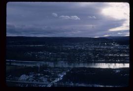
Image depicts Prince George from the view of Peden Hill.
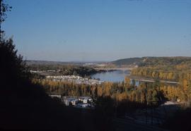
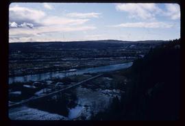
Image depicts a view of Prince George from the cutbanks.
Image depicts a view of Prince George from the cutbanks on the Nechako river.
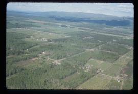
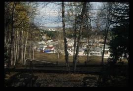
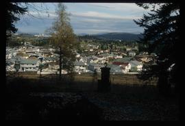
Image depicts a Prince George residential area from the viewpoint of the Ginter Property.
Image depicts a Prince George residential area from the viewpoint of the Ginter Property.
Subseries contains material created over the course of Kent Sedgwick’s involvement with the Prince George Heritage Commission between 1978 and 2006. The files include correspondence, meeting minutes, typed documents, and research materials collected for heritage projects. Some of the heritage projects Kent Sedgwick was involved in include the creation of a heritage inventory record, particularly heritage houses; developing L.C. Gunn Park; and creating interpretive signage for historic locations throughout Prince George.
The item is a photograph of the Prince George Home Builders' Association Professional Building at 1705 3 Avenue, Prince George.
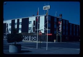
Image depicts the Prince George Hotel.
Subseries includes research material created and collected by Kent Sedgwick relating to land survey, development, and settlement in Prince George and British Columbia. Land surveys were conducted in British Columbia by surveyors George Dawson, the North Coast Land Company, Alfred R.C. Selwyn, and the Geological Survey of Canada during the late 19th and early 20th centuries. James C. Anderson and engineer J. Gill conducted topographical surveys for the Grand Trunk Pacific Railway on Fort George and the Indian Reserve. Surveyors and land plot companies developed the land for sale to promote settlement in the area. Also includes materials regarding the continued development of the City of Prince George throughout the 20th century. The files primarily consist of newspaper clippings, research notes, and photocopied documents.
Subseries consists of material collected and created by Kent Sedgwick for research relating to museums and historical societies within Prince George. Includes material regarding the Fraser Fort-George Regional Museum, the Exploration Place Museum, the Prince George Railway and Forestry Museum, the Fraser-Nechako Historical Society, the Prince George Oral History Group, and the Prince George Genealogical Society. Also includes publications such as newspapers and calendars created by the museums and societies and various materials regarding activities conducted by the institutions.
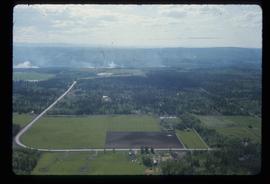
Image depicts Prince George near the Airport Road.
File contains slides depicting maps for land use in Prince George.
The photograph is of the power house in Prince George before 1999. The power house was built ca. 1916.
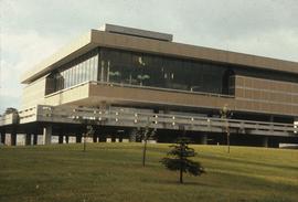
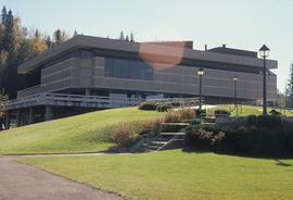
Image depicts the Prince George Public Library (Bob Harkins Branch). Map coordinates 53°54'43.1"N 122°44'56.4"W
Image depicts the Prince George Public Library (Bob Harkins Branch). Map coordinates 53°54'44.6"N 122°45'01.7"W
The item is an interior photograph of the Prince George Public Library. Image depicts the stairwell entrance and elevator.
The item is a photograph depicting a narrow staircase from the parking level to the Prince George Public Library.
The item is a photograph depicting a narrow staircase from the parking level to the Prince George Public Library.
The item is a photograph depicting the exterior entrance from the parking level to the Prince George Public Library.
File consists of clippings, notes, and reproductions relating to the Prince George Railway and Forestry Museum. Includes: "Railway and forestry museum" letter to Kent Sedgwick from Ranjit Gill at the Railway and Forestry Museum (16 Nov. 2009); "RE: Grand Trunk Pacific Roundhouse, Prince George, B.C". typescript letter to the British Columbia Heritage Trust from G.M. Grant of the Central British Columbia Railroad Preservation & Museum Society (11 Jan. 1984); and "Nechako Comes Home" article from the Prince George Railway Museum (1990). Also includes a 1990 photograph depicting a building at the Railway and Forestry Museum and a polaroid depicting the location of the Railway Museum in 1978, at the time a garbage dump.
The item is a photograph depicting the Prince George Railway Museum building ca. 1990. The building is white with a front deck and is situated behind a chain link fence.
The item is a contact print of photo negatives. The print includes photos of downtown Prince George ca. 1980.
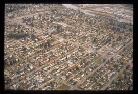
Image depicts an aerial view of a Prince George residential section between Highway 97, Carney Street and 10th Ave looking north. Map coordinates 53°54'54.0"N 122°46'00.4"W
Image depicts the Prince George Sawmill from the Northwood Bridge.
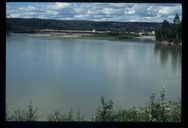
Image depicts Prince George Sawmill taken from across the Nechako River looking southwest. Map coordinates 53°56'00.0"N 122°44'29.7"W
Image depicts Prince George Sawmill taken from across the Nechako River looking southwest. Map coordinates 53°56'00.0"N 122°44'29.7"W
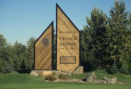
Image depicts the Prince George welcome and population sign, with a population of 71,086. Map coordinates 53°53'52.0"N 122°46'08.7"W
The item is a photograph depicting the rear side of the Prince George Snowmobile Club. The building was originally Buckhorn school. The building is wooden with a metal roof. Sign on the door reads, "Alarmed."
The item is a photograph depicting the side of the Prince George Snowmobile Club. The building was originally Buckhorn school. The building is wooden with a metal roof. Sign on the door reads, "New Members Welcome."
The item is a photograph depicting the front and side of the Prince George Snowmobile Club. The building was originally Buckhorn school. The building is wooden with a metal roof.
Subseries contains material collected and created by Kent Sedgwick for research regarding various areas surrounding Prince George. Includes materials on the Crooked River area; Summit Lake; Ferguson Lake; Chief Lake; Salmon Valley; Mud River; Beaverly; Buckwater; Chilako River; Indian Reserve no. 4; Blackburn; Pineview; Stone Creek; Red Rock; Woodpecker; and Hixon. The files primarily consist of research notes and photographs depicting the communities.
Image depicts the Four Seasons Leisure Pool, and the Centennial Fountain in Prince George, B.C. Map coordinates 53°54'48.5"N 122°44'49.2"W
The item is a photograph and negative of a survey map of the Prince George townsite surrounding Connaught Park.
The item is a photograph negative of a survey map of the Prince George townsite surrounding Connaught Park.
The item is a photograph and negative of a survey map of the Prince George townsite South of the Nechako River and West of the Fraser River.
