The item is a photograph depicting a stone fireplace in Ben Ginter's house. The location is on an unnamed road in Prince George. Photograph was taken 13 Oct. 1997 and developed Feb. 1998.
The item is a photograph depicting a man standing in front of a stone fireplace in Ben Ginter's house. The location is on an unnamed road in Prince George.
The item is a photograph depicting a bathroom in Ben Ginter's house. The focus is on the lights, a mirror, sink and cupboards. The location is on an unnamed road in Prince George. Photograph was taken 13 Oct. 1997 and developed Feb. 1998.
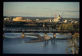
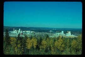
Image depicts two mills; the Intercontinental Pulp Mill is on the right in the foreground, and the Prince George Pulp and Paper Mill is on the left in the background. The picture is taken from the South, possibly off Yellowhead Bridge in Prince George, B.C.
Image depicts two mills; the Intercontinental Pulpmill is on the left side of the tracks in the image and the Prince George Pulp and Paper Mill is located on the right side in Prince George, B.C. The Northwood Pulp Mill can be seen in the distance.
File contains slides depicting various types of instruments at various locations, including Willow River.
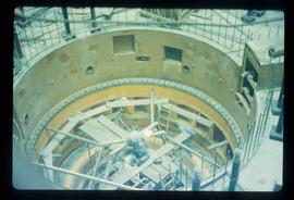
Image depicts two individuals at work inside what appears to be a piece of machinery. It is possibly located somewhere in Fort St. John, B.C.
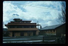
Image depicts the Inlander Hotel in Hazelton, B.C. The peak of the Rocher de Boule mountain is visible in the background.
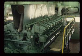
Image depicts a piece of industrial machinery, likely for either mining or forestry, in an uncertain location near McLeod Lake, B.C.
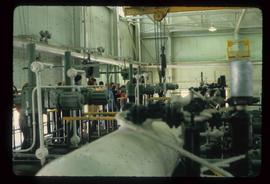
Image depicts industrial machinery in an uncertain location near McLeod Lake, B.C.
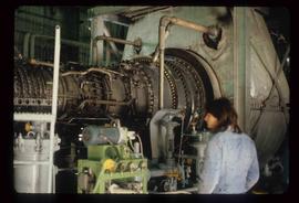
Image depicts a piece of industrial machinery in an uncertain location near McLeod Lake, B.C.
File consists of notes, clippings, and reproductions relating to Indigenous Peoples of what is now known as the central interior British Columbia. Includes material on Carrier Sekani First Nations whose traditional territory includes north central British Columbia and includes the Ts'il Kaz Koh First Nation, Nadleh Whut'en, Saik'uz First Nation, Stellat'en First Nation, Takla Lake First Nation, and Wet'suwet'en First Nations; and Dakelh, the Carrier First Nations language. Includes: various clipped articles from the Prince George Citizen newspaper and "Carrier-Sekani Tribal Council" pamphlet prepared by the Carrier-Sekani Tribal Council. File also contains photographs depicting a grassy field with flowers and a graveyard (2003).
Subseries consists of material collected and created by Kent Sedgwick for research regarding Indigenous Peoples within British Columbia. These files primarily consist of audio recordings and transcripts of personal oral interviews, documents regarding perceptions of Indigenous peoples, research on historical interactions, Dakelh (Carrier) language, and treaty information including the Nisga'a treaty and Treaty 8. Includes materials on the Carrier Sekani First Nations whose traditional territory includes north central British Columbia and includes the Ts'il Kaz Koh First Nation, Nadleh Whut'en, Saik'uz First Nation, Stellat'en First Nation, Takla Lake First Nation, and Wet'suwet'en First Nations.
The item is a photograph of an Indigenous painting depicting a Canada goose.
The item is a photograph of an Indigenous painting depicting a Canada goose.
The item is a photograph of an Indigenous painting depicting a bald eagle.
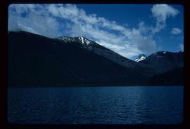
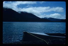
Image depicts Indianpoint Lake.
Image depicts Indianpoint Lake.
The item is a photo index of commercial businesses on the south side of 3rd Avenue in Prince George.
The item is an index print of commercial office buildings on the north side of 3rd Avenue in Prince George.
Index print contains 25 photographs of a yard, a blue house and 5 portraits. The photographs were taken by Kent Sedgwick.
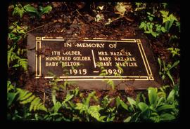
Image depicts a grave-marker with several names, it reads: "In Memory of Edith Golder, Winnifred Golder, Baby Pelton, Mrs. Nazarek, Baby Nazarek, Baby Wazylyk 1915 - 1929." It is located in the Willow River Cemetery.
File contains slides depicting places in Idaho, Wyoming, and Montana, USA.
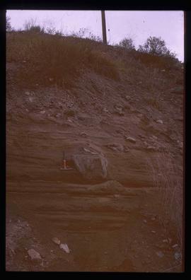
Image depicts a boulder protruding from layers of sediment with a hammer beside it for size reference. It is located somewhere in Soda Creek, B.C.
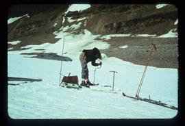
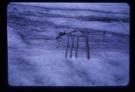
Image depicts an unidentified individual drilling into the ice.
Image depicts a hand-held ice drill.
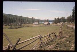
Image depicts the old log buildings of the town of Hydraulic, B.C.
File contains slides depicting Premier Mine in Hyder, Alaska.
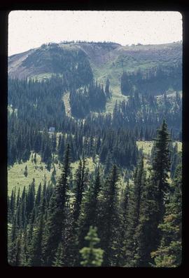
Image depicts a small grey building, possibly Raven Cabin, sitting at the foot of a ridge.
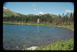
Image depicts the Raven Lake Hut on the other side of Raven Lake.
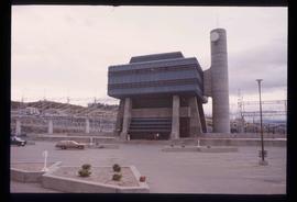
Image depicts the W.A.C. Bennett Dam in Hudson's Hope, B.C.
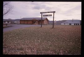
Image depicts the log building that acts as the public library in Hudson's Hope, B.C.
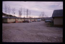
Image depicts what appears to be a motel in Hudson's Hope, B.C. The slide is labelled "camp HH."
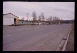
Image depicts a street with a building which is labelled "MacKeigan Enterprises Ltd." in Hudson's Hope, B.C.
Image depicts two houses in Hudson's Hope, B.C.
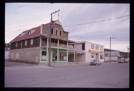
Image depicts an old, three-storey building beside a two-storey hotel in Hudson's Hope, B.C.
Image depicts what appears to be a Fire Hall in Hudson's Hope, B.C.
Image depicts what appears to be a Fire Hall in Hudson's Hope, B.C.
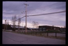
Image depicts a street in Hudson's Hope, B.C.
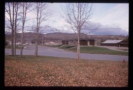
Image depicts a road and numerous buildings in Hudson's Hope, B.C.
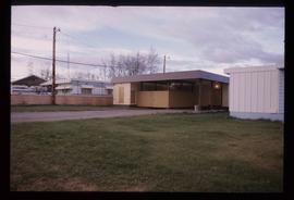
Image depicts a cabin and several other buildings, possibly located in Hudson's Hope, B.C.
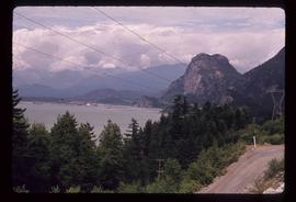
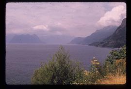
Image depicts a view of Howe Sound from the Stawamus Chief Nature Trail to the Stawamus Chief Mountain, which is often incorrectly referred to as "Squamish" Chief.
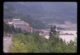
Image depicts the Britannia Mine, which closed in 1974 and is now a museum. "Anaconda" was the last operating owner.
Image depicts Howe Sound.
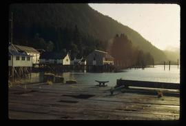
Image depicts a number of houses built on stilts over a body of water in an uncertain location.
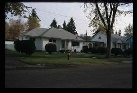
Image depicts houses on Dogwood Street in the Millar Addition neighbourhood of Prince George, B.C. On the left is 1610 Dogwood Street and 1630 Dogwood Street is the middle house; 1650 Dogwood Street is the blue house on the right.
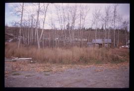
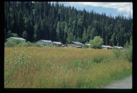
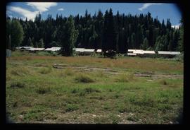
Image depicts a row of houses in Upper Fraser, B.C. Map coordinates 54°06'51.6"N 121°56'26.3"W
Image depicts a row of houses in Upper Fraser, B.C. Map coordinates 54°06'51.6"N 121°56'26.3"W
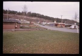
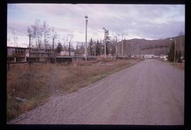
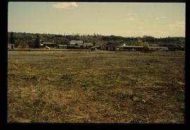
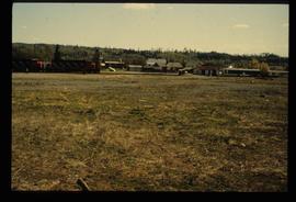
Image depicts the Giscome B.C. townsite from across the railroad tracks looking southeast. Map coordinates 54°04'19.7"N 122°22'04.7"W
Image depicts the Giscome B.C. townsite from across the railroad tracks looking southeast. Map coordinates 54°04'19.7"N 122°22'04.7"W
