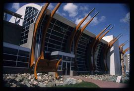
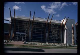
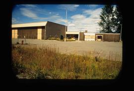
Image depicts the Two Rivers Art Gallery in Prince George, B.C.
Image depicts the Two Rivers Art Gallery in Prince George, B.C.
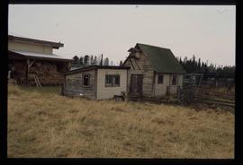
Image depicts two small sheds at an uncertain location. The slide labels them as "Giscome bldgs in Blackburn."
The photograph depicts two CN train engines in the interior of the CN roundhouse in Prince George, BC. Engine identifying numbers are 9648 and 9660. Reproduction of photograph from 1984.
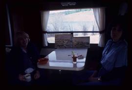
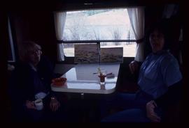
Image depicts two women at a table; the one on the right is possibly Sue Sedgwick. The image may have been taken in Meldrum Creek, B.C.
Image depicts two women at a table; the one on the right is possibly Sue Sedgwick. The image may have been taken in Meldrum Creek, B.C.
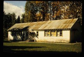
Image depicts a two-room schoolhouse in Penny, B.C.
The item is an exterior photograph of the Agora / Student Centre and the University of Northern British Columbia in Prince George.
The item is an exterior photograph of the Charles J. McCaffray Hall Administrative Building at the University of Northern British Columbia in Prince George.
The item is an interior photograph of the Charles J. McAffray Administrative Building, Prince George. The photograph depicts offices and walkways.
The item is an exterior photograph of the Dr. Donald Rix Northern Health Centre at the University of Northern British Columbia, Prince George.
The item is an exterior photograph of the Dr. Donald Rix Northern Health Centre at the University of Northern British Columbia, Prince George.
The item is an exterior photograph of the Library and some unique architecture at the University of Northern British Columbia, Prince George.
The item is an exterior photograph of a stairwell in one of the outside courtyards at the University of Northern British Columbia, Prince George.
The item is a photograph of a commercial building in Prince George. The canopy on the front of the building says, "United." The photograph of the building is at an angle, the majority of the photograph is the parking lot.
This item is a photograph of the backside of the United Way building in Prince George in 2006. The Coast Hotel can be seen in the background.
This item is a photograph of the United Way building on the corner of 7th Avenue and Quebec Street, Prince George. The Telus building can be seen in the background.
This item is a photograph of the United Way building on the corner of 7th Avenue and Quebec Street, Prince George. The Telus building can be seen in the background.
The item is a photograph negative depicting the back exterior of a beige townhome complex. There is snow on the townhome and ground with a wooden fence around the townhouse.
The item is a photograph negative depicting the back exterior of a beige townhome complex. There is snow on the townhome and ground with a wooden fence around the townhouse.
Image depicts a house in Upper Fraser with the residential area in the background. Map coordinates 54°07'02.8"N 121°56'37.5"W
Image depicts Upper Fraser Elementary School, after closure of town site. Map coordinates 54°06'54.4"N 121°56'16.6"W
Image depicts Upper Fraser Elementary School, after closure of town site. Map coordinates 54°06'54.4"N 121°56'16.6"W
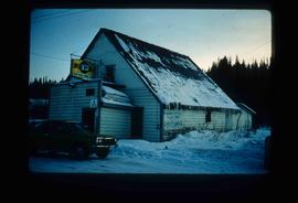
Image depicts the Upper Fraser General Store in Upper Fraser, B.C. Two other signs indicate that it is also a post office and a place that offers propane refills. Map coordinates 54°07'10.8"N 121°56'51.7"W
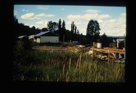
Image depicts several houses, likely in Upper Fraser, B.C.
Image depicts entrance to mill yard for Upper Fraser mill in Upper Fraser, B.C. Map coordinates 54°07'10.8"N 121°56'51.7"W
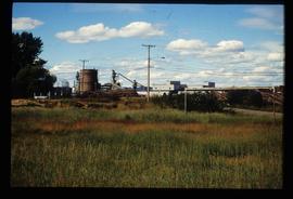
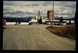
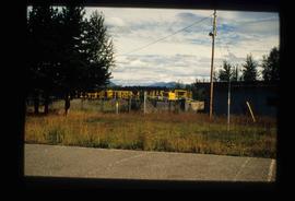
Image depicts Upper Fraser mill yard with log deck and beehive burner in silhouette across railroad tracks. Located in Upper Fraser, B.C. Map coordinates 54°07'01.5"N 121°56'29.6"W
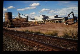
Image depicts numerous log decks at the Upper Fraser sawmill. Map coordinates 54°07'10.8"N 121°56'51.7"W
Image depicts the entrance to the Upper Fraser mill yard in Upper Fraser, B.C. Map coordinates 54°07'10.8"N 121°56'51.7"W
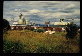
Image depicts the Upper Fraser mill yard with a CN train in Upper Fraser, B.C. Map coordinates 54°07'10.8"N 121°56'51.7"W
Image depicts the entrance to the Upper Fraser mill yard in Upper Fraser, B.C. Map coordinates 54°07'10.8"N 121°56'51.7"W
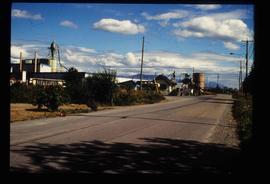
Image depicts the Upper Fraser Road running through Upper Fraser, B.C. A newer style round burner is seen in the background. Map coordinates 54°07'05.7"N 121°56'38.9"W
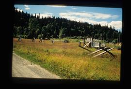
Image depicts Upper Fraser town site playground, after closure of town site. Map coordinates 54°07'01.4"N 121°56'29.9"W
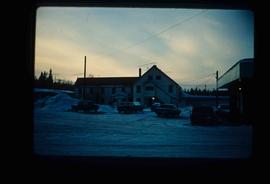
Image depicts an older building with numerous vehicles parked out front in Upper Fraser, B.C. Map coordinates 54°07'03.5"N 121°56'34.4"W
Image depicts houses in the Upper Fraser residential area during demolition of town site. Map coordinates 54°06'51.6"N 121°56'26.3"W
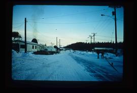
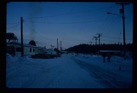
Image depicts the Upper Fraser Road running through Upper Fraser, B.C. A beehive burner is seen in the background on the left and the mill office is seen on the right. Map coordinates 54°07'05.7"N 121°56'38.9"W
Image depicts several unidentified individuals walking along the snow-covered Upper Fraser Road with numerous buildings on either side. Map coordinates 54°07'05.7"N 121°56'38.9"W
Image depicts the sewage treatment plant in Upper Fraser, B.C. after the closure of the town site. Map coordinates 54°06'51.6"N 121°56'10.2"W
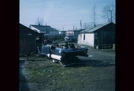
Image depicts a damaged, upturned car in Island Cache.
The item is a photograph of a utility trailer and parking lot on 3rd Avenue in Prince George. Trailer is from GE Capital Modular Space with a sign stating "Third Ave. Revitalization : Surface Demolition and Removal of Canopies"
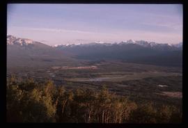
Image depicts a view of Valemount, with numerous mountains in the background.
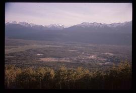
Image depicts a view of Valemount with numerous mountains in the background.
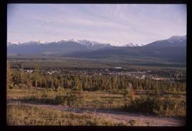
Image depicts a view of Valemount with numerous mountains in the background.
Image depicts the Valemount CN Station.
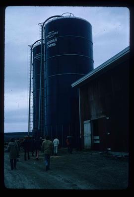
Image depicts a barn with large, Harvestore Systems. It is possibly located on one of the many farms near Vanderhoof, B.C.
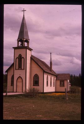
Image depicts a Catholic Church on Stoney Creek Road in Vanderhoof, B.C.
The photograph depicts a cylindrical metal venting stack at the interior of the CN roundhouse in Prince George, BC. Reproduction of photograph from 1984.
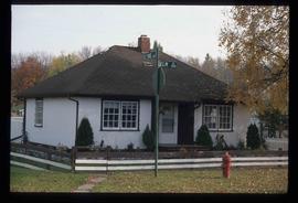
Image depicts a property given to the Veterans of the Second World War, located on the corner of 15th Avenue and Elm Street in Prince George, B.C.
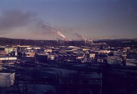
Image depicts a view of Prince George from City Hall looking northeast with the pulp mills in the background. Map coordinates 53°54'46.3"N 122°44'41.9"W
Image depicts a view of the Millar Addition suburb from Connaught Hill in Prince George, B.C.
