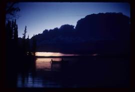
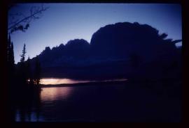
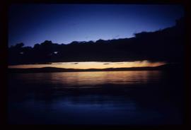
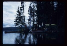
Image depicts several houses in Chetwynd, B.C.
Image depicts a view of some farm land in Chetwynd, B.C.
Image depicts a Chevron station as well as two motels in Chetwynd, B.C.
Image depicts a view of Chetwynd, possibly from Highway 97.
Image depicts the Cheslatta River.
Image depicts what appears to be a tour group at Cheslatta.
Image depicts the Cheslatta Falls.
File contains slides depicting Chemanus, B.C.
Image depicts the wall of a chasm full of trees at an unknown location.
Image depicts a chasm full of trees at an unknown location.
File contains slides that reproduce historical photographs of Indigenous peoples of Central Interior, as well as maps.
Image depicts an individual crouching in an old cemetery located somewhere in the coastal forest on Haida Gwaii, B.C.
Image depicts a road in Cayoosh Valley.
Image depicts a mountain side in Cayoosh Valley.
Image depicts a view of Cayoosh Valley.
Image depicts a view of Cayoosh Valley. Cayoosh Creek is visible in the bottom left corner of the image.
Image depicts Cayoosh Valley.
Image depicts a view of the scenery surrounding Cayoosh Creek.
Image depicts a bridge over Cayoosh Creek.
Image depicts Cayoosh Creek.
Image depicts Cayoosh Creek from a bridge in Cayoosh Valley.
File contains slides depicting a caving group in various places in West Virgina, USA.
Image depicts the Catholic Church in Penny, B.C.
Image depicts a Catholic Church in Stewart, B.C.
Image depicts a truck parked on the side of the Cassiar Highway.
File contains slides depicting images of areas in the Carp Lake Provincial Park.
Image depicts a low rain cloud over Carp Lake, and a man on a boat on the lake.
Image depicts a low rain cloud over Carp Lake.
Image depicts a man holding a chain of fish on the shore of Carp Lake.
Image depicts a green canoe sitting in the water on the shore of Carp Lake.
Image depicts Carp Lake at dusk.
Image depicts a campsite on the shore of Carp Lake.
Image depicts two boats on the shore of Carp Lake.
Image depicts miocene gravels on Carney Hill in Prince George, B.C.