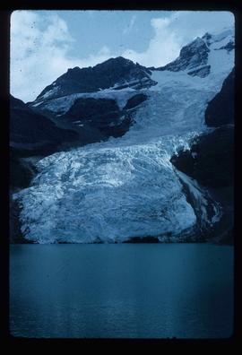
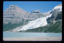
Image depicts the Berg Glacier at Berg Lake in the Mt. Robson Provincial Park.
Image depicts the Berg Glacier and Berg Lake near Mt. Robson.
Image depicts the Berg Glacier and Mt. Robson.
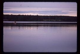
Image depicts two individuals on a canoe on Big Bar Lake north of Clinton, B.C..
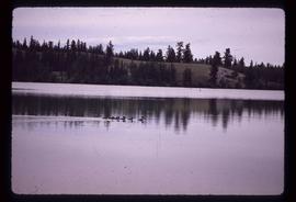
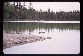
Image depicts the a flock of ducks on Big Bar Lake north of Clinton, B.C..
Image depicts the a flock of ducks on Big Bar Lake north of Clinton, B.C..
File contains slides depicting birds and wildlife at unknown locations.
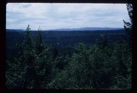
Image depicts a view of Blackburn Schools, possibly taken from Tabor Mountain.
Image depicts a view of Blackwater in the country near Punchaw, B.C.
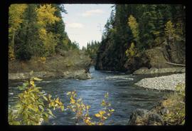
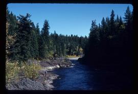
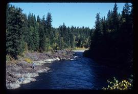
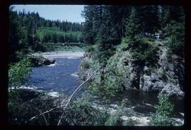
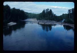
Image depicts Blackwater River, B.C.
Image depicts the Blackwater River.
Image depicts Blackwater River.
Image depicts Blackwater River.
Image depicts Blackwater River.
Image depicts Blackwater River.
Image depicts Blackwater River.
Image depicts Blackwater River.
Image depicts Blackwater River.
Image depicts Blackwater River.
Image depicts Blackwater River.
Image depicts Blackwater River, B.C.
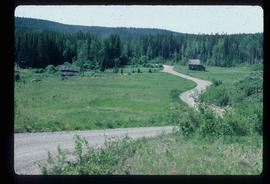
Image depicts an abandoned cabin and shed on Blackwater Road.
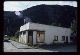
Image depicts a boarded up building in Stewart B.C. There is also a sign that reads: "No U Turns."
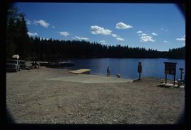
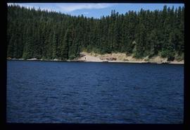
Image depicts a boat launch with several people nearby; it is possibly at War Lake in Carp Lake Provincial Park.
Image depicts a boat launch; it is possibly at War Lake in Carp Lake Provincial Park.
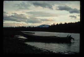
Image depicts a riverboat on the Fraser River, possibly in Longworth, B.C.
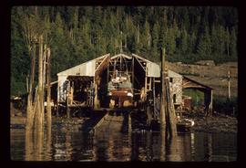
Image depicts a boat docked inside what appears to be a type of boathouse, possibly located in Metlakatla near Prince Rupert, B.C.
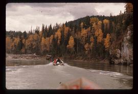
Image depicts a group of people in boats on the Fraser River in the Grand Canyon, B.C.
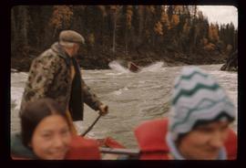
Image depicts a group of people in boats, with Ray Mueller steering one of them, on the Fraser River in the Grand Canyon, B.C.
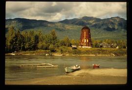
Image depicts several boats on what appears to be a river, and an old beehive burner in Penny, B.C.
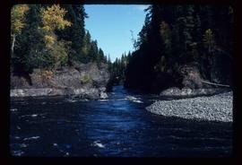
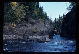
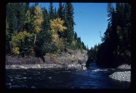
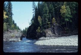
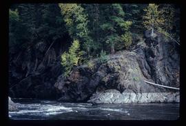
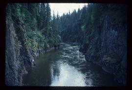
Image depicts what is possibly the Bowron River. The slide is simply labelled "Bowron Canyon."
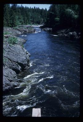
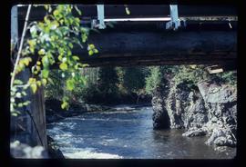
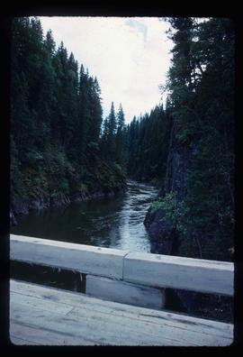
Image depicts what is possibly the Bowron River from a bridge. The slide is simply labelled "Bowron Canyon."
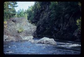
Image depicts what appears to be a log jam on what is possibly the Bowron River. The slide is simply labelled "Bowron Canyon."
File contains slides depicting the Bowron Lake Provincial Park.
File contains slides depicting locations in and around Bralorne, B.C.
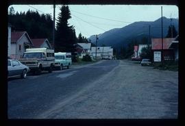
Image depicts Bralorne, B.C.
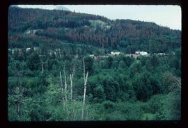
Image depicts an area of Barlone, B.C. surrounded by trees.
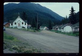
Image depicts a church and a row of houses in Bralorne, B.C.
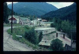
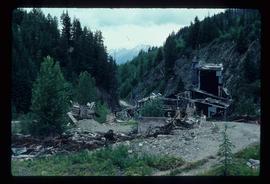
Image depicts a few boarded-up buildings in Bralorne, B.C.
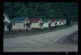
Image depicts a row of houses in Bralorne, B.C.
Image depicts a row of houses in Bralorne, B.C.
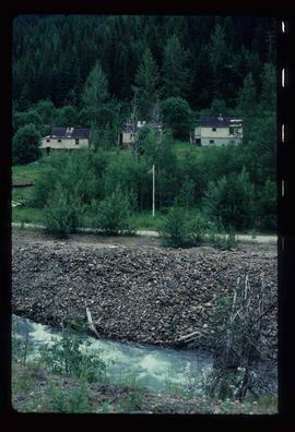
Image depicts several houses in Bralorne, B.C.
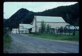
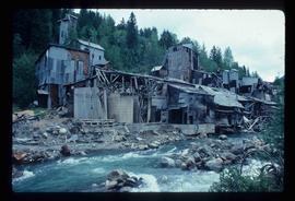
Image depicts what is possibly an old, rundown mill in Bralorne, B.C.
Image depicts what is possibly an old, rundown mill in Bralorne, B.C.
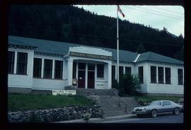
Image depicts the old sales office of Bralorne Pioneer Mines Ltd. which is now the Bralorne Pioneer Museum.
File consists of maps and notes relating to the original Prince George city plans by Brett and Hall. Brett & Hall were landscape architects from Boston, MA who designed the original plan for Prince George, including features such as the Crescents neighbourhood. Includes photographs depicting the original plans by Brett & Hall for Prince George (2006).
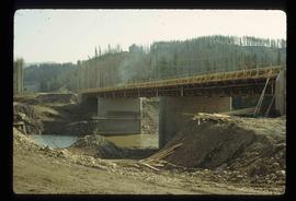
Image depicts a bridge under construction in Tumbler Ridge, B.C.
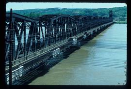
Image depicts a bridge in Prince George, B.C.
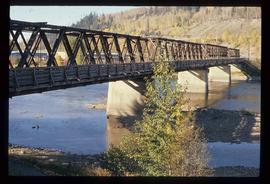
Image depicts a bridge in Prince George, B.C.
Image depicts a bridge in Prince George, B.C.
