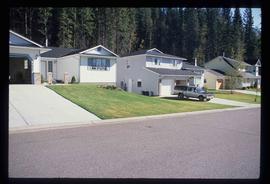
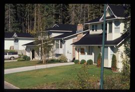
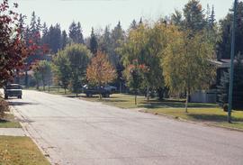
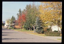
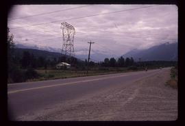
Image depicts a neighbourhood on North Meadows Road in Prince George, B.C.
Image depicts a neighbourhood on North Meadows Road in Prince George, B.C.
Image depicts Noralee, B.C.
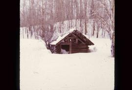
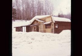
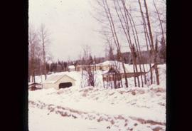
Image depicts an old shack buried in snow, possibly in Newlands, B.C.
Image depicts an old building that was possibly once a gas station in the community of Newlands, B.C.
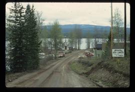
Image depicts what is possibly the community of Newlands, B.C.
File consists of notes, clippings, and reproductions relating to Newlands, a settlement village along the East Line that had various mills, including the United Gran Growers Co-op mill, and mixed farming. Newlands was a substantial town between 1928 and 1950 when the post office was shut down. File also includes photographs depicting the Newlands homestead (Sept. 2001).
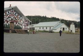
Image depicts New Aiyansh.
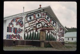
Image depicts a building painted with First Nations art in New Aiyansh.
The item is a photograph depicting the old site of Ness Lake school. A house, two horses and a corral are shown in the field. Annotation on reverse side of the photograph states, "Ness L. school site, new corrall."
The item is a photograph depicting the old site of Ness Lake school. A house, two horses and a corral are shown in the field. Annotation on reverse side of the photograph states, "Ness L. site."
File contains slides depicting places in Nelson.
Image depicts a subdivision of Prince George, B.C.
Image depicts the Nechako Subdivision in Prince George, B.C.
This item is a 35 mm photograph negative of the Nechako River, Prince George. Water level is very low.
This item is a 35 mm photograph negative of the Nechako River, Prince George. Water level is very low.
This item is a 35 mm photograph negative of the Nechako River, Prince George. Water level is very low.
This item is a 35 mm photograph negative of the Nechako River, Prince George. Water level is very low.
This item is a 35 mm photograph negative of the Nechako River, Prince George. Water level is very low.
The photograph depicts the Nechako River in the autumn North of Finmoore, B.C.
The item is a photograph depicting a small structure along the river during the Nechako River flood on 20 December 1948. Annotation on reverse side of photograph states, "Nechako River Flood. Dec. 20th, 1948."
The item is a photograph depicting the river during the Nechako River flood on 20 December 1948. Annotation on reverse side of photograph states, "Nechako River Flood Dec. 20/48 At Caine Lbr Co Mill Site River Road."
The item is an album of three photographs depicting the Nechako River flood in December 1948. Photographs depict Caine Lumber Co. Ltd. Annotations on the album state, "Nechako River Ice Flood on Riverside Ave. Dec. 20th 1948 Looking East from office of Caine Lbr. Co. Ltd."
The item is an album of three photographs depicting the Nechako River flood in December 1948. Photographs depict Caine Lumber Co. Ltd. and the Nechako Bridge. Annotations on the album state, "At Caine Lumber Co Mill Site. River Road. Nechako River Flood Dec. 20/1948 - Opposite the Cut Bank - Nechako Bridge Dec. 20/1948."
The item is a photograph depicting the river during the Nechako River flood on 20 December 1948. Annotation on reverse side of photograph states, "Nechako River Flood Dec. 20/48 Opposite the Cutbank."
The item is an album of three photographs depicting the Nechako River flood in January 1937. Annotations on the album state, "Nechako River Flood 1937."
The item is an album of three photographs depicting the Nechako River flood around the CN Railway Yard in January 1937. Annotations on the album state, "Nechako River Flood 1937."
The item is an album of three photographs depicting the Nechako River flood around the CN Railway Yard in January 1937. Annotations on the album state, "Nechako River Flood 1937." Attached note states, "collection of A. Vrastak."
The item is a photograph depicting a man on train tracks holding a fish during the Nechako River flood in January 1937. Annotations on reverse side of the photograph state, "Water Receded - Fish on the Tracks."
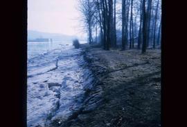
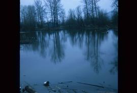
Image depicts the bank of the Nechako River at Island Cache.
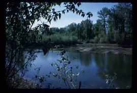
Image depicts what is possibly a small section of the Nechako River on Cottonwood Island.
Image depicts a body of water in Island Cache. It is possibly a small section of the Nechako River.
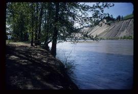
Image depicts the Nechako River on Cottonwood Island.
Image depicts the Nechako River from Cottonwood Island.
File consists of notes and reproductions relating to the Nechako cutbanks in Prince George. Includes: "The Cutbanks" typed document by Kent Sedgwick (1 Feb. 1996). File also includes a photograph depicting heritage river trail signs erected at the cutbanks and describing the significance of the cutbanks in Prince George (1996).
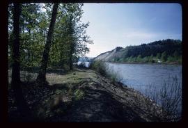
Image depicts the cutbanks on the other side of the Nechako, taken from the nature trail at Island Cache. Map coordinates 53°55'34.6"N 122°45'52.4"W
Image depicts the cutbanks on the other side of the Nechako, taken from the nature trail at Island Cache. Map coordinates 53°55'34.6"N 122°45'52.4"W
Image depicts the cutbanks on the other side of the Nechako, taken from the nature trail at Island Cache. Map coordinates 53°55'34.6"N 122°45'52.4"W
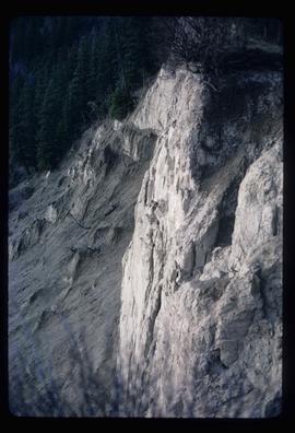
Image depicts a cutbank on the Nechako River in Prince George, B.C.
The item is a photograph depicting the Nechako Bridge and river during the Nechako River flood on 20 December 1948. Annotation on reverse side of photograph states, "Dec 20/1948 Nechako ice flood. Nechako Bridge."
The item is a photograph depicting the Nechako Bridge during the Nechako River flood in January 1937. Annotation on the photograph states, "Nechako Bridge 1937 Flood."
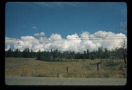
Image depicts a stretch of land from Highway 97 near Williams Lake, B.C.
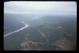
Image depicts an aerial view of some scenery near Williams Lake, B.C. The highway and BCR tracks are visible among the trees.
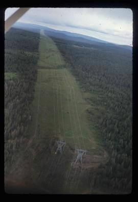
Image depicts an aerial view of a stretch of power lines somewhere near Williams Lake, B.C.
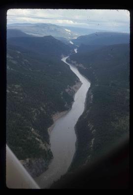
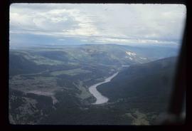
Image depicts an aerial view of the Fraser River near Soda Creek, B.C.
Image depicts an aerial view of the Fraser River near Soda Creek, B.C.
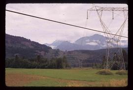
Image depicts some power lines and mountains near Pemberton, B.C.
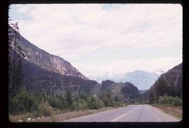
Image depicts Highway 99 north of Squamish and near Pemberton, B.C.
Image depicts Highway 99 north of Squamish, near Pemberton, B.C.
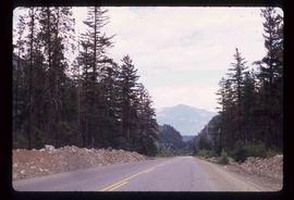
Image depicts Highway 99 near Pemberton, B.C.
