2012.13.1.14.06
·
Item
·
Dec. 1997
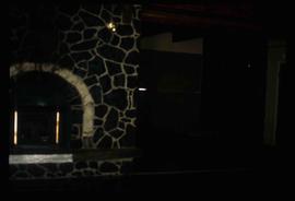
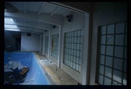
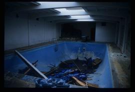
Part of J. Kent Sedgwick fonds
Image depicts a swimming pool filled with debris in the interior of the Ginter House in Prince George, B.C.