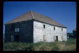
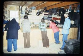
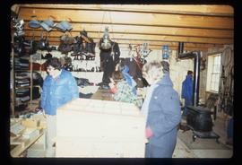
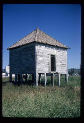
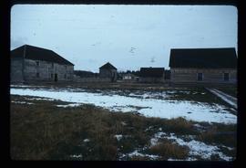
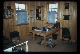
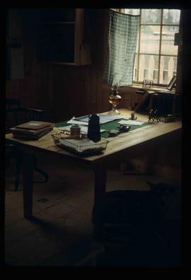
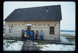
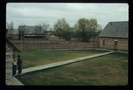
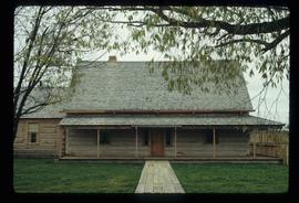
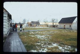
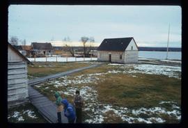
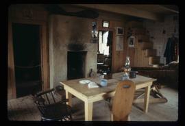
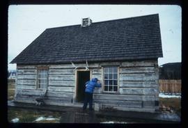
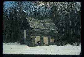
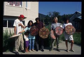
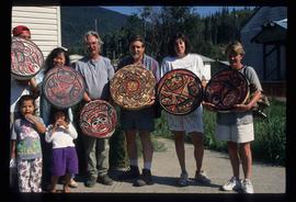
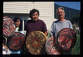
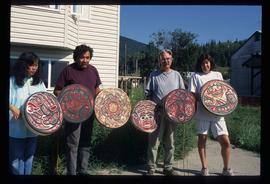
File consists of photographs depicting Fort St. James.
Image depicts the old Trading Outpost in Fort St. James, B.C.
Image depicts the interior of the historic Hudson's Bay Company Trading Post, with several unknown individuals present, in Fort St. James, B.C.
Image depicts the interior of the historic Hudson's Bay Company Trading Post in Fort St. James, B.C.
Image depicts the interior of the historic Hudson's Bay Company Trading Post, with several unknown individuals present, in Fort St. James, B.C.
Image depicts a partially frozen lake, most likely Stuart Lake in Fort St. James, B.C.
Image depicts an old shack on stilts in Fort St. James, B.C.
Image depicts the Hudson's Bay Company Trading Post at the historic site in Fort St. James, B.C.
Image depicts the interior of the historic Hudson's Bay Company office in Fort St. James, B.C.
Image depicts the historic Hudson's Bay Company office in Fort St. James, B.C.
Image depicts the Hudson's Bay Company historic site in Fort St. James, B.C.
Image depicts the interior of a historic building in Fort St. James, B.C.
Image depicts a historic building in Fort St. James, B.C.
Image depicts an old log building in Fort St. James; the sign on it reads "Clerk's Living Quarters, Later Used as Fort St. James First School."
Image depicts a church in Fort St. James, B.C.
Image depicts the Fort George Regional Museum in Prince George, B.C.
Image depicts the Fort George Regional Museum (now known as The Exploration Place) in Prince George, B.C. Map coordinates 53°54'18.6"N 122°44'09.8"W
Image depicts the Fort George Regional Museum in Prince George, B.C. Map coordinates 53°54'18.6"N 122°44'09.8"W
Image depicts the Fort George Park. Map coordinates 53°54'30.2"N 122°43'57.4"W
The item is a photograph slide reproduction depicting a flooded river in Fort George Park, currently Lheidli T'enneh Memorial Park.
The item is a photograph slide reproduction depicting a flooded river and covered area in Fort George Park, currently Lheidli T'enneh Memorial Park.
Image depicts a building from the 1880's in Fort Fraser.
Image depicts the abandoned and crumbling Forman's General Store somewhere in or near either Barkerville or Wells, B.C.
Image depicts several pieces of heavy machinery used in forestry. The Coast Inn of the North is seen in the background.
Image depicts an unidentified individual examining a piece of heavy machinery used in the forestry industry. It is located in Prince George, B.C.
Image depicts a forestry cabin located in Tête Jaune Cache, B.C.
Image depicts the Foothills Bridge over the Nechako river on the Foothills Boulevard in Prince George, B.C. Map coordinates 53°56'52.5"N 122°48'59.9"W
Image depicts a narrow footbridge suspended over a river at an uncertain location.
Image depicts what appears to be a footbridge at an uncertain location.
Image depicts the Flying U Ranch at 70 Mile House, B.C.
The item is a photograph of white and pink flowers in a garden or field, believed to be on 3rd Avenue in Prince George.
The item is a photograph slide reproduction depicting the raised floodwaters on the Fraser River with a bridge in the background.
The item is a photograph slide reproduction depicting the raised floodwaters on the Fraser River and the Cottonwood Trail.
The item is a photograph slide reproduction depicting a partially flooded street in Prince George.
The item is a photograph slide reproduction depicting houses in the flooded Cottonwood area, Prince George in 1972. Annotation on the slide states, "1972 Cottonwood."
The item is a photograph slide reproduction depicting houses in the flooded Cottonwood area, Prince George in 1972. Annotation on the slide states, "Cottonwood Isl 1972."
Image depicts numerous boats docked by a buildings identified as the "Prince Rupert Fishermen's Co-operative Association."
Image depicts several unidentified individuals standing outside a building, and holding intricately painted drums; the woman on the right is Sue Sedgwick. The location is uncertain.
Image depicts several unidentified individuals standing outside a building and holding intricately painted drums; Kent Sedgwick is standing the middle of the group with Sue Sedgwick beside him. The location is uncertain.
Image depicts several unidentified individuals standing outside a building, and holding intricately painted drums. The location is uncertain.
Image depicts several unidentified individuals standing outside a building, and holding intricately painted drums; the woman on the right is Sue Sedgwick. The location is uncertain.
The item is a photograph of the front exterior of Prince George's first hospital at 1584 8th Avenue, Prince George.