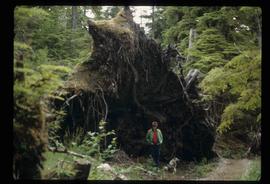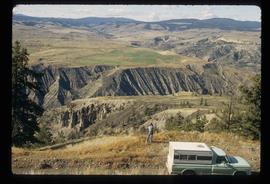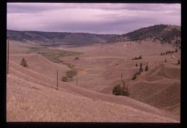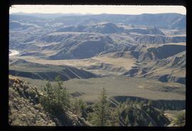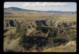
2012.13.1.85.21
·
Item
·
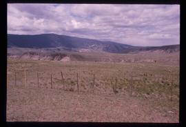
1976
Part of J. Kent Sedgwick fonds
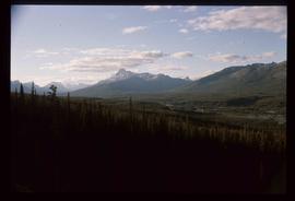
Image depicts a view of a mountain range near Valemount, B.C. Valemount is barely visible among the trees on the right side of the image.