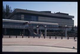
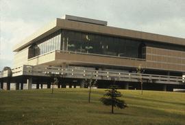
Image depicts the Prince George Public Library.
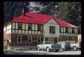
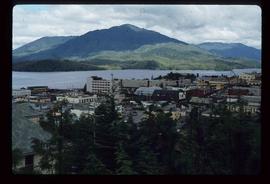
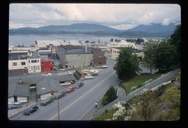
Image depicts the Provincial Government Building located in Stewart, B.C.
The item is a slide depicting a white house from the front. House is a proposed heritage building.
The item is a slide depicting a white house from the front. House is a proposed heritage building.
File consists of notes, clippings, and reproductions relating to proposed heritage buildings in Prince George. Includes: "A heritage to remember" typescript document prepared by the Prince George Joint Heritage Advisory Committee (Dec. 1983); "Heritage aspects of 886 Vancouver Street" typescript letter sent to Alderman Monica Becott from Kent Sedgwick (2 May 1991); and "House at 1677 - 7th Ave". typed letter to Ed Chanter from Kent Sedgwick (9 Sept. 1994). Also includes photographs depicting houses at the addresses 1651 Fifth Avenue, 1085 Vancouver Street, 983 Vancouver Street, 1675 Fifth Avenue, 1643 Fifth Avenue, 886 Vancouver Street, 1734 Twelfth Avenue (1991).
Subseries consists of materials collected and created by Kent Sedgwick for research on prominent individuals within Prince George and northern/central British Columbia. These individuals include various photographers, John Warren Meyer, Fannie Kinney, Father Adrien Morice, Henry Spencer Palmer, and Bridget Moran. The files also contain various other obituaries and materials regarding prominent individuals in Prince George.
Series contains material created during Kent Sedgwick’s teaching appointments at the College of New Caledonia and the University of Northern British Columbia. He held a position as a Geography Instructor at CNC from 1970 until 1983 and did frequent guest lectures at UNBC until he became an adjunct professor from 2003 until 2009. He conducted guest lectures and taught course on historical geography and local history. The files primarily consist of lectures, notes, and correspondence between Sedgwick and the institutions.
Image depicts a view of the port in Prince Rupert, B.C. The slide is labelled "superport."
Image depicts a view of what is possibly a shipping yard in Prince Rupert, B.C. The slide is labelled "superport."
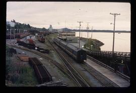
Image depicts the rail yards in Prince Rupert.
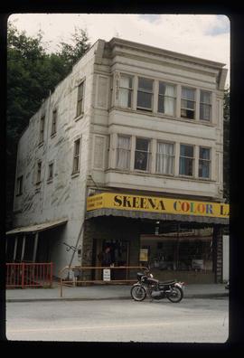
Image depicts an old building on the main street of Prince Rupert, B.C. Only half of the business name is visible: "Skeena Color [sic]."
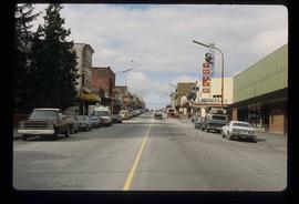
Image depicts the main street of Prince Rupert, B.C.
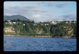
Image depicts numerous houses on the cliff-sides in Prince Rupert, B.C.
Image depicts numerous houses in Prince Rupert, B.C.
Image depicts several houses in Prince Rupert, B.C.
Image depicts numerous houses in Prince Rupert, B.C.
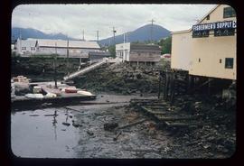
Image depicts numerous buildings and a small dock somewhere in Prince Rupert, B.C. One of the buildings is labelled "Fishermen's Supply."
Image depicts a view of the downtown core of Prince Rupert, B.C.
Image depicts the City Hall of Prince Rupert, B.C.
Image depicts the Bank of Nova Scotia located on "Besner Block" in Prince Rupert, B.C.
File contains slides depicting places in and around Prince Rupert, B.C.
Image depicts a view of Prince Rupert, B.C.
Image depicts a view of Prince Rupert, B.C.
Image depicts a view of Prince Rupert, B.C.
The item is a photograph and negative of a survey map of the Prince George townsite surrounding Connaught Park.
The item is a photograph negative of a survey map of the Prince George townsite surrounding Connaught Park.
The item is a photograph and negative of a survey map of the Prince George townsite South of the Nechako River and West of the Fraser River.
The item is a photograph and negative of a survey map of the Prince George townsite surrounding Connaught Park.
The item is a photograph and negative of a survey map of the Prince George townsite South of the Nechako River and West of the Fraser River.
The item is a photograph and negative of a survey map of the Prince George townsite surrounding Connaught Park.
The item is a photograph and negative of a survey map of the Prince George townsite surrounding Connaught Park, South of the Grand Trunk Pacific railway.
The item is a photograph and negative of a survey map of the Prince George townsite surrounding Connaught Park.
Image depicts the Four Seasons Leisure Pool, and the Centennial Fountain in Prince George, B.C. Map coordinates 53°54'48.5"N 122°44'49.2"W
Subseries contains material collected and created by Kent Sedgwick for research regarding various areas surrounding Prince George. Includes materials on the Crooked River area; Summit Lake; Ferguson Lake; Chief Lake; Salmon Valley; Mud River; Beaverly; Buckwater; Chilako River; Indian Reserve no. 4; Blackburn; Pineview; Stone Creek; Red Rock; Woodpecker; and Hixon. The files primarily consist of research notes and photographs depicting the communities.
The item is a photograph depicting the rear side of the Prince George Snowmobile Club. The building was originally Buckhorn school. The building is wooden with a metal roof. Sign on the door reads, "Alarmed."
The item is a photograph depicting the side of the Prince George Snowmobile Club. The building was originally Buckhorn school. The building is wooden with a metal roof. Sign on the door reads, "New Members Welcome."
The item is a photograph depicting the front and side of the Prince George Snowmobile Club. The building was originally Buckhorn school. The building is wooden with a metal roof.
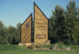
Image depicts the Prince George welcome and population sign, with a population of 71,086. Map coordinates 53°53'52.0"N 122°46'08.7"W
Image depicts the Prince George Sawmill from the Northwood Bridge.
Image depicts Prince George Sawmill taken from across the Nechako River looking southwest. Map coordinates 53°56'00.0"N 122°44'29.7"W
Image depicts Prince George Sawmill taken from across the Nechako River looking southwest. Map coordinates 53°56'00.0"N 122°44'29.7"W
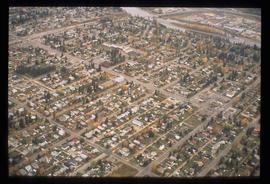
Image depicts an aerial view of a Prince George residential section between Highway 97, Carney Street and 10th Ave looking north. Map coordinates 53°54'54.0"N 122°46'00.4"W
The item is a contact print of photo negatives. The print includes photos of downtown Prince George ca. 1980.
The item is a photograph depicting the Prince George Railway Museum building ca. 1990. The building is white with a front deck and is situated behind a chain link fence.
File consists of clippings, notes, and reproductions relating to the Prince George Railway and Forestry Museum. Includes: "Railway and forestry museum" letter to Kent Sedgwick from Ranjit Gill at the Railway and Forestry Museum (16 Nov. 2009); "RE: Grand Trunk Pacific Roundhouse, Prince George, B.C". typescript letter to the British Columbia Heritage Trust from G.M. Grant of the Central British Columbia Railroad Preservation & Museum Society (11 Jan. 1984); and "Nechako Comes Home" article from the Prince George Railway Museum (1990). Also includes a 1990 photograph depicting a building at the Railway and Forestry Museum and a polaroid depicting the location of the Railway Museum in 1978, at the time a garbage dump.
The item is an interior photograph of the Prince George Public Library. Image depicts the stairwell entrance and elevator.
The item is a photograph depicting a narrow staircase from the parking level to the Prince George Public Library.
The item is a photograph depicting a narrow staircase from the parking level to the Prince George Public Library.
The item is a photograph depicting the exterior entrance from the parking level to the Prince George Public Library.
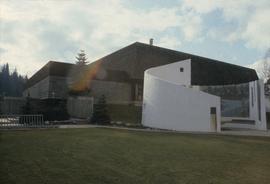
Image depicts the Prince George Public Library (Bob Harkins Branch). Map coordinates 53°54'43.1"N 122°44'56.4"W
