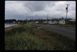
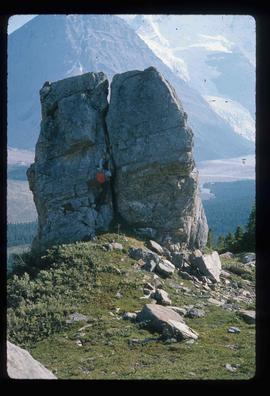
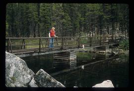
Image depicts a view of McGregor Valley.
Image depicts a view of McGregor Valley from an uncertain location.
Image depicts a view of McGregor Valley.
File contains slides depicting the McGregor River and its surrounding areas.
Image depicts the McGregor from the point of view of a bridge.
Image depicts a bridge over the McGregor River. A sign in the image reads: "Danger. The river is not navigable for any type of boat. Down stream falls and rapids impassible!"
Image depicts a bridge over the McGregor River.
Image depicts the McGregor River at an uncertain location.
Image depicts what is possibly the McGregor River.
Image depicts the McGregor River at an uncertain location.
Image depicts a view of the Herrick River in what is possibly McGregor Canyon; the slide is simply labelled "McG Canyon - above Herrick."
Image depicts a view of the Herrick River in what is possibly McGregor Canyon; the slide is simply labelled "McG above Canyon."
Image depicts a view of the Herrick River in what is possibly McGregor Canyon; the slide is simply labelled "McG Canyon."
Image depicts a view of the Herrick River in what is possibly McGregor Canyon; the slide is simply labelled "McG above Canyon."
Image depicts the McBride Hotel near the Mt. Robson Provincial Park.
Image depicts the McBride District Centennial Library.
Image depicts the rear-end of the CN Station in McBride, B.C.
Image depicts the CN Station in McBride, B.C.
File consists of notes, clippings, and reproductions relating to Mcbride and Dunster. Includes photographs depicting the Croyden cemetery and the Dunster ferry site (2005).
File contains slides depicting places in and between McBride and the Yellowhead Pass via the Yellowhead Highway.
Image depicts a view of what is either the Rocky Mountains or possibly the Columbia Mountains from McBride, B.C.
Image depicts a view of what is either the Rocky Mountains or possibly the Columbia Mountains in the background of a small section of McBride, B.C.
Image depicts an old house somewhere in McBride, B.C.
Image depicts several houses in McBride, B.C. A mountain is visible in the background.
Image depicts a house somewhere in McBride, B.C.
Image depicts a machine shop somewhere in McBride, B.C. The sign above the door reads "McBride Air Cooled Engine Services Ltd."
Image depicts the Elks Hall in McBride, B.C.
Image depicts a church somewhere in McBride, B.C. The sign in front possibly reads "St. Patrick's Church."
Image depicts the All Saints Anglican Church in McBride, B.C. The slide labels it as having "moved to PG."
Image depicts McBride, B.C.
Image depicts a row of houses in the village of Masset on Haida Gwaii.
Image depicts the road to Manson Creek, B.C.
Image depicts the Omineca Museum in Manson Creek, B.C.
Image depicts a creek with a half collapsed shack in the background somewhere in Manson Creek. The slide is labelled "Manson workings."
Image depicts the gas station at Manson Creek, B.C.
Image depicts a man and his family filling up their truck with gas at Manson Creek, B.C.
Image depicts Manson Creek, B.C.
File contains slides depicting places in and around Manson Creek.
Image depicts an unidentified man lighting a fire somewhere in South Tweedsmuir Provincial Park.
Image depicts an individual, possibly Kent Sedgwick, standing on a trail through a forest somewhere in or around Seton Portage, B.C.
Image depicts an unknown individual climbing the side of a large boulder.
Image depicts an unidentified man standing on a wood bridge somewhere in South Tweedsmuir Provincial Park.