2012.13.3.1.55.4
·
Item
·
10 May 2006
Part of J. Kent Sedgwick fonds
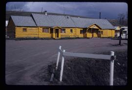
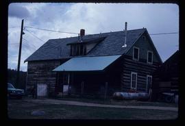
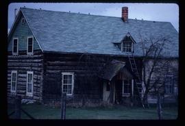
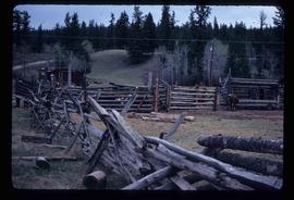
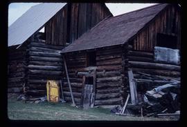
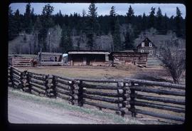
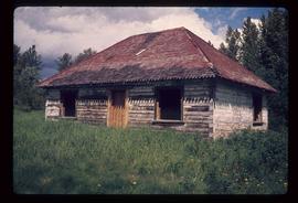
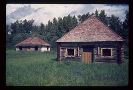
The item is a photograph depicting the exterior of old damaged buildings on the Moffat farmland. There is a fence at the entrance to the driveway with an address sign that reads "1820."